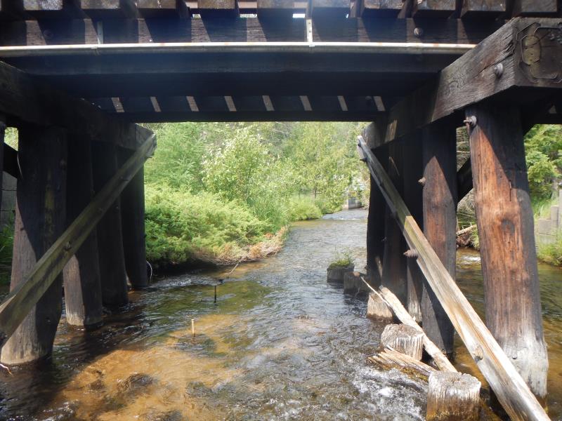
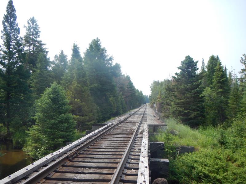
Road Stream Crossing Site Boyne_BV-9
Lake Charlevoix Watershed, Boyne River
Railroad
Charlevoix County
Information collected by:
Site Location
GPS Coordinates: 45.1801223131543
, -84.9135845809531
Fish Passability 0
Severity: Severe
Year Inventoried: 2015
Inlet
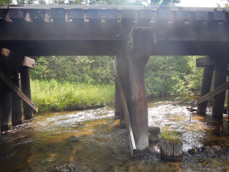
Outlet
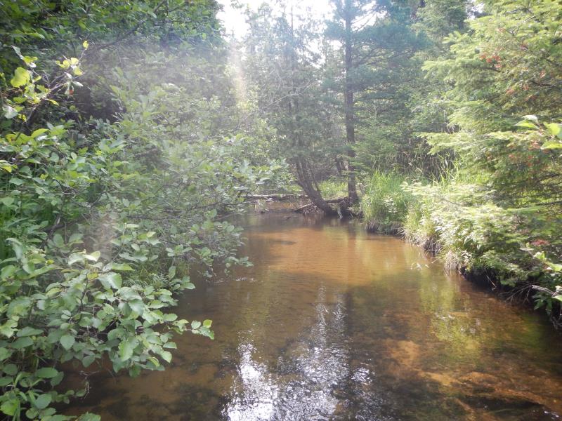
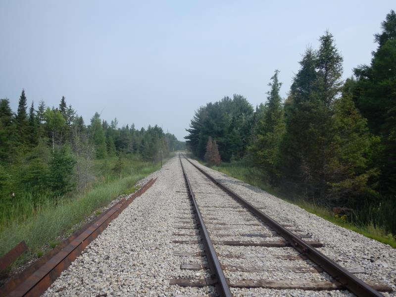
Upstream Conditions
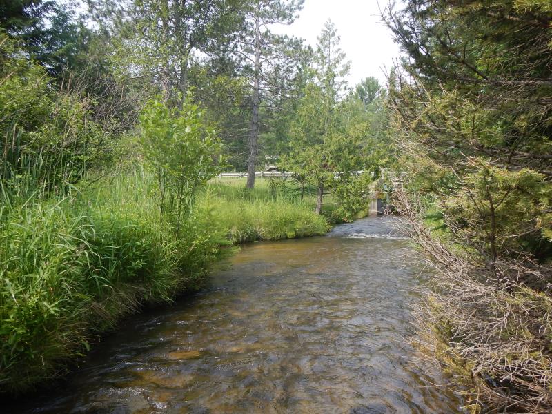
Downstream Conditions
Road Approach - Left
Road Approach - Right
Crossing Information
Type of Crossing: Bridge
Structure Material: Wood
Structure Substrate: Mixture
General Conditions: Fair
Dimensions of Structure: Length 29 ft.
, Width 9 ft.
, Height 7 ft.
Structure Inlet
Water Depth: 0.75 ft.
Water Velocity*: 2.06 ft./sec.
Structure Outlet
Water Depth: 0.75 ft.
Water Velocity*: 1.92 ft./sec.
(with Meter)
Stream Information
Stream Flow: Less than Bankfull
Riffle Information
Water Depth: 8 ft.
Bankfull Width: 18 ft.
Wetted Width: 18 ft.
Water Velocity: 2.58 ft./sec.
Road Information
Federal Road
Road Condition: Good
Road Width at Culvert: 9 ft.
Location of Low Point: At Stream
Slope: 1:2
Slope: 1:2
Length: 700 ft.
Slope: Less Than 1%
Vegetation: Partial
Length: 900 ft.
Slope: Less Than 1%
Vegetation: Partial
Erosion Information
Summary Information
Fish Passability 0
�