Road Stream Crossing Site Boyne_EG-1
Lake Charlevoix Watershed, Boyne River
Lake St
Charlevoix County
Information collected by:
Site Location
GPS Coordinates: 45.2143632588726
, -85.0147454465343
Fish Passability 0.9
Total Erosion: 0.3702 tons/year
Severity: Minor
Year Inventoried: 2015
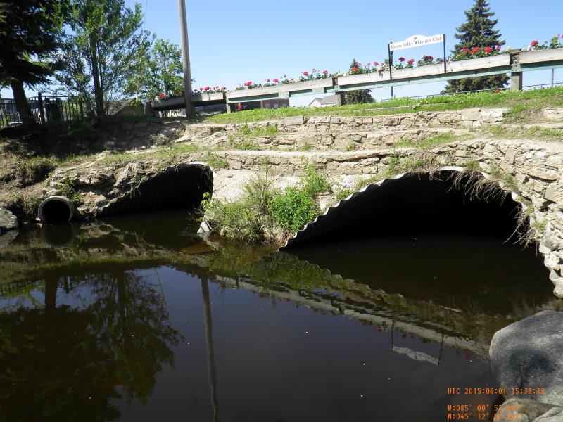
Inlet
Outlet
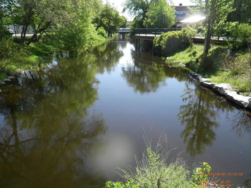
Upstream Conditions
Downstream Conditions
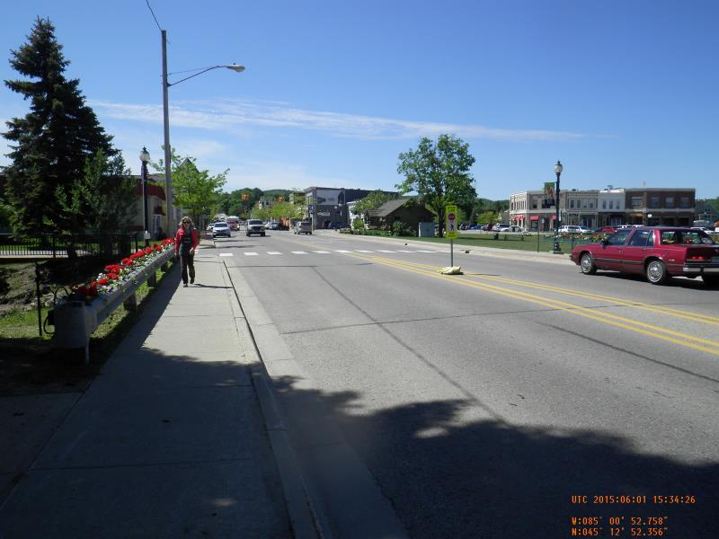
Road Approach - Left
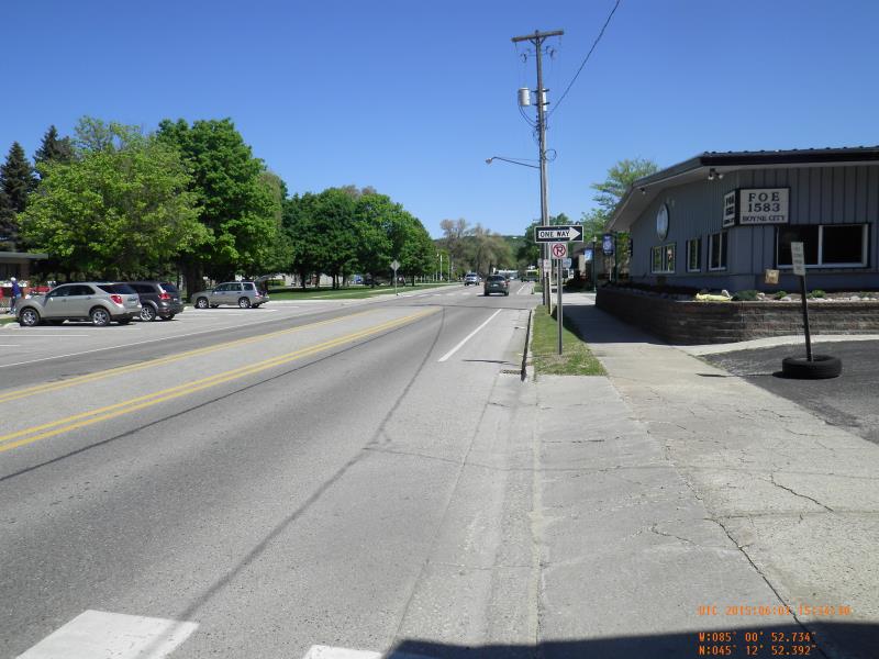
Road Approach - Right
Crossing Information
Type of Crossing: culvert(s)
Number of Structures: 2
Structure Shape: Pipe Arch
Inlet Type: Mitered
Outlet Type: At Stream Grade
Structure Material: Metal
Structure Substrate: Mixture
General Conditions: Good
Multiple Culverts/Spans | ||||
Culvert/Span | Width | Length | Height | Material |
1 |
13 ft. |
7 ft. |
Metal |
|
2 |
13 ft. |
7 ft. |
Metal |
|
Structure Interior: corrugated
Dimensions of Structure: Length 72.5 ft.
, Width 13 ft.
, Height 7 ft.
Structure Inlet
Water Depth: 3.3 ft.
Water Velocity*: 1.2 ft./sec.
Structure Outlet
Water Depth: 4.5 ft.
Water Velocity*: 1.04 ft./sec.
*Water Velocities were measured 1.98 ft. below Surface
(with Meter)
Additional Comments
Northern Michigan Premier Properties
Stream Information
Stream Flow: Less than Bankfull
Scour Pool: Length 68640 ft.
, Width 6600 ft.
, Depth 142 ft.
Upstream Pond: Length 0 ft.
, Width 0 ft.
, Depth 0 ft.
Riffle Information
Water Depth: 4.4 ft.
Bankfull Width: 32.75 ft.
Wetted Width: 31.75 ft.
Water Velocity: 1.9 ft./sec.
Road Information
Gravel
County Road
Road Condition: Good
Road Width at Culvert: 56 ft.
Location of Low Point: At Stream
Runoff Path: Roadway
Embankments
Upstream
Fill Depth: 3 ft.
Slope: 1:2
Downstream
Fill Depth: 3 ft.
Slope: 1:2
Approaches
Left Approach
Length: 200 ft.
Slope: Less Than 1%
Vegetation: None
LS Factor: 0.06
Erosion: 0.1851 tons/year
Right Approach
Length: 200 ft.
Slope: Less Than 1%
Vegetation: None
LS Factor: 0.06
Erosion: 0.1851 tons/year
Erosion Information
Total Erosion at Crossing: 0.3702 tons/year
Summary Information
Fish Passability 0.9
�