Road Stream Crossing Site Boyne_EG-2
Lake Charlevoix Watershed, Boyne River
Park Street
Charlevoix County
Information collected by:
Site Location
GPS Coordinates: 45.2141640114688
, -85.0131819937482
Fish Passability 0.9
Total Erosion: 0.0357 tons/year
Severity: Minor
Year Inventoried: 2015
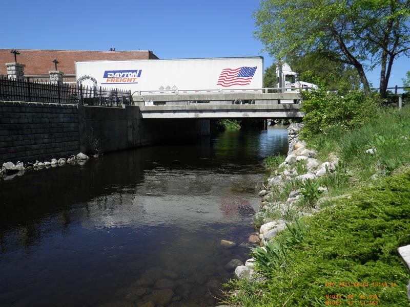
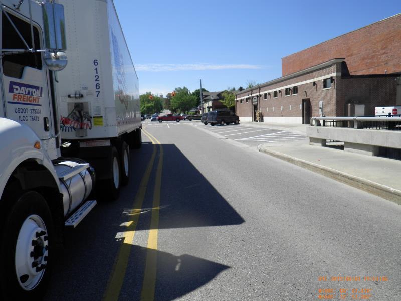
Inlet
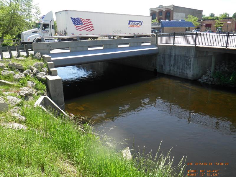
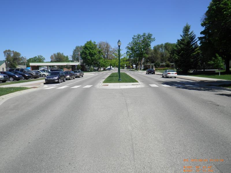
Outlet
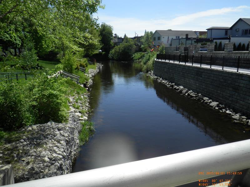
Upstream Conditions
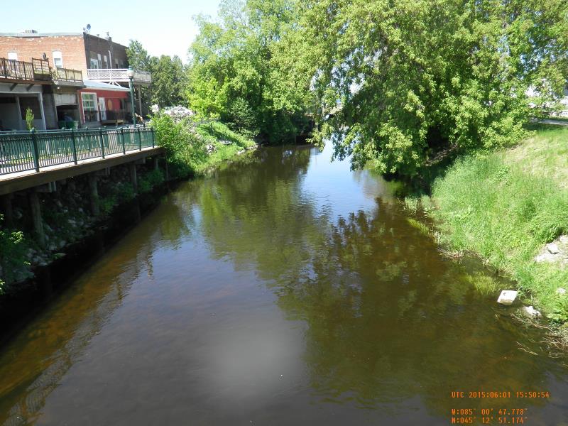
Downstream Conditions
Road Approach - Left
Road Approach - Right
Crossing Information
Type of Crossing: Bridge
Structure Material: Concrete
Structure Substrate: Rock
General Conditions: Good
Dimensions of Structure: Length 45 ft.
, Width 40 ft.
, Height 10 ft.
Structure Inlet
Water Depth: 3.5 ft.
Water Velocity*: 1.1 ft./sec.
Structure Outlet
Water Depth: 4 ft.
Water Velocity*: 1.07 ft./sec.
*Water Velocities were measured 1.5 ft. below Surface
(with Meter)
Riffle Information
Water Depth: 4.4 ft.
Bankfull Width: 32.75 ft.
Wetted Width: 31.75 ft.
Water Velocity: 1.9 ft./sec.
(Measured with Meter)
Dominant Substrate: Cobble
Road Information
Paved
Town Road
Road Condition: Good
Road Width at Culvert: 45 ft.
Location of Low Point: At Stream
Runoff Path: Roadway
Approaches
Left Approach
Length: 200 ft.
Slope: Less Than 1%
Vegetation: None
LS Factor: 0.06
Erosion: 0.0179 tons/year
Right Approach
Length: 200 ft.
Slope: Less Than 1%
Vegetation: None
LS Factor: 0.06
Erosion: 0.0179 tons/year
Erosion Information
Total Erosion at Crossing: 0.0357 tons/year
Summary Information
Fish Passability 0.9
�