Road Stream Crossing Site Boyne_HU-10
Lake Charlevoix Watershed, Boyne River North Branch
Balog Rd
Charlevoix County
Information collected by:
Site Location
GPS Coordinates: 45.1811461235983
, -84.8211303532674
Fish Passability 0
Perch Height: 1.5 ft.
Severity: Severe
Year Inventoried: 2015
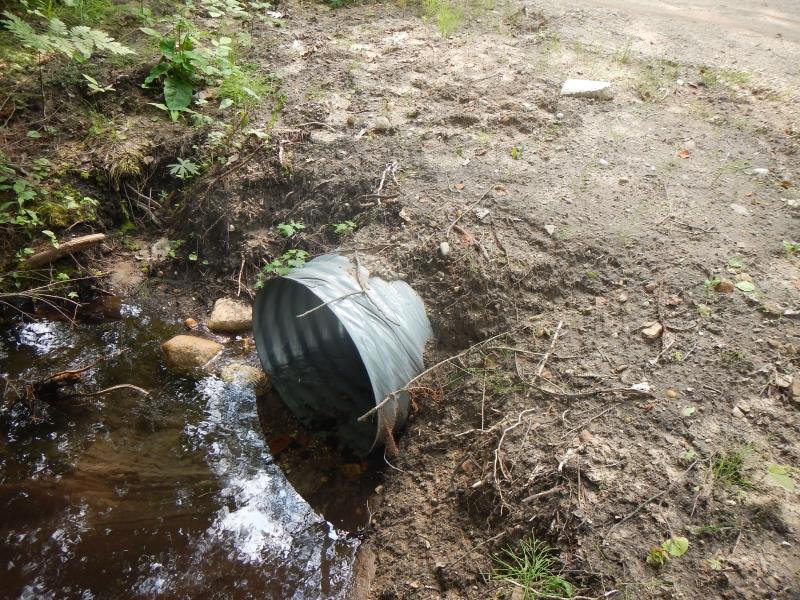
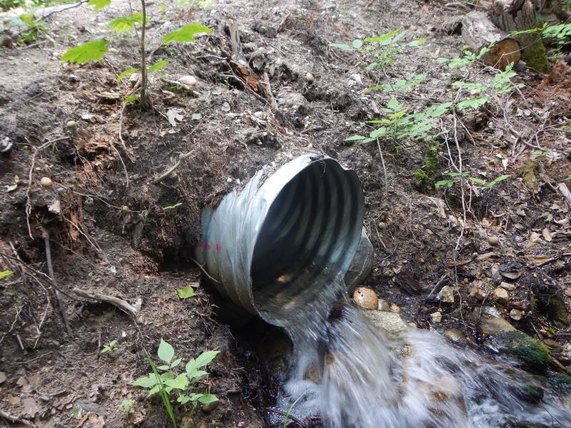
Inlet
Outlet
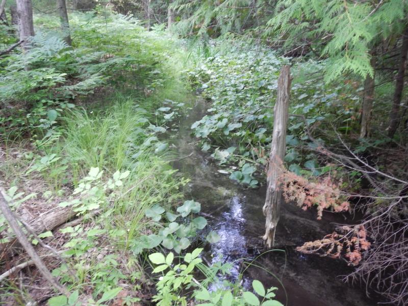
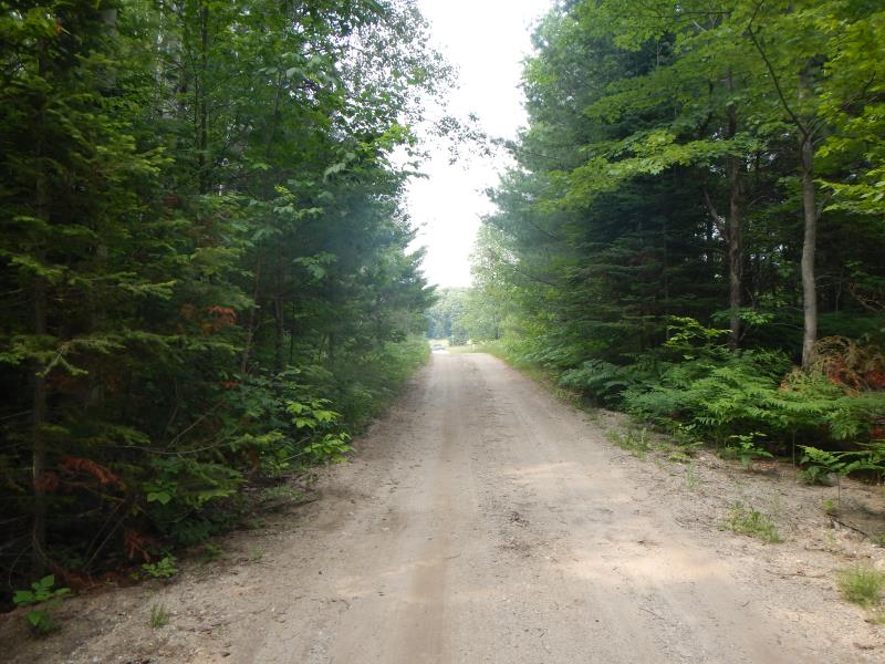
Upstream Conditions
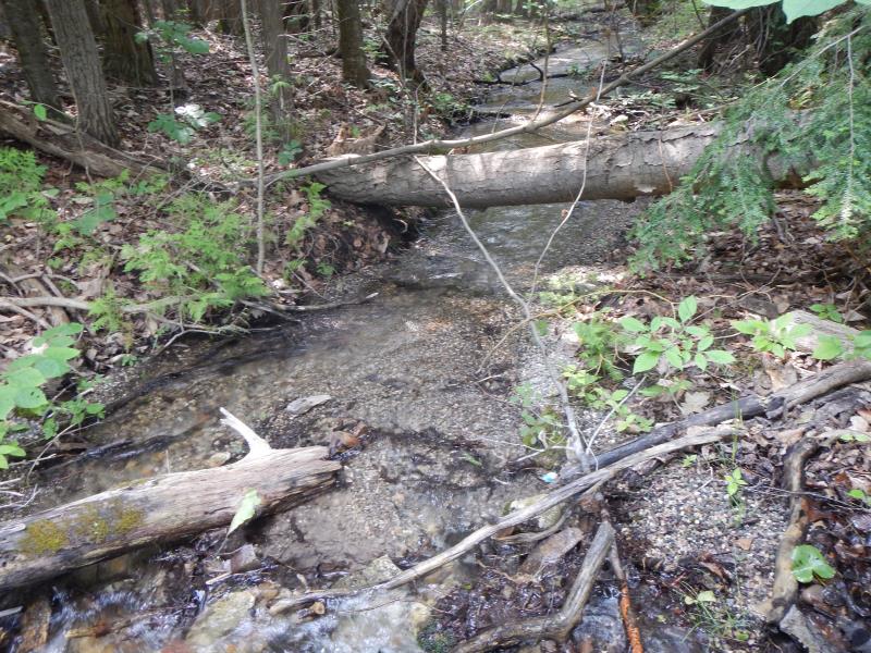
Downstream Conditions
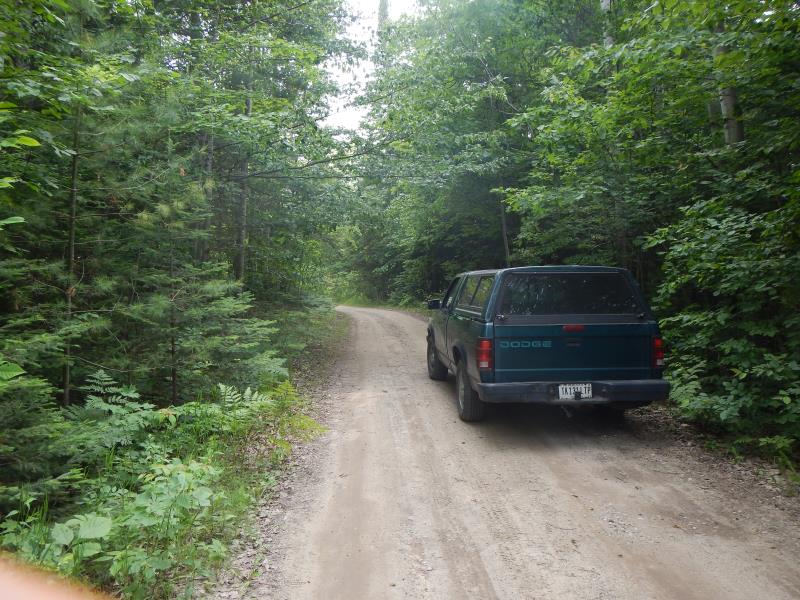
Road Approach - Left
Road Approach - Right
Crossing Information
Type of Crossing: culvert(s)
Number of Structures: 1
Structure Shape: Round
Inlet Type: Projecting
Outlet Type: Freefall into Pool
Structure Material: Metal
Structure Substrate: None
General Conditions: New
Structure Interior: corrugated
Dimensions of Structure: Length 30 ft.
, Width 3 ft.
, Height 3 ft.
Perch Height: 1.5 ft.
Structure Inlet
Water Depth: 0.6 ft.
Water Velocity*: 0.4 ft./sec.
Structure Outlet
Water Depth: 0.3 ft.
Water Velocity*: 4.2 ft./sec.
*Water Velocities were measured 0.36 ft. below Surface
(with Meter)
Upstream Pond: Length 4 ft.
, Width 4 ft.
Riffle Information
Water Depth: 0.17 ft.
Bankfull Width: 5 ft.
Wetted Width: 4.5 ft.
Water Velocity: 0.43 ft./sec.
(Measured with Meter)
Dominant Substrate: Gravel
Road Information
Gravel
Private Road
Road Condition: Fair
Road Width at Culvert: 15 ft.
Location of Low Point: At Stream
Runoff Path: Roadway
Embankments
Upstream
Fill Depth: 1 ft.
Slope: More than 1:2
Downstream
Fill Depth: 3 ft.
Slope: 1:1.5
Length: 50 ft.
Slope: 1% to 5%
Length: 50 ft.
Slope: 1% to 5%
Erosion Information
Extent of Erosion: Moderate
Notes: over culvert; gravelly loam; owner says culvert just placed by county- no veg restarted
Summary Information
Fish Passability 0
Fish Passage is an area of concern for this site.
both; huge perch, waterfall, eroding road-way
A future visit to this site is recommended. county just put in culvert-huge perch, but pipe in good shape
�