Road Stream Crossing Site Boyne_HU-3
Lake Charlevoix Watershed, Boyne River North Branch
Baker Rd
Charlevoix County
Information collected by:
Site Location
GPS Coordinates: 45.1787752188516
, -84.8363283049514
Fish Passability 0.5
Total Erosion: 1.0909 tons/year
Severity: Moderate
Year Inventoried: 2015
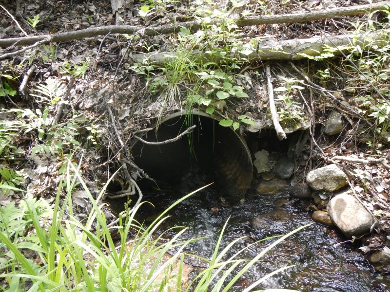
Inlet
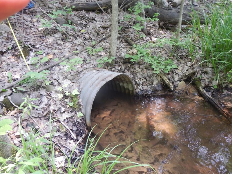
Outlet
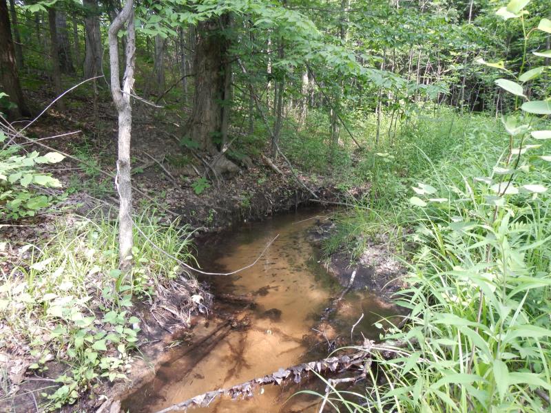
Upstream Conditions
Road Approach - Left
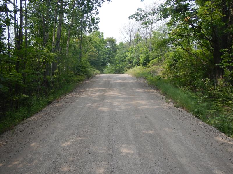
Road Approach - Right
Crossing Information
Type of Crossing: culvert(s)
Number of Structures: 1
Structure Shape: Round
Inlet Type: Projecting
Outlet Type: At Stream Grade
Structure Material: Metal
Structure Substrate: Sand
General Conditions: Good
Structure Interior: corrugated
Dimensions of Structure: Length 42 ft.
, Width 3 ft.
, Height 3 ft.
Structure Inlet
Water Depth: 0.45 ft.
Water Velocity*: 2.1 ft./sec.
Structure Outlet
Water Depth: 0.5 ft.
Water Velocity*: 0.54 ft./sec.
*Water Velocities were measured 0.27 ft. below Surface
(with Meter)
Stream Information
Stream Flow: Less than Bankfull
Riffle Information
Water Depth: 0.45 ft.
Bankfull Width: 5 ft.
Wetted Width: 5 ft.
Water Velocity: 0.82 ft./sec.
(Measured with Meter)
Dominant Substrate: Sand
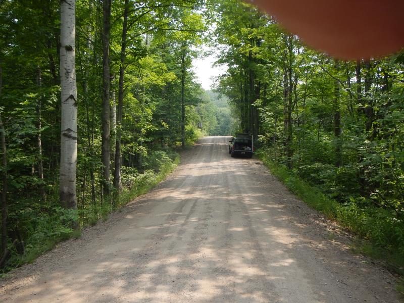
Road Information
Gravel
County Road
Road Condition: Good
Road Width at Culvert: 20 ft.
Location of Low Point: At Stream
Runoff Path: Roadway
Embankments
Upstream
Fill Depth: 12 ft.
Slope: Vertical
Downstream
Fill Depth: 10 ft.
Slope: Vertical
Approaches
Left Approach
Length: 100 ft.
Slope: 6% to 10%
Vegetation: Heavy
LS Factor: 0.99
Erosion: 0.5455 tons/year
Right Approach
Length: 100 ft.
Slope: 6% to 10%
Vegetation: Heavy
LS Factor: 0.99
Erosion: 0.5455 tons/year
Erosion Information
Total Erosion at Crossing: 1.0909 tons/year
Notes: above culvert inlet; gravelly loam
Summary Information
Fish Passability 0.5
Erosion is an area of concern for this site.
both; fast flow, eroding banks
A future visit to this site is recommended. both fish passage and erosion
�