Road Stream Crossing Site Boyne_HU-5
Lake Charlevoix Watershed, Boyne River North Branch
North Camp Ten Road
Charlevoix County
Information collected by:
Site Location
GPS Coordinates: 45.1744429683515
, -84.8511006325787
Fish Passability 0.5
Total Erosion: 3.0992 tons/year
Severity: Severe
Year Inventoried: 2015
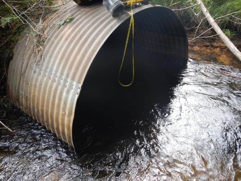
Inlet
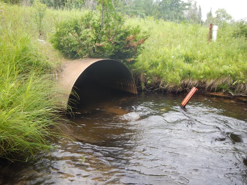
Outlet
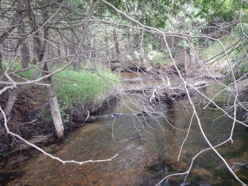
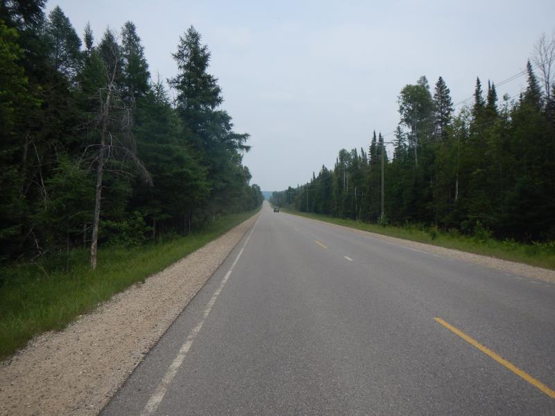
Upstream Conditions
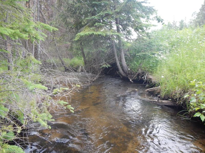
Downstream Conditions
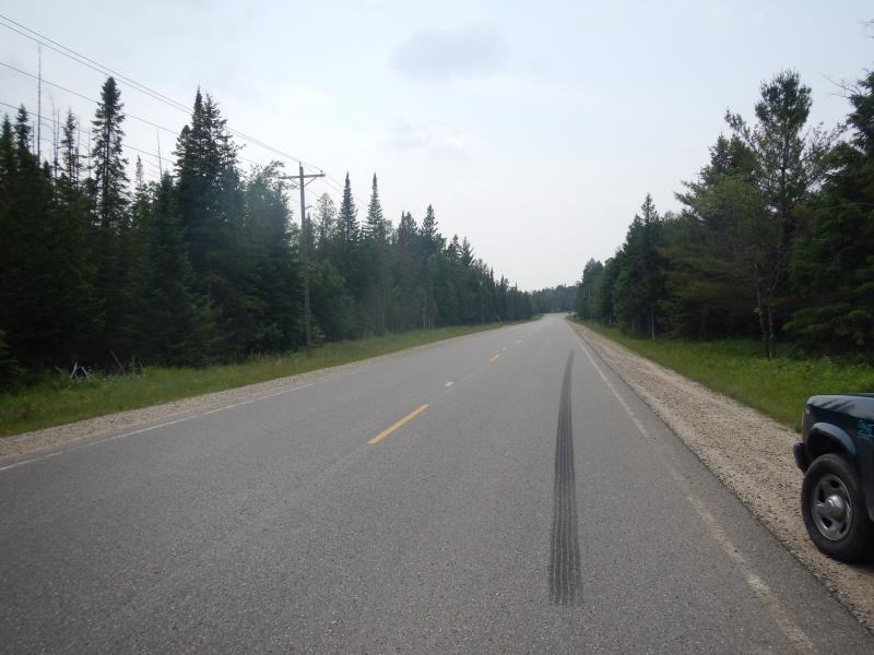
Road Approach - Left
Road Approach - Right
Crossing Information
Type of Crossing: culvert(s)
Number of Structures: 1
Structure Shape: Round
Inlet Type: Projecting
Outlet Type: At Stream Grade
Structure Material: Metal
Structure Substrate: None
General Conditions: Good
Structure Interior: corrugated
Dimensions of Structure: Length 70 ft.
, Width 5.42 ft.
, Height 3.5 ft.
Structure Inlet
Water Depth: 0.6 ft.
Water Velocity*: 1.7 ft./sec.
Structure Outlet
Water Depth: 1.5 ft.
Water Velocity*: 1.7 ft./sec.
(with Meter)
Stream Information
Stream Flow: Less than 1/2 Bankfull
Scour Pool: Length 25 ft.
, Width 15 ft.
, Depth 5 ft.
Riffle Information
Water Depth: 0.95 ft.
Bankfull Width: 12 ft.
Wetted Width: 12 ft.
Water Velocity: 1.3 ft./sec.
(Measured with Meter)
Dominant Substrate: Sand
Road Information
Paved
County Road
Road Condition: Good
Road Width at Culvert: 25 ft.
Location of Low Point: At Stream
Runoff Path: Roadway
Embankments
Upstream
Fill Depth: 6 ft.
Slope: 1:2
Downstream
Fill Depth: 6 ft.
Slope: 1:2
Approaches
Left Approach
Length: 1000 ft.
Slope: 6% to 10%
Vegetation: Partial
LS Factor: 3.15
Erosion: 2.6033 tons/year
Right Approach
Length: 800 ft.
Slope: 1% to 5%
Vegetation: Partial
LS Factor: 0.75
Erosion: 0.4959 tons/year
Erosion Information
Total Erosion at Crossing: 3.0992 tons/year
Summary Information
Fish Passability 0.5
Erosion is an area of concern for this site.
�