Road Stream Crossing Site Boyne_HU-7
Lake Charlevoix Watershed, Boyne River North Branch
Kuzmik Rd
Charlevoix County
Information collected by:
Site Location
GPS Coordinates: 45.1736856047
, -84.8559539515883
Fish Passability 0.5
Total Erosion: 5.5471 tons/year
Severity: Severe
Year Inventoried: 2015
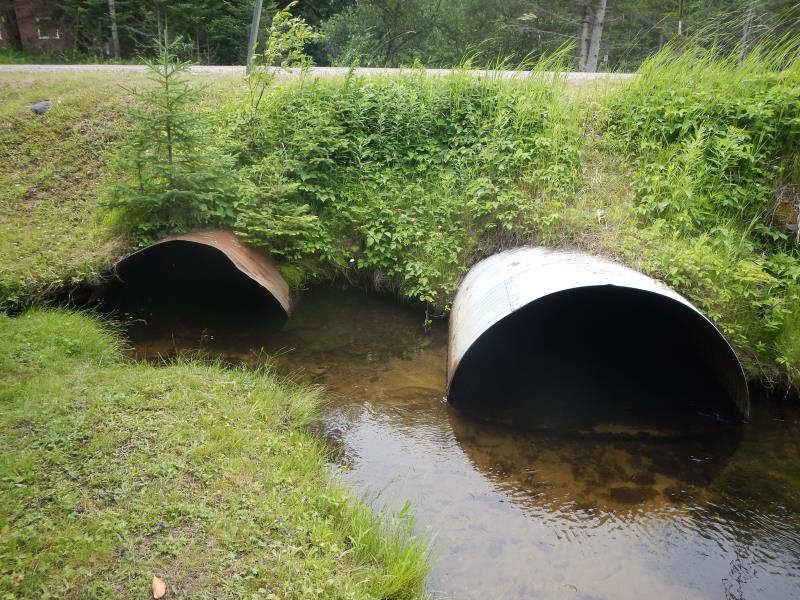
Inlet
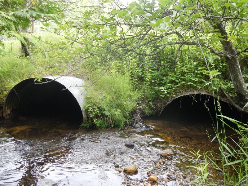
Outlet
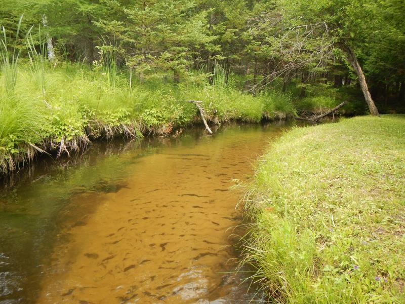
Upstream Conditions
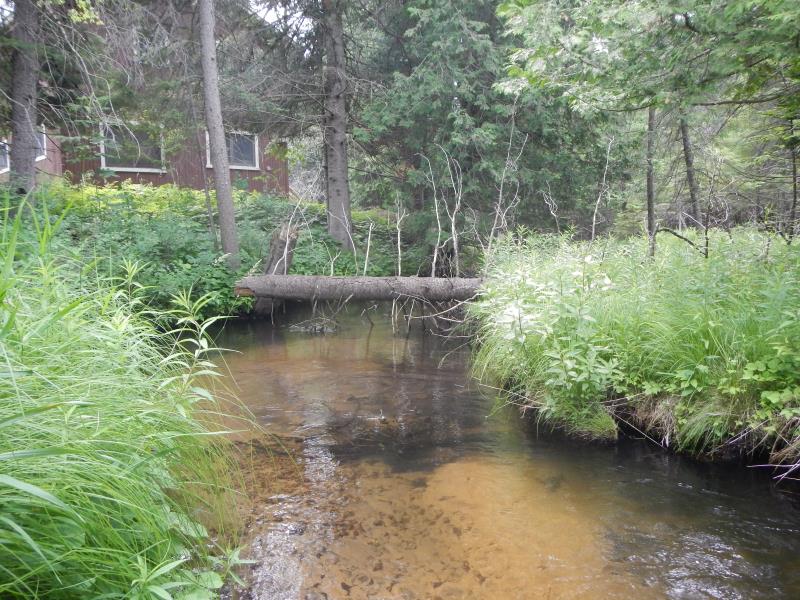
Downstream Conditions
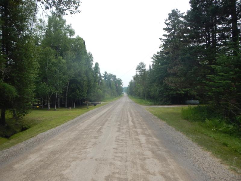
Road Approach - Left
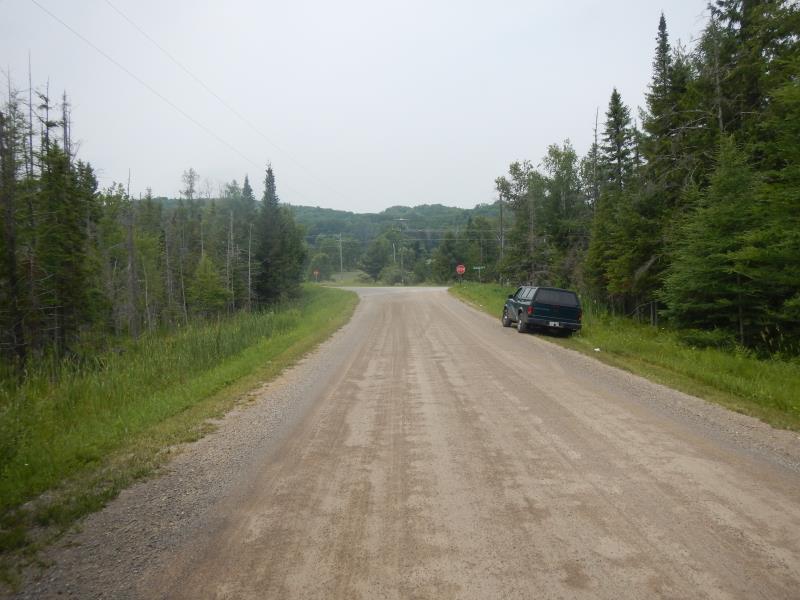
Road Approach - Right
Crossing Information
Type of Crossing: culvert(s)
Number of Structures: 2
Structure Shape: Round
Inlet Type: Projecting
Outlet Type: At Stream Grade
Structure Material: Metal
Structure Substrate: Sand
General Conditions: Good
Multiple Culverts/Spans | ||||
Culvert/Span | Width | Length | Height | Material |
1 |
5.5 ft. |
50 ft. |
4.25 ft. |
Metal |
2 |
5 ft. |
40 ft. |
3.92 ft. |
Metal |
Structure Interior: corrugated
Dimensions of Structure: Length 50 ft.
, Width 5.5 ft.
, Height 4.25 ft.
Structure Inlet
Water Depth: 1.5 ft.
Water Velocity*: 1.25 ft./sec.
Structure Outlet
Water Depth: 1.08 ft.
Water Velocity*: 2.5 ft./sec.
*Water Velocities were measured 0.9 ft. below Surface
(with Meter)
Stream Information
Stream Flow: Less than 1/2 Bankfull
Riffle Information
Water Depth: 2.15 ft.
Bankfull Width: 9.5 ft.
Wetted Width: 9.5 ft.
Water Velocity: 0.98 ft./sec.
(Measured with Meter)
Dominant Substrate: Sand
Road Information
Gravel
County Road
Road Condition: Good
Road Width at Culvert: 24 ft.
Location of Low Point: At Stream
Runoff Path: Roadway
Embankments
Upstream
Fill Depth: 3 ft.
Slope: 1:1.5
Downstream
Fill Depth: 3 ft.
Slope: 1:1.5
Approaches
Left Approach
Length: 1000 ft.
Slope: 1% to 5%
Vegetation: Partial
LS Factor: 0.8
Erosion: 5.2893 tons/year
Right Approach
Length: 100 ft.
Slope: 1% to 5%
Vegetation: Partial
LS Factor: 0.39
Erosion: 0.2579 tons/year
Erosion Information
Total Erosion at Crossing: 5.5471 tons/year
Summary Information
Fish Passability 0.5
�