Road Stream Crossing Site Boyne_RR-02
Lake Charlevoix Watershed, Boyne River North Branch
RR south of Skop Road
Charlevoix County
Information collected by:
Site Location
GPS Coordinates: 45.1800880848473
, -84.9137115777228
Fish Passability 0
Total Erosion: 0.0069 tons/year
Severity: Severe
Year Inventoried: 2015
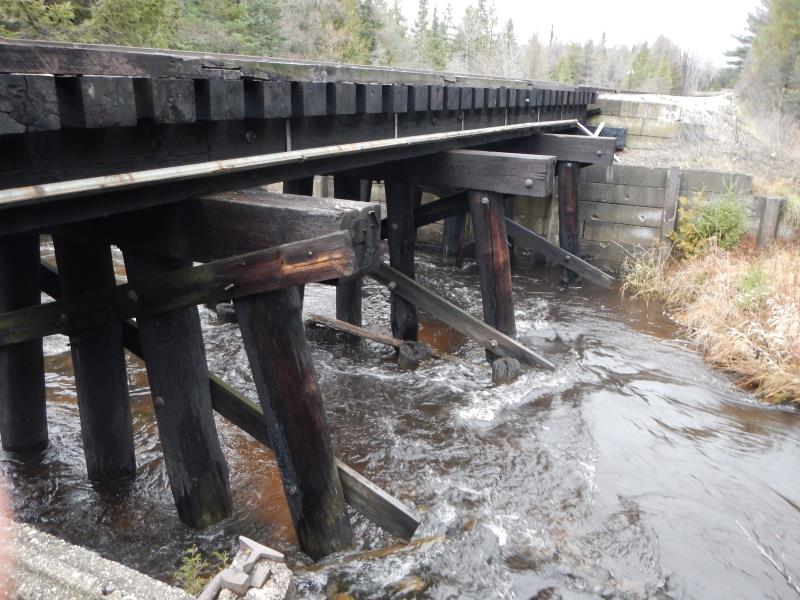
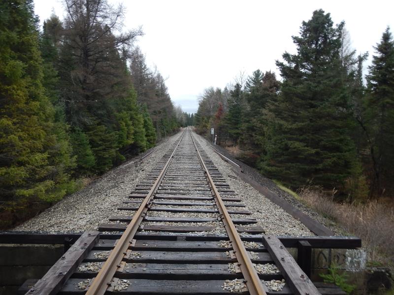
Inlet
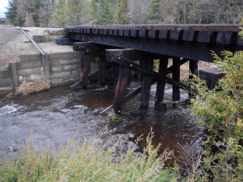
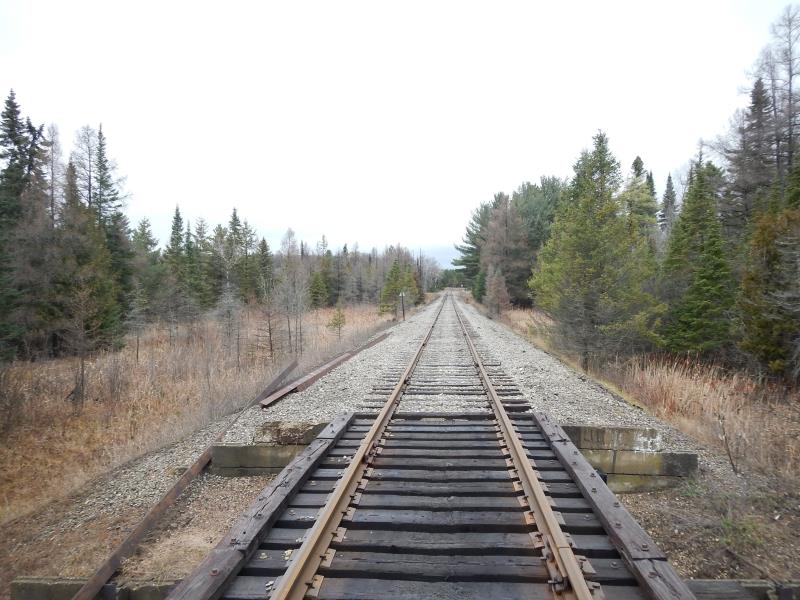
Outlet
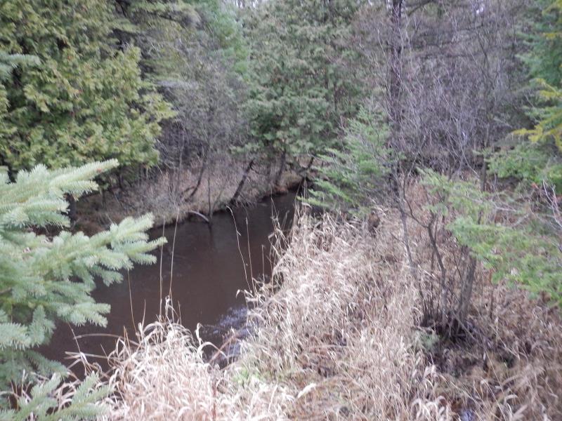
Upstream Conditions
Downstream Conditions
Road Approach - Left
Road Approach - Right
Crossing Information
Type of Crossing: Bridge
Structure Shape: Square/Rectangle
Inlet Type: Other
Outlet Type: Other
Structure Material: Wood
Structure Substrate: Mixture
General Conditions: Good
Dimensions of Structure: Length 10 ft.
, Width 32 ft.
, Height 11 ft.
Structure Inlet
Water Depth: 0.8 ft.
Embedded Depth of Structure: 0 ft.
Water Velocity*: 3.6 ft./sec.
Structure Outlet
Water Depth: 1.05 ft.
Embedded Depth of Structure: 0 ft.
Water Velocity*: 1.47 ft./sec.
*Water Velocities were measured 0.6 ft. below Surface
(with Meter)
Additional Comments
adjacent landowner unknown; ROW
Stream Information
Stream Flow: Less than 1/2 Bankfull
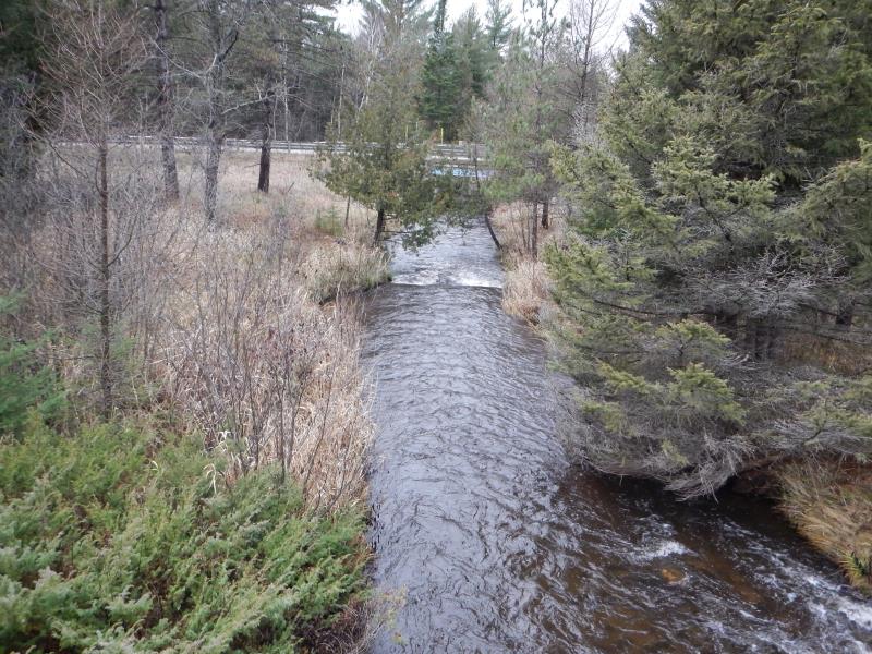
Riffle Information
Water Depth: 1 ft.
Bankfull Width: 18 ft.
Wetted Width: 16.17 ft.
Water Velocity: 1.2 ft./sec.
(Measured with Meter)
Dominant Substrate: Cobble
Road Information
Gravel
Other Road
Road Condition: Good
Road Width at Culvert: 10 ft.
Location of Low Point: Other
Runoff Path: Ditch
Fill Depth: 0 ft.
Fill Depth: 0 ft.
Approaches
Left Approach
Length: 25 ft.
Slope: Less Than 1%
Vegetation: Partial
LS Factor: 0.05
Erosion: 0.0034 tons/year
Right Approach
Length: 25 ft.
Slope: Less Than 1%
Vegetation: Partial
LS Factor: 0.05
Erosion: 0.0034 tons/year
Erosion Information
Total Erosion at Crossing: 0.0069 tons/year
Notes: n/a
Summary Information
Fish Passability 0
A future visit to this site is recommended. widening of channel at bridge�monitor situation
These non-native species were observerd at this site: spotted knapweed
�