Road Stream Crossing Site Boyne_RR-03
Lake Charlevoix Watershed, Unnamed tributary to Moyer Creek
RR south of Metros Road
Charlevoix County
Information collected by:
Site Location
GPS Coordinates: 45.1446675165853
, -84.9099086681159
Fish Passability 0
Perch Height: 3 ft.
Total Erosion: 0.0769 tons/year
Severity: Severe
Year Inventoried: 2015
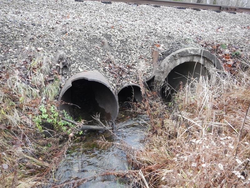
Inlet
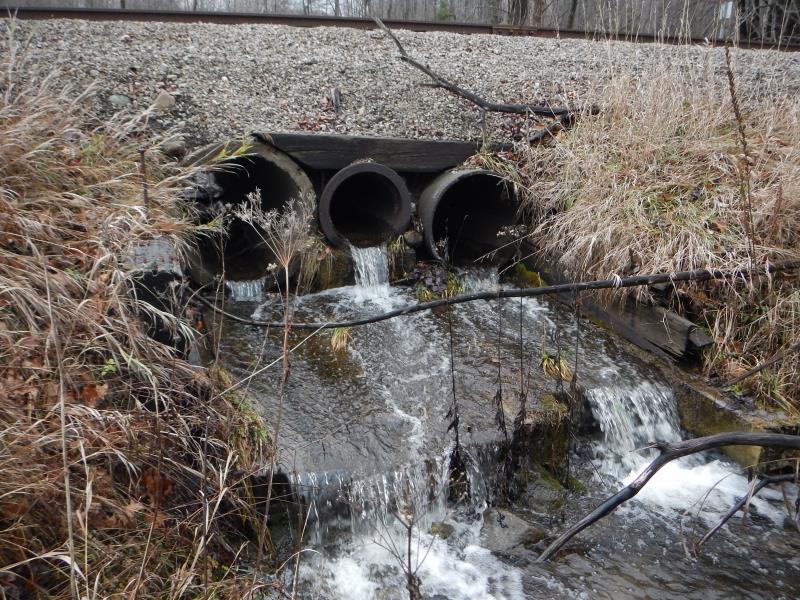
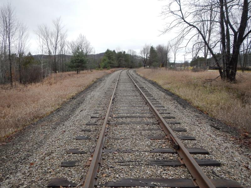
Outlet
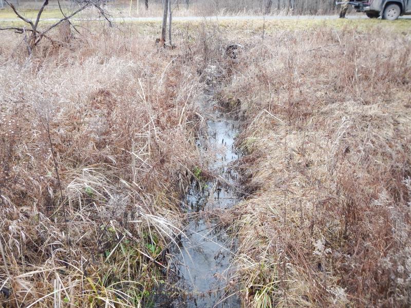
Upstream Conditions
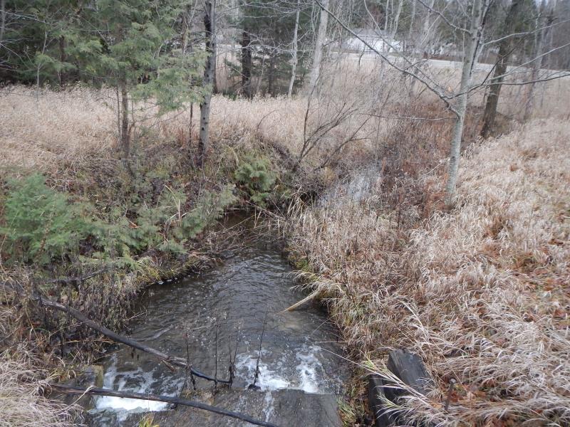
Downstream Conditions
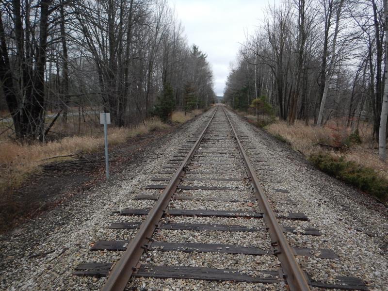
Road Approach - Left
Road Approach - Right
Crossing Information
Type of Crossing: culvert(s)
Number of Structures: 3
Structure Shape: Round
Inlet Type: Projecting
Outlet Type: Freefall into Pool
Structure Material: Metal
Structure Substrate: None
General Conditions: Fair
Multiple Culverts/Spans | ||||
Culvert/Span | Width | Length | Height | Material |
1 |
2.58 ft. |
26 ft. |
2.58 ft. |
Metal |
2 |
1.67 ft. |
26 ft. |
1.67 ft. |
Metal |
3 |
3 ft. |
26 ft. |
3 ft. |
Concrete |
Structure Interior: smooth
Dimensions of Structure: Length 36 ft.
, Width 2.58 ft.
, Height 2.58 ft.
Perch Height: 3 ft.
Structure Inlet
Water Depth: 0.4 ft.
Water Velocity*: 2.3 ft./sec.
Structure Outlet
Water Depth: 0.3 ft.
Water Velocity*: 2.28 ft./sec.
*Water Velocities were measured 0.2 ft. below Surface
(with Meter)
Additional Comments
ROW
Stream Information
Stream Flow: Less than 1/2 Bankfull
Scour Pool: Length 10 ft.
, Width 10 ft.
, Depth 1.5 ft.
Riffle Information
Water Depth: 0.68 ft.
Bankfull Width: 7 ft.
Wetted Width: 5.33 ft.
Water Velocity: 0.29 ft./sec.
(Measured with Meter)
Dominant Substrate: Gravel
Road Information
Gravel
Other Road
Road Condition: Fair
Road Width at Culvert: 10 ft.
Location of Low Point: Other
Runoff Path: Ditch
Embankments
Upstream
Fill Depth: 2 ft.
Slope: 1:1.5
Downstream
Fill Depth: 1.5 ft.
Slope: 1:1.5
Approaches
Left Approach
Length: 25 ft.
Slope: Less Than 1%
Vegetation: Heavy
LS Factor: 0.05
Erosion: 0.0034 tons/year
Right Approach
Length: 25 ft.
Slope: Less Than 1%
Vegetation: Heavy
LS Factor: 0.05
Erosion: 0.0034 tons/year
Erosion Information
Total Erosion at Crossing: 0.0769 tons/year
Extent of Erosion: Moderate
Notes: RR gravel going into stream. No veg between.
Location of Erosion | Erosion Dimensions | Eroded Material | Material Eroded | Total Erosion | ||
facing downstream | Length | Width | Depth | Reaching Stream? | (tons/year) | |
Right Downstream Streambank |
10 ft. |
5 ft. |
1 ft. |
yes |
Gravel |
0.07 |
Summary Information
Fish Passability 0
Fish Passage is an area of concern for this site.
Given fish dwell in stream
These non-native species were observerd at this site: canary grass
�