Road Stream Crossing Site Boyne_RR-04
Lake Charlevoix Watershed, Unnamed tributary to Moyer Creek
RR south of Sheriff Road
Charlevoix County
Information collected by:
Site Location
GPS Coordinates: 45.1368137677603
, -84.8956947897348
Fish Passability 0.9
Total Erosion: 2.6069 tons/year
Severity: Severe
Year Inventoried: 2015
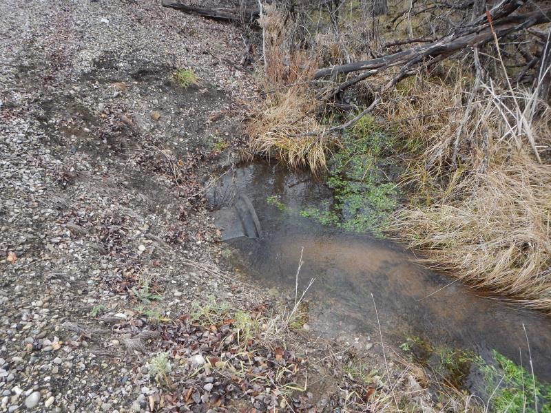
Inlet
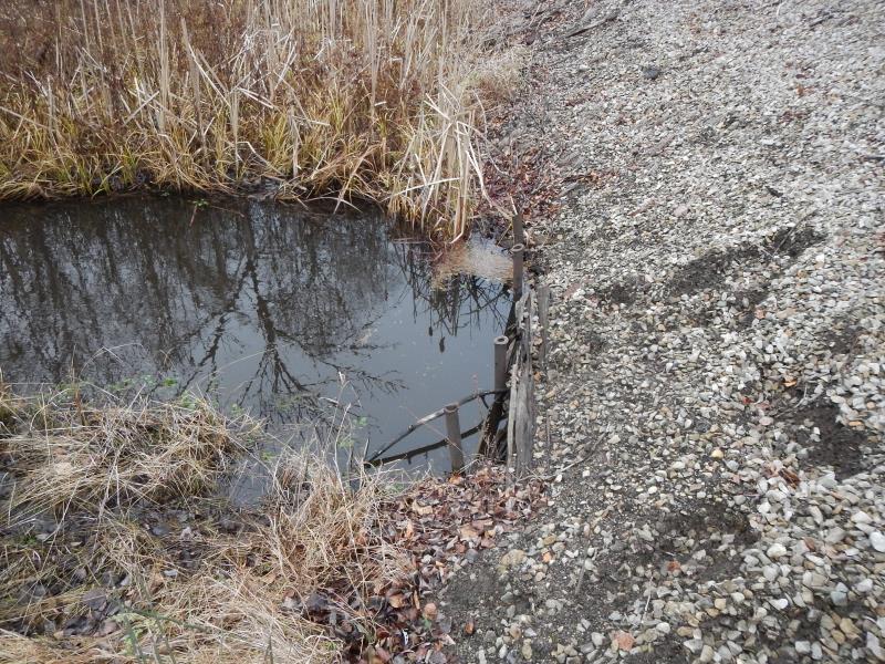
Outlet
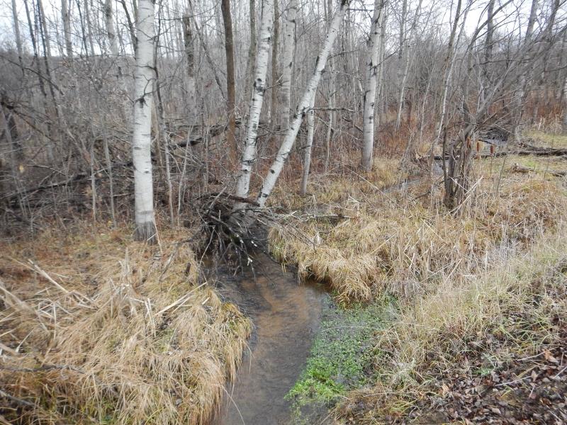
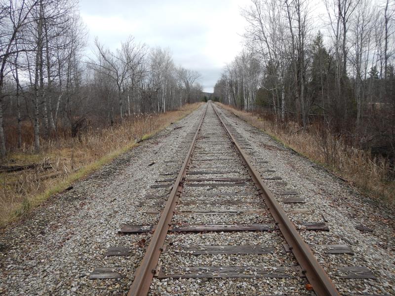
Upstream Conditions
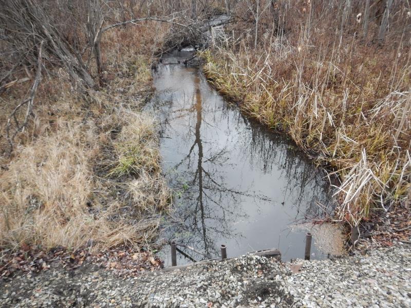
Downstream Conditions
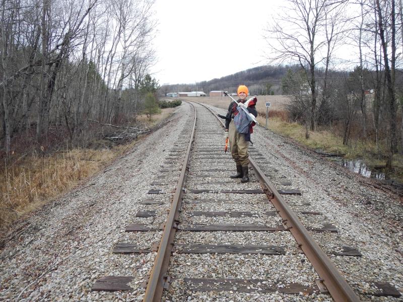
Road Approach - Left
Road Approach - Right
Crossing Information
Type of Crossing: culvert(s)
Number of Structures: 1
Structure Shape: Round
Inlet Type: Projecting
Outlet Type: Other
Structure Material: Concrete
Structure Substrate: Sand
General Conditions: Fair
Structure Interior: smooth
Dimensions of Structure: Length 26 ft.
, Width 2 ft.
, Height 2 ft.
Structure Inlet
Water Depth: 1.8 ft.
Embedded Depth of Structure: 0.1 ft.
Water Velocity*: 0.74 ft./sec.
Structure Outlet
Water Depth: 2.4 ft.
Embedded Depth of Structure: 0.1 ft.
Water Velocity*: 0.57 ft./sec.
*Water Velocities were measured 1 ft. below Surface
(with Meter)
Additional Comments
ROW; private. Outlet submerged.
Stream Information
Stream Flow: Less than Bankfull
Scour Pool: Length 12 ft.
, Width 9 ft.
Upstream Pond: Length 8 ft.
, Width 8 ft.
Riffle Information
Water Depth: 0.53 ft.
Bankfull Width: 5.5 ft.
Wetted Width: 4 ft.
Water Velocity: 0.8 ft./sec.
(Measured with Meter)
Dominant Substrate: Sand
Road Information
Gravel
Other Road
Road Condition: Fair
Road Width at Culvert: 10 ft.
Location of Low Point: At Stream
Runoff Path: Ditch
Embankments
Upstream
Fill Depth: 4.58 ft.
Slope: 1:1.5
Downstream
Fill Depth: 4.75 ft.
Slope: 1:1.5
Approaches
Left Approach
Length: 25 ft.
Slope: Less Than 1%
Vegetation: Heavy
LS Factor: 0.05
Erosion: 0.0034 tons/year
Right Approach
Length: 25 ft.
Slope: Less Than 1%
Vegetation: Heavy
LS Factor: 0.05
Erosion: 0.0034 tons/year
Erosion Information
Total Erosion at Crossing: 2.6069 tons/year
Extent of Erosion: Severe
Erosion is occurring and corrective actions can be installed to address the problem.
Notes: Stream eating away to RR gravel creating depressions in bank.
Location of Erosion | Erosion Dimensions | Eroded Material | Material Eroded | Total Erosion | ||
facing downstream | Length | Width | Depth | Reaching Stream? | (tons/year) | |
Right Upstream Embankment |
20 ft. |
10 ft. |
5 ft. |
yes |
Gravel |
2 |
Right Downstream Embankment |
15 ft. |
4 ft. |
2 ft. |
yes |
Gravel |
0.6 |
Summary Information
Fish Passability 0.9
Erosion is an area of concern for this site.
A future visit to this site is recommended. Monitor erosion
�