Road Stream Crossing Site Boyne_RR-05
Lake Charlevoix Watershed, Unnamed tributary to Moyer Creek
RR 2nd site south of Sheriff Road
Charlevoix County
Information collected by:
Site Location
GPS Coordinates: 45.1347829446112
, -84.8938332820982
Fish Passability 0
Perch Height: 3 ft.
Total Erosion: 0.0069 tons/year
Severity: Severe
Year Inventoried: 2015
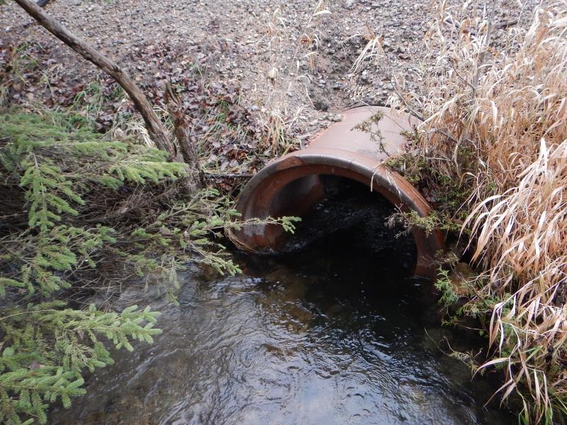
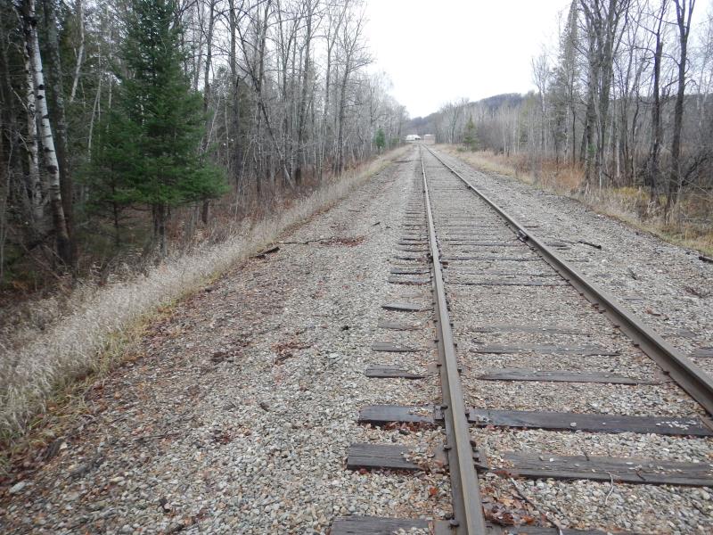
Inlet
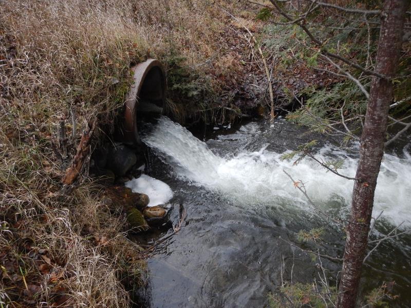
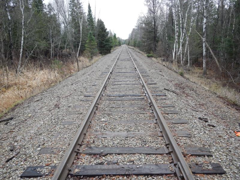
Outlet
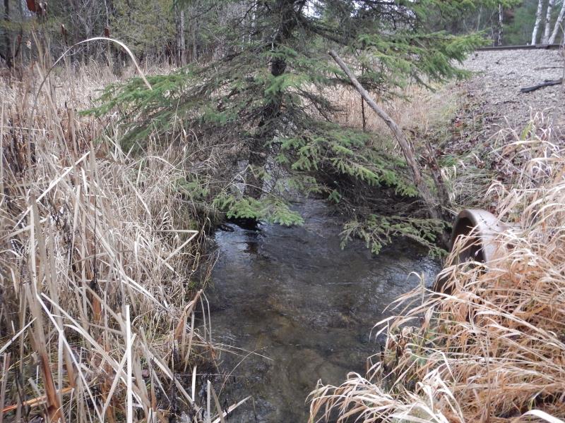
Upstream Conditions
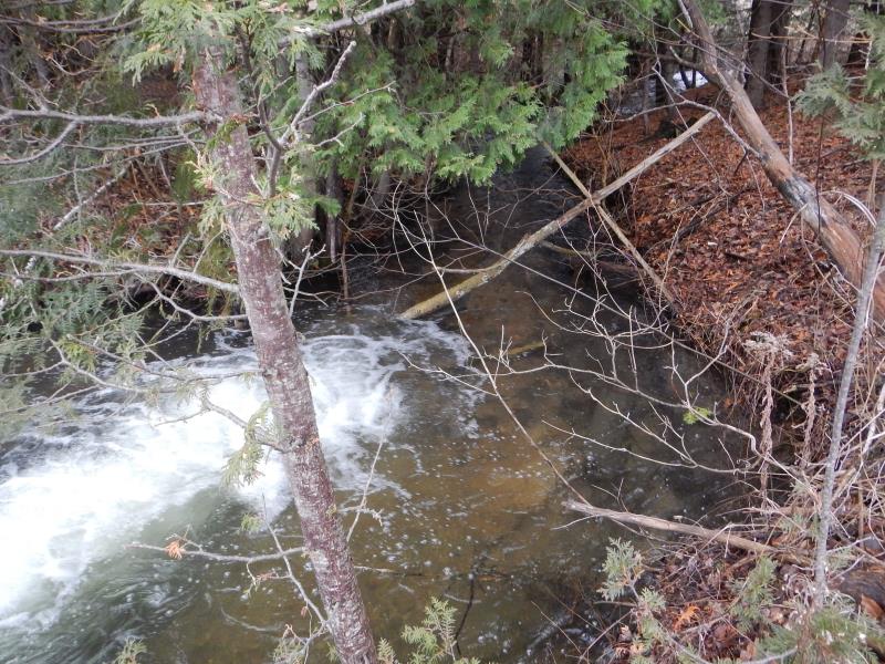
Downstream Conditions
Road Approach - Left
Road Approach - Right
Crossing Information
Type of Crossing: culvert(s)
Number of Structures: 1
Structure Shape: Round
Inlet Type: Projecting
Outlet Type: Freefall into Pool
Structure Material: Metal
Structure Substrate: Sand
General Conditions: Poor
Structure Interior: smooth
Dimensions of Structure: Length 34.5 ft.
, Width 3 ft.
, Height 3 ft.
Perch Height: 3 ft.
Structure Inlet
Water Depth: 1.1 ft.
Embedded Depth of Structure: 0.1 ft.
Water Velocity*: 1.88 ft./sec.
Structure Outlet
Water Depth: 0.6 ft.
Embedded Depth of Structure: 0 ft.
Water Velocity*: 8.1 ft./sec.
*Water Velocities were measured 0.6 ft. below Surface
(with Meter)
Additional Comments
ROW; private. Metal / concrete
Stream Information
Stream Flow: Less than 1/2 Bankfull
Scour Pool: Length 25 ft.
, Width 25 ft.
, Depth 3.8 ft.
Riffle Information
Water Depth: 0.56 ft.
Bankfull Width: 10 ft.
Wetted Width: 8.33 ft.
Water Velocity: 1.12 ft./sec.
(Measured with Meter)
Dominant Substrate: Gravel
Road Information
Gravel
Other Road
Road Condition: Fair
Road Width at Culvert: 10 ft.
Location of Low Point: Other
Runoff Path: Ditch
Embankments
Upstream
Fill Depth: 3.25 ft.
Slope: More than 1:2
Downstream
Fill Depth: 4.25 ft.
Slope: More than 1:2
Approaches
Left Approach
Length: 25 ft.
Slope: Less Than 1%
Vegetation: Partial
LS Factor: 0.05
Erosion: 0.0034 tons/year
Right Approach
Length: 25 ft.
Slope: Less Than 1%
Vegetation: Partial
LS Factor: 0.05
Erosion: 0.0034 tons/year
Erosion Information
Total Erosion at Crossing: 0.0069 tons/year
Location of Erosion | Erosion Dimensions | Eroded Material | Material Eroded | Total Erosion | ||
facing downstream | Length | Width | Depth | Reaching Stream? | (tons/year) | |
Right Upstream Embankment |
15 ft. |
5 ft. |
2 ft. |
yes |
Gravel |
|
Summary Information
Fish Passability 0
Fish Passage is an area of concern for this site.
Fish passage and erosion. Nice stream; total barrier w/ RR material eroding.
A future visit to this site is recommended. Upstream culvert extension failing w/ 5" gap sucking RR gravel
These non-native species were observerd at this site: canary grass
�