Road Stream Crossing Site Boyne_WA-10
Lake Charlevoix Watershed, Boyne River South Branch
US-131
Antrim County
Information collected by:
Site Location
GPS Coordinates: 45.1047714566327
, -84.8878436993665
Fish Passability 0
Perch Height: 0.5 ft.
Total Erosion: 1.1372 tons/year
Severity: Severe
Year Inventoried: 2015
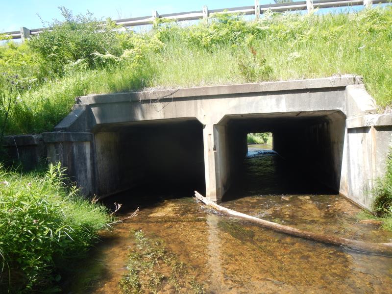
Inlet
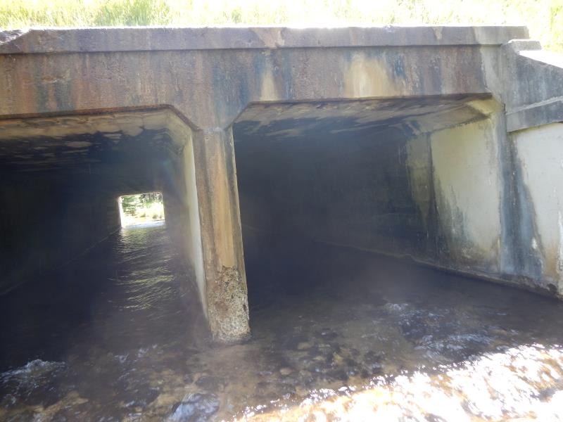
Outlet
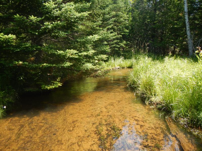
Upstream Conditions
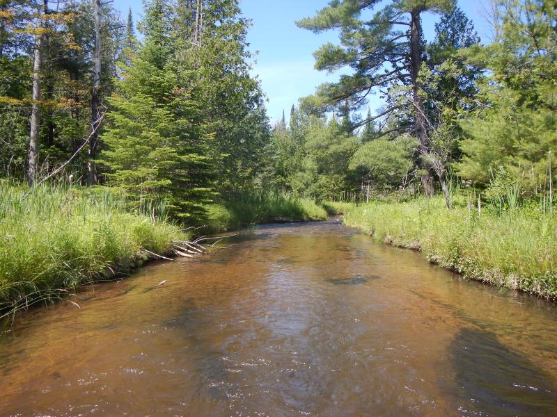
Downstream Conditions
Crossing Information
Type of Crossing: Bridge
Structure Material: Concrete
Structure Substrate: None
General Conditions: Good
Dimensions of Structure: Length 90 ft.
, Width 18 ft.
, Height 6 ft.
Perch Height: 0.5 ft.
Structure Inlet
Water Depth: 0.55 ft.
Water Velocity*: 2.45 ft./sec.
Structure Outlet
Water Depth: 0.4 ft.
Water Velocity*: 3 ft./sec.
*Water Velocities were measured 0.33 ft. below Surface
(with Meter)
Additional Comments
bridge with concrete bottom, divider in center
Stream Information
Stream Flow: Less than Bankfull
Riffle Information
Water Depth: 1.25 ft.
Bankfull Width: 21.5 ft.
Wetted Width: 21 ft.
Water Velocity: 1.1 ft./sec.
(Measured with Meter)
Dominant Substrate: Sand
Road Information
Paved
State Road
Road Condition: Good
Road Width at Culvert: 40 ft.
Location of Low Point: At Stream
Runoff Path: Roadway
Fill Depth: 12 ft.
Slope: 1:1.5
Approaches
Left Approach
Length: 1000 ft.
Slope: 1% to 5%
Vegetation: Partial
LS Factor: 0.8
Erosion: 1.0579 tons/year
Right Approach
Length: 1000 ft.
Slope: Less Than 1%
Vegetation: Partial
LS Factor: 0.06
Erosion: 0.0793 tons/year
Erosion Information
Total Erosion at Crossing: 1.1372 tons/year
Summary Information
Fish Passability 0
�