Road Stream Crossing Site Jordan_CHX-10
Lake Charlevoix Watershed, Green River
Penny Bridge Road
Antrim County
Information collected by:
Site Location
GPS Coordinates: 45.0110638782285
, -85.0592548058619
Structure is NOT Perched
Total Erosion: 2.0176 tons/year
Severity: Minor
Year Inventoried: 2015
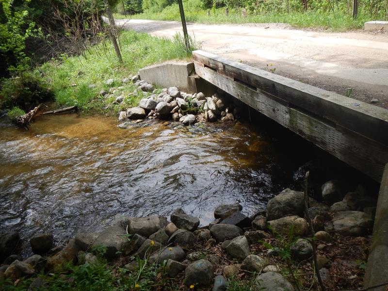
Inlet
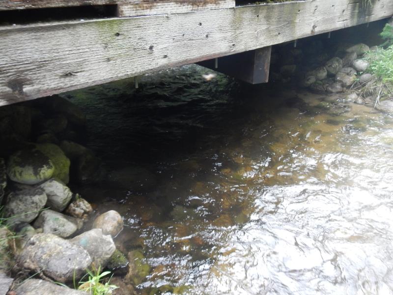
Outlet
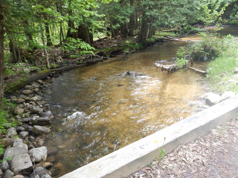
Upstream Conditions
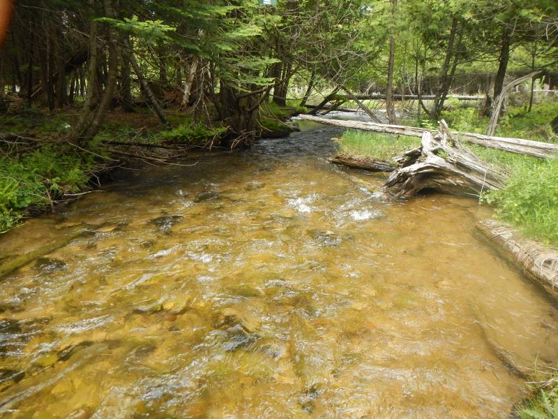
Downstream Conditions
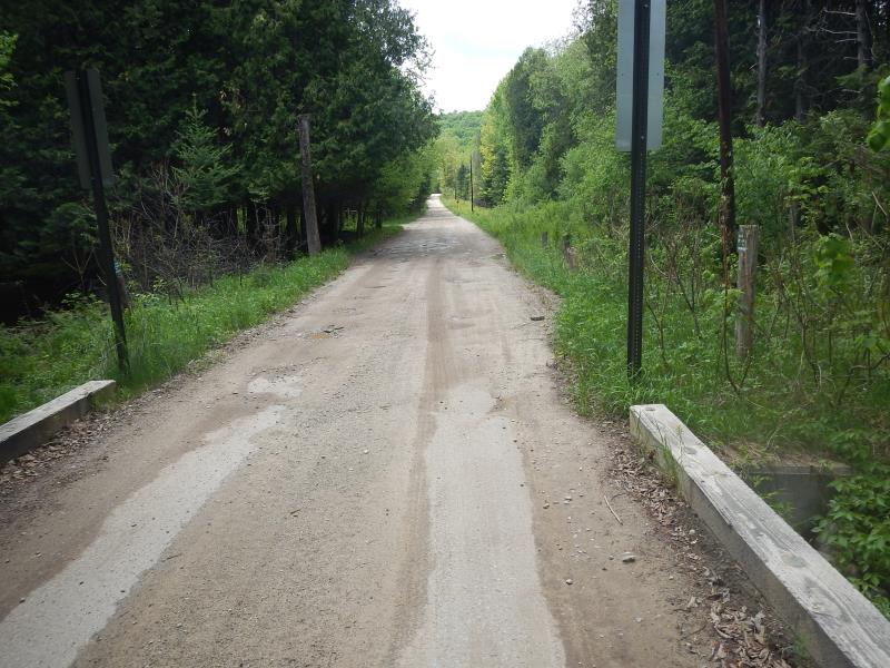
Road Approach - Left
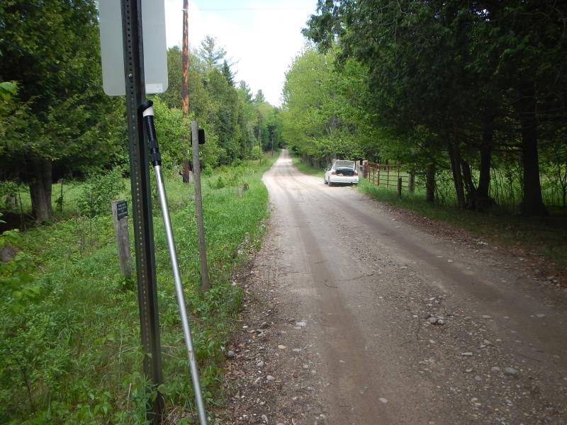
Road Approach - Right
Crossing Information
Type of Crossing: Bridge
Structure Shape: Round
Inlet Type: Wingwall 30-70 Degree
Outlet Type: Cascade over Riprap
Structure Material: Wood
Structure Substrate: Gravel
General Conditions: Good
Structure Interior: smooth
Dimensions of Structure: Length 13.5 ft.
, Width 19 ft.
, Height 4.17 ft.
Structure is NOT Perched
Structure Inlet
Water Depth: 1.4 ft.
Embedded Depth of Structure: 0 ft.
Water Velocity*: 3.5 ft./sec.
Structure Outlet
Water Depth: 1.6 ft.
Embedded Depth of Structure: 0 ft.
Water Velocity*: 3.5 ft./sec.
*Water Velocities were measured 0.33 ft. below Surface
(with Meter)
Stream Information
Stream Flow: Less than Bankfull
Scour Pool: Length 0 ft.
, Width 0 ft.
, Depth 0 ft.
Upstream Pond: Length 0 ft.
, Width 0 ft.
, Depth 0 ft.
Riffle Information
Water Depth: 0.78 ft.
Bankfull Width: 16 ft.
Wetted Width: 16 ft.
Water Velocity: 2.5 ft./sec.
(Measured with Meter)
Dominant Substrate: Gravel
Road Information
Gravel
County Road
Road Condition: Fair
Road Width at Culvert: 13.5 ft.
Location of Low Point: At Stream
Runoff Path: Ditch
Slope: Vertical
Slope: Vertical
Approaches
Left Approach
Length: 100 ft.
Slope: Less Than 1%
Vegetation: Partial
LS Factor: 0.06
Erosion: 0.1562 tons/year
Right Approach
Length: 100 ft.
Slope: Less Than 1%
Vegetation: Partial
LS Factor: 0.715
Erosion: 1.8614 tons/year
Erosion Information
Total Erosion at Crossing: 2.0176 tons/year
Extent of Erosion: Moderate
Summary Information
Erosion is an area of concern for this site.
�