Road Stream Crossing Site Jordan_CHX-11
Lake Charlevoix Watershed, Stevens Creek
Pinney Bridge Rd
Antrim County
Information collected by:
Site Location
GPS Coordinates: 45.0113469085465
, -85.0465113551529
Fish Passability 0
Perch Height: 0.5 ft.
Severity: Severe
Year Inventoried: 2015
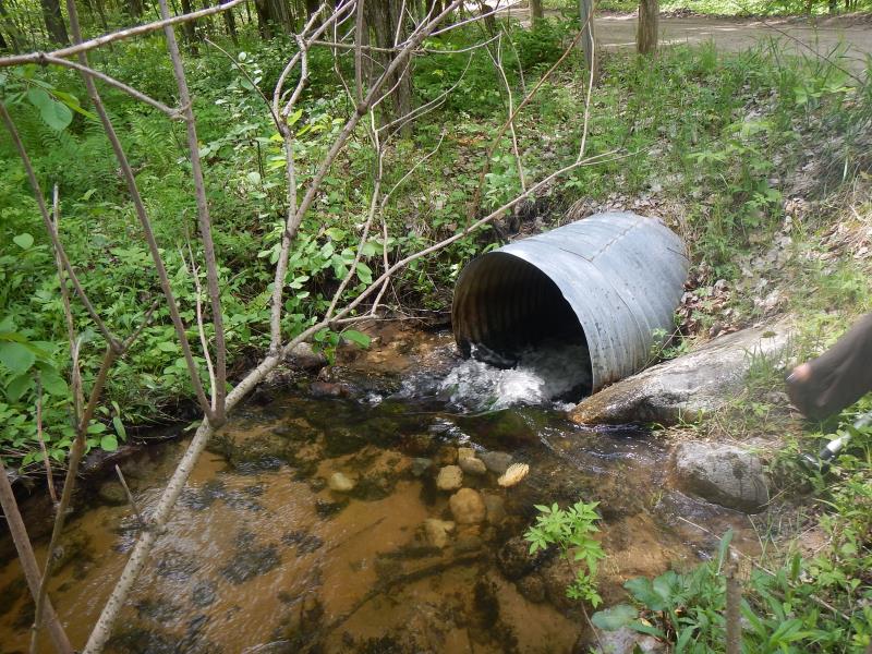
Inlet
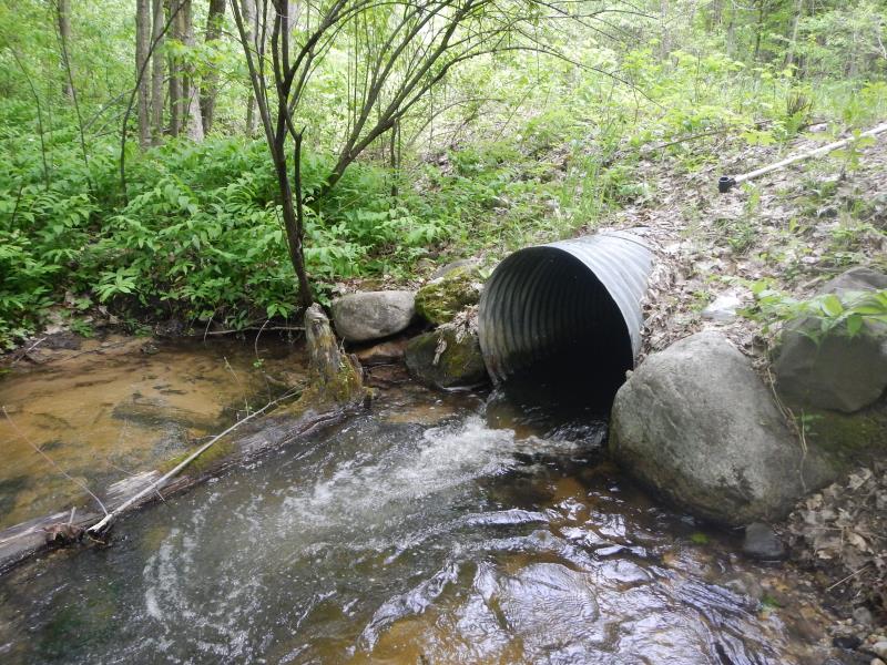
Outlet
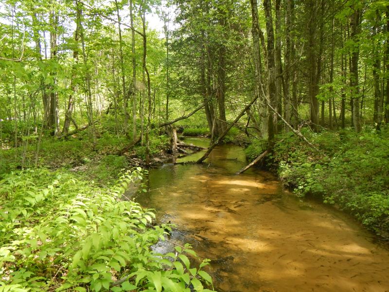
Upstream Conditions
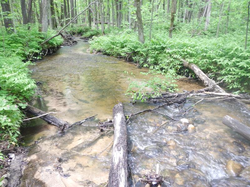
Downstream Conditions
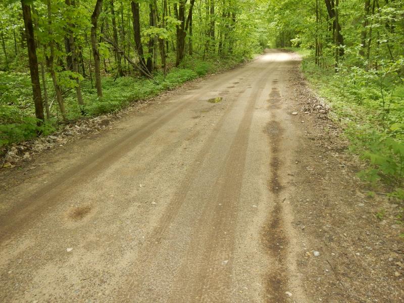
Road Approach - Left
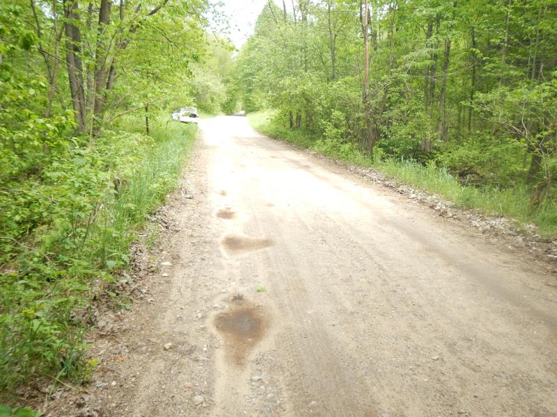
Road Approach - Right
Crossing Information
Type of Crossing: culvert(s)
Number of Structures: 1
Structure Shape: Round
Inlet Type: Projecting
Structure Material: Metal
Structure Substrate: None
General Conditions: Good
Structure Interior: corrugated
Dimensions of Structure: Length 35 ft.
, Width 3 ft.
, Height 3 ft.
Perch Height: 0.5 ft.
Structure Inlet
Water Depth: 0.4 ft.
Embedded Depth of Structure: 0 ft.
Water Velocity*: 4.3 ft./sec.
Structure Outlet
Water Depth: 1.2 ft.
Embedded Depth of Structure: 0 ft.
Water Velocity*: 4.6 ft./sec.
*Water Velocities were measured 0.17 ft. below Surface
(with Meter)
Stream Information
Stream Flow: Less than Bankfull
Scour Pool: Length 10 ft.
, Width 10 ft.
, Depth 1.5 ft.
Upstream Pond: Length 0 ft.
, Width 0 ft.
, Depth 0 ft.
Riffle Information
Water Depth: 0.58 ft.
Bankfull Width: 10.58 ft.
Wetted Width: 9.58 ft.
Water Velocity: 1.4 ft./sec.
(Measured with Meter)
Dominant Substrate: Sand
Road Information
Gravel
County Road
Road Condition: Fair
Road Width at Culvert: 16 ft.
Runoff Path: Roadway
Embankments
Upstream
Fill Depth: 2 ft.
Slope: 1:2
Downstream
Fill Depth: 2 ft.
Slope: 1:2
Length: 300 ft.
Slope: 1% to 5%
Length: 200 ft.
Slope: Less Than 1%
Erosion Information
Notes: none
Summary Information
Fish Passability 0
Fish Passage is an area of concern for this site.
small waterfall difficult for some fish
A future visit to this site is recommended. fish passage
�