Road Stream Crossing Site Jordan_CHX-13
Lake Charlevoix Watershed, Landslide Creek
Jordan River Rd
Antrim County
Information collected by:
Site Location
GPS Coordinates: 45.0123427001319
, -85.023311085349
Fish Passability 1
Structure is NOT Perched
Total Erosion: 0.0882 tons/year
Severity: Minor
Year Inventoried: 2015
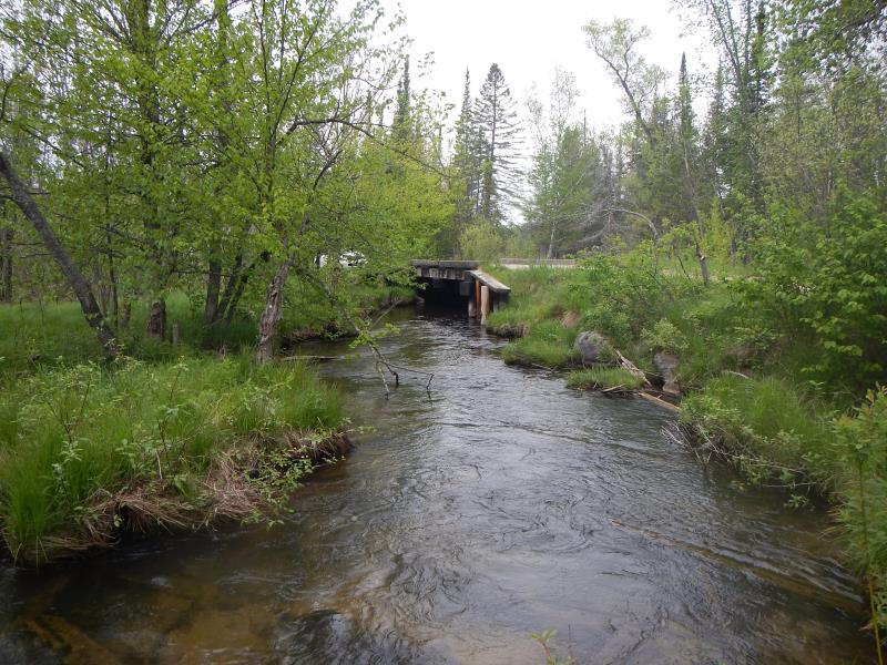
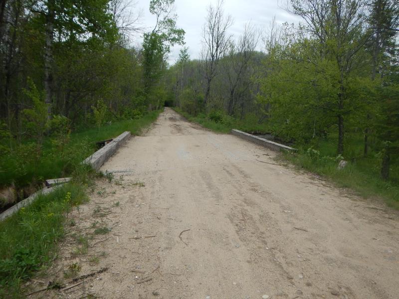
Inlet
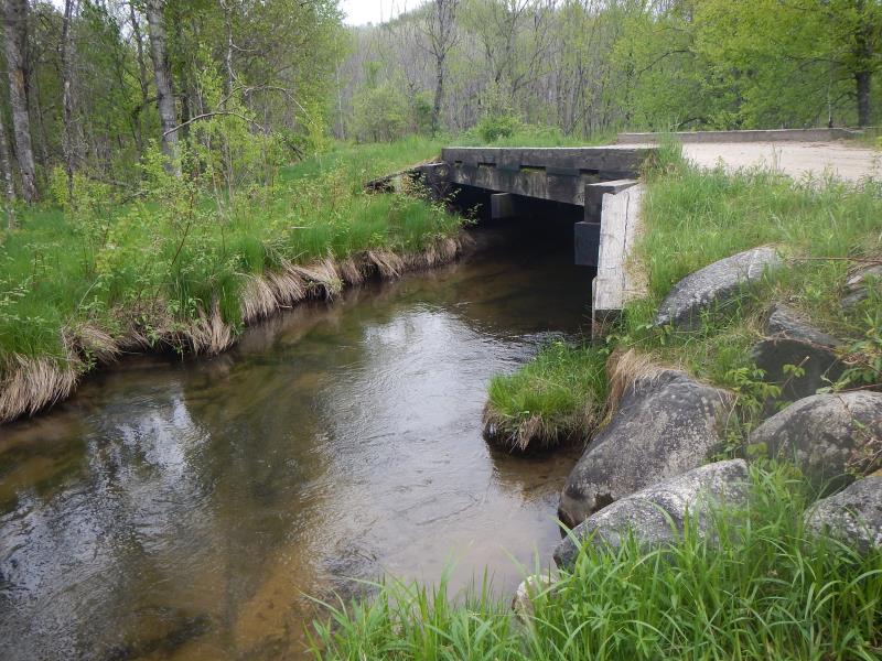
Outlet
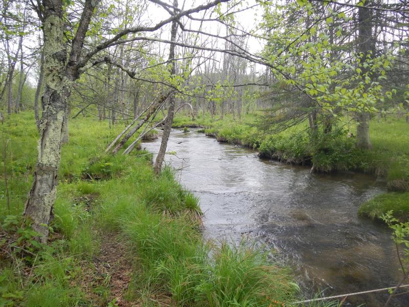
Upstream Conditions
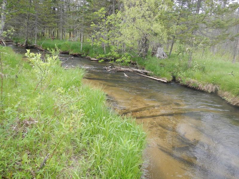
Downstream Conditions
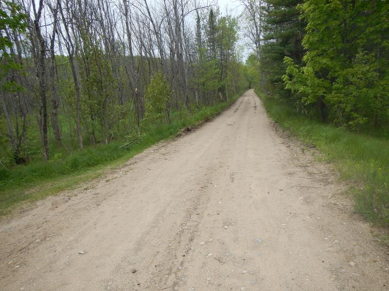
Road Approach - Left
Road Approach - Right
Crossing Information
Type of Crossing: Bridge
Structure Material: Wood
Structure Substrate: Sand
General Conditions: Good
Dimensions of Structure: Length 16 ft.
, Width 21 ft.
, Height 6 ft.
Structure is NOT Perched
Structure Inlet
Water Depth: 1.5 ft.
Embedded Depth of Structure: 0 ft.
Water Velocity*: 1.9 ft./sec.
Structure Outlet
Water Depth: 2.22 ft.
Embedded Depth of Structure: 0 ft.
Water Velocity*: 1.5 ft./sec.
*Water Velocities were measured 1 ft. below Surface
(with Meter)
Stream Information
Stream Flow: Less than 1/2 Bankfull
Scour Pool: Length 0 ft.
, Width 0 ft.
, Depth 0 ft.
Upstream Pond: Length 0 ft.
, Width 0 ft.
, Depth 0 ft.
Riffle Information
Water Depth: 1.55 ft.
Bankfull Width: 10.5 ft.
Wetted Width: 10.5 ft.
Water Velocity: 0.92 ft./sec.
(Measured with Meter)
Dominant Substrate: Sand
Road Information
Gravel
County Road
Road Condition: Fair
Road Width at Culvert: 16 ft.
Location of Low Point: Other
Runoff Path: Roadway
Fill Depth: 0 ft.
Fill Depth: 0 ft.
Approaches
Left Approach
Length: 200 ft.
Slope: Less Than 1%
Vegetation: Partial
LS Factor: 0.05
Erosion: 0.0441 tons/year
Right Approach
Length: 200 ft.
Slope: Less Than 1%
Vegetation: Partial
LS Factor: 0.05
Erosion: 0.0441 tons/year
Erosion Information
Total Erosion at Crossing: 0.0882 tons/year
Notes: none
Summary Information
Fish Passability 1
�