Road Stream Crossing Site Jordan_CHX-7
Lake Charlevoix Watershed, Green River
Green River Rd
Antrim County
Information collected by:
Site Location
GPS Coordinates: 44.9895276502382
, -85.0548202524107
Fish Passability 0
Structure is NOT Perched
Total Erosion: 2.6942 tons/year
Severity: Severe
Year Inventoried: 2015
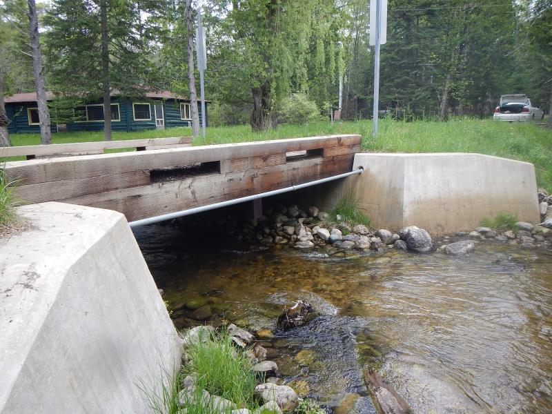
Inlet
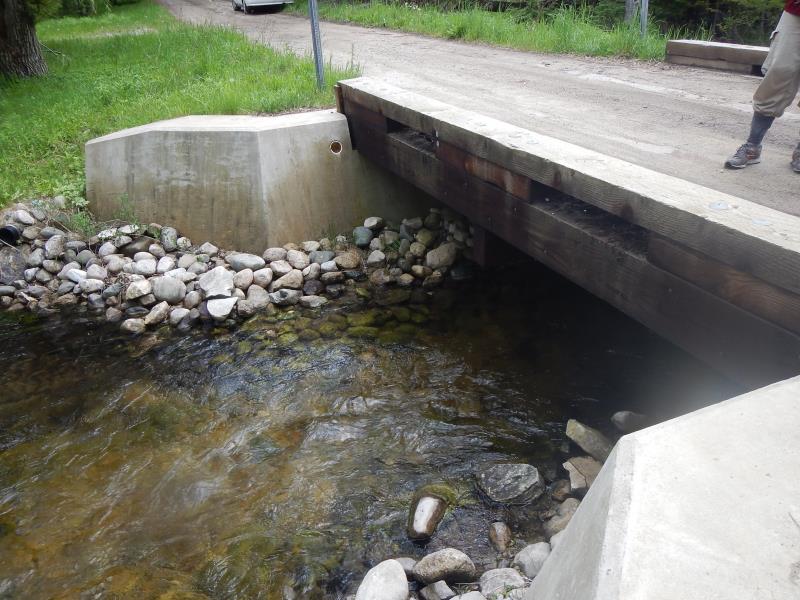
Outlet
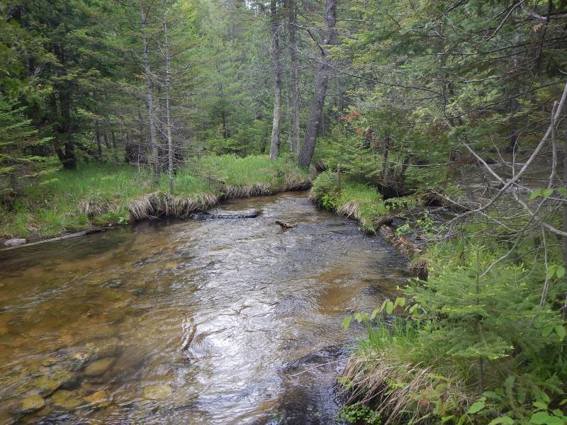
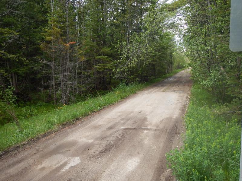
Upstream Conditions
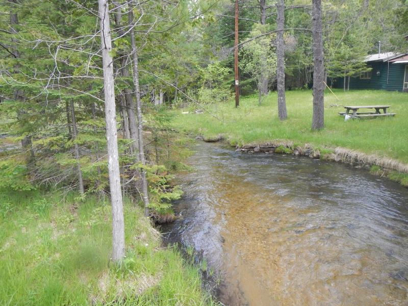
Downstream Conditions
Road Approach - Left
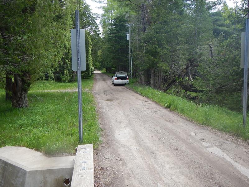
Road Approach - Right
Crossing Information
Type of Crossing: Bridge
Structure Shape: Round
Inlet Type: Projecting
Outlet Type: At Stream Grade
Structure Material: Wood
Structure Substrate: Mixture
General Conditions: Good
Structure Interior: smooth
Dimensions of Structure: Length 14.25 ft.
, Width 18 ft.
, Height 4 ft.
Structure is NOT Perched
Structure Inlet
Water Depth: 1.46 ft.
Embedded Depth of Structure: 0 ft.
Water Velocity*: 4.8 ft./sec.
Structure Outlet
Water Depth: 1.42 ft.
Embedded Depth of Structure: 0 ft.
Water Velocity*: 3.6 ft./sec.
*Water Velocities were measured 0.33 ft. below Surface
(with Meter)
Stream Information
Stream Flow: Less than Bankfull
Scour Pool: Length 0 ft.
, Width 0 ft.
, Depth 0 ft.
Upstream Pond: Length 0 ft.
, Width 0 ft.
, Depth 0 ft.
Riffle Information
Water Depth: 1.44 ft.
Bankfull Width: 18.83 ft.
Wetted Width: 18.83 ft.
Water Velocity: 2.1 ft./sec.
(Measured with Meter)
Dominant Substrate: Gravel
Road Information
Gravel
County Road
Road Condition: Fair
Road Width at Culvert: 12 ft.
Location of Low Point: Other
Runoff Path: Ditch
Fill Depth: 0 ft.
Fill Depth: 0 ft.
Approaches
Left Approach
Length: 300 ft.
Slope: Less Than 1%
Vegetation: Partial
LS Factor: 0.05
Erosion: 0.0496 tons/year
Right Approach
Length: 1000 ft.
Slope: 1% to 5%
Vegetation: Partial
LS Factor: 0.8
Erosion: 2.6446 tons/year
Erosion Information
Total Erosion at Crossing: 2.6942 tons/year
Notes: none
Summary Information
Fish Passability 0
�