Road Stream Crossing Site Jordan_EC-1
Lake Charlevoix Watershed, Bennett Creek
Kidder Road
Antrim County
Information collected by:
Site Location
GPS Coordinates: 45.1068339318934
, -85.1284743515226
Fish Passability 0
Perch Height: 2.5 ft.
Total Erosion: 0.5859 tons/year
Severity: Severe
Year Inventoried: 2015
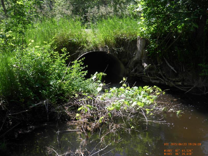
Inlet
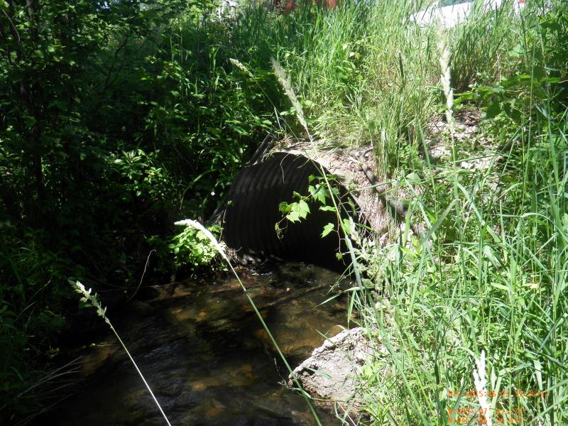
Outlet
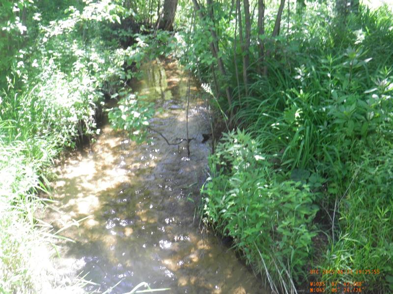
Upstream Conditions
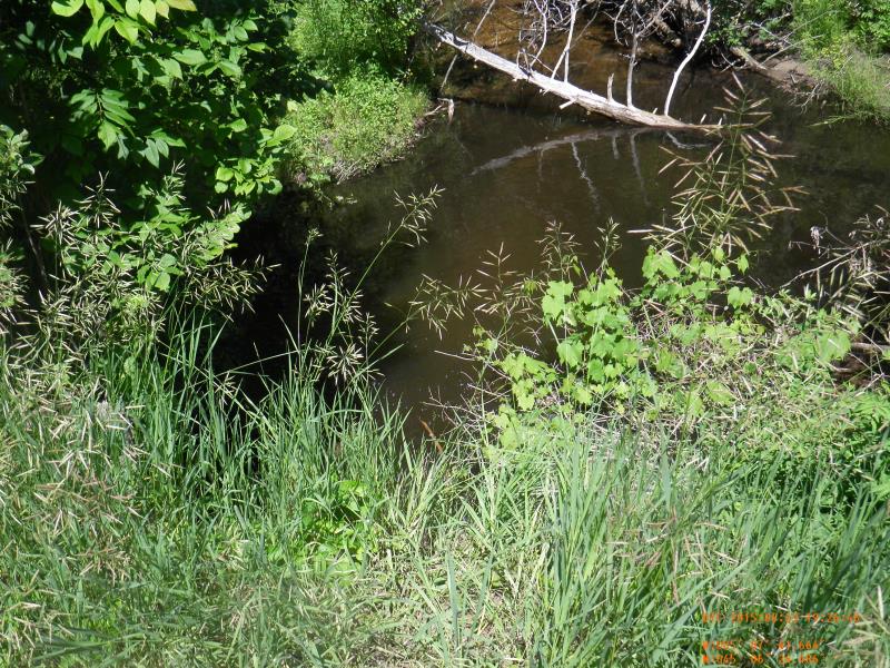
Downstream Conditions
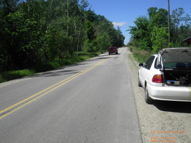
Road Approach - Left
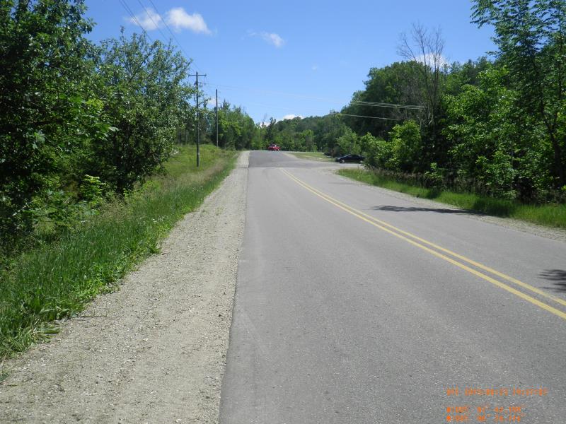
Road Approach - Right
Crossing Information
Type of Crossing: culvert(s)
Number of Structures: 1
Structure Shape: Round
Inlet Type: Projecting
Outlet Type: Freefall into Pool
Structure Material: Concrete
Structure Substrate: Sand
General Conditions: Fair
Structure Interior: smooth
Dimensions of Structure: Length 49 ft.
, Width 6 ft.
, Height 3.8 ft.
Perch Height: 2.5 ft.
Structure Inlet
Water Depth: 0.52 ft.
Embedded Depth of Structure: 0.08 ft.
Water Velocity*: 1.64 ft./sec.
Structure Outlet
Water Depth: 0.25 ft.
Embedded Depth of Structure: 0 ft.
Water Velocity*: 3.28 ft./sec.
*Water Velocities were measured 0.312 ft. below Surface
(with Meter)
Stream Information
Stream Flow: Less than Bankfull
Scour Pool: Length 30 ft.
, Width 25 ft.
, Depth 4 ft.
Riffle Information
Water Depth: 0.68 ft.
Bankfull Width: 7.08 ft.
Wetted Width: 7.08 ft.
Water Velocity: 1.62 ft./sec.
(Measured with Meter)
Dominant Substrate: Sand
Road Information
Paved
County Road
Road Condition: Good
Road Width at Culvert: 34 ft.
Location of Low Point: At Stream
Runoff Path: Ditch
Embankments
Upstream
Fill Depth: 1.25 ft.
Slope: 1:2
Downstream
Fill Depth: 2 ft.
Slope: 1:2
Approaches
Left Approach
Length: 500 ft.
Slope: 1% to 5%
Vegetation: Partial
LS Factor: 0.64
Erosion: 0.3597 tons/year
Right Approach
Length: 350 ft.
Slope: 1% to 5%
Vegetation: Partial
LS Factor: 0.575
Erosion: 0.2262 tons/year
Erosion Information
Total Erosion at Crossing: 0.5859 tons/year
Summary Information
Fish Passability 0
Fish Passage is an area of concern for this site.
waterfall >1'
�