Road Stream Crossing Site Jordan_EC-10
Lake Charlevoix Watershed, Bartholomew Creek
Bartholemew Rd
Antrim County
Information collected by:
Site Location
GPS Coordinates: 45.0944678889353
, -85.114096943097
Fish Passability 0.5
Total Erosion: 0.0171 tons/year
Severity: Moderate
Year Inventoried: 2015
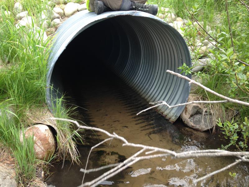
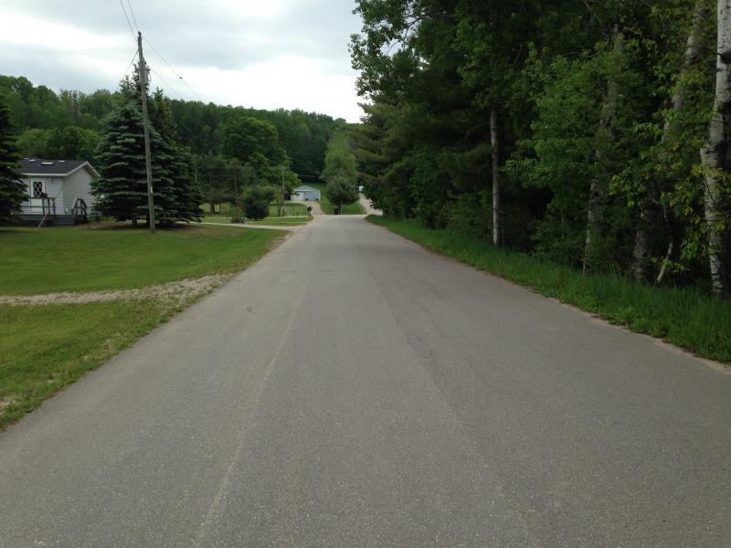
Inlet
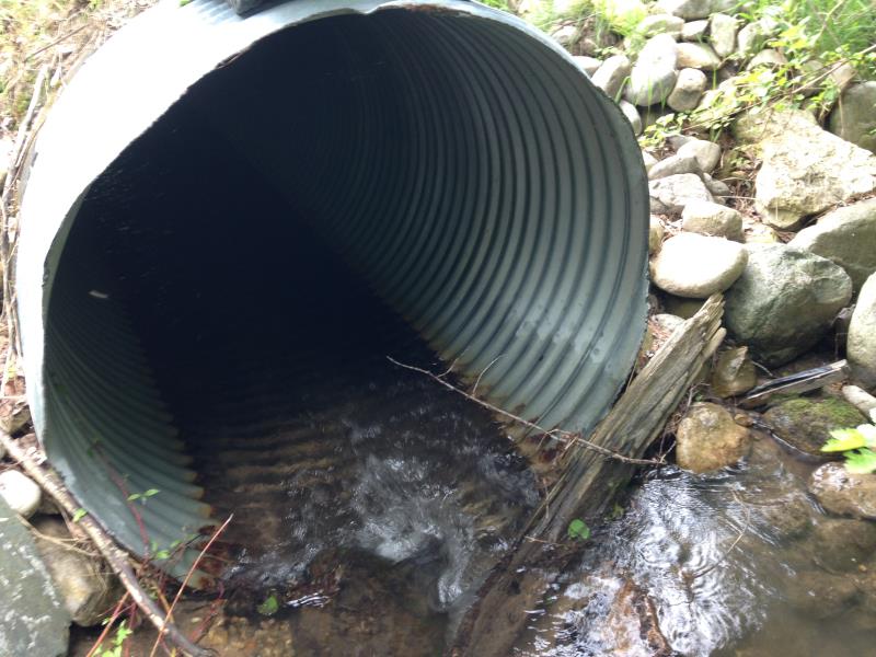
Outlet
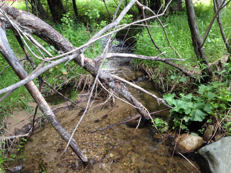
Upstream Conditions
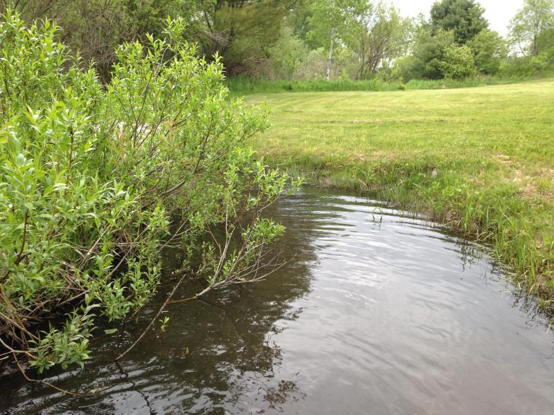
Downstream Conditions
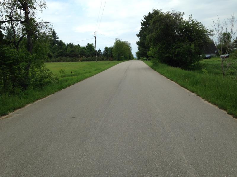
Road Approach - Left
Road Approach - Right
Crossing Information
Type of Crossing: culvert(s)
Structure Shape: Round
Inlet Type: Projecting
Structure Material: Metal
Structure Substrate: None
General Conditions: Good
Structure Interior: corrugated
Dimensions of Structure: Length 58 ft.
, Width 4.5 ft.
, Height 4.5 ft.
Structure Inlet
Water Depth: 0.4 ft.
Embedded Depth of Structure: 0 ft.
Water Velocity*: 2.2 ft./sec.
Structure Outlet
Water Depth: 0.6 ft.
Embedded Depth of Structure: 0.08 ft.
Water Velocity*: 0.7 ft./sec.
(with Meter)
Scour Pool: Length 0 ft.
, Width 0 ft.
, Depth 0 ft.
Upstream Pond: Length 0 ft.
, Width 0 ft.
, Depth 0 ft.
Riffle Information
Water Depth: 1.02 ft.
Bankfull Width: 9.5 ft.
Wetted Width: 9 ft.
Water Velocity: 0.5 ft./sec.
(Measured with Meter)
Dominant Substrate: Sand
Road Information
Paved
County Road
Road Condition: Good
Road Width at Culvert: 28 ft.
Embankments
Upstream
Fill Depth: 3 ft.
Slope: 1:2
Downstream
Fill Depth: 4 ft.
Slope: 1:2
Approaches
Left Approach
Length: 50 ft.
Slope: 1% to 5%
Vegetation: Partial
LS Factor: 0.32
Erosion: 0.0148 tons/year
Right Approach
Length: 50 ft.
Slope: Less Than 1%
Vegetation: Partial
LS Factor: 0.05
Erosion: 0.0023 tons/year
Erosion Information
Total Erosion at Crossing: 0.0171 tons/year
Summary Information
Fish Passability 0.5
�