Road Stream Crossing Site Jordan_EC-11
Lake Charlevoix Watershed, Bartholomew Creek
M-66
Antrim County
Information collected by:
Site Location
GPS Coordinates: 45.0978603424153
, -85.1078140220987
Fish Passability 0.5
Total Erosion: 0.0073 tons/year
Severity: Moderate
Year Inventoried: 2015
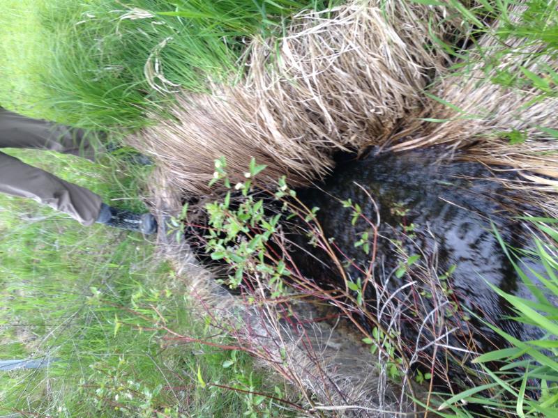
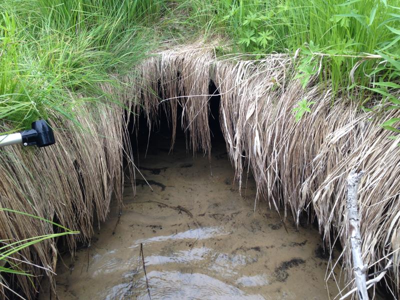
Inlet
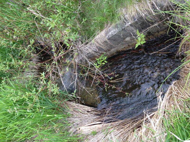
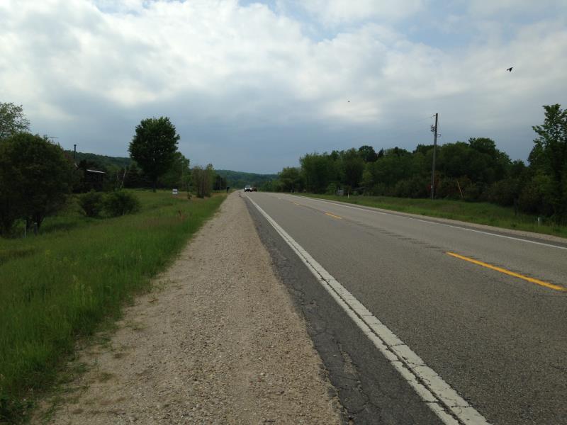
Outlet
Upstream Conditions
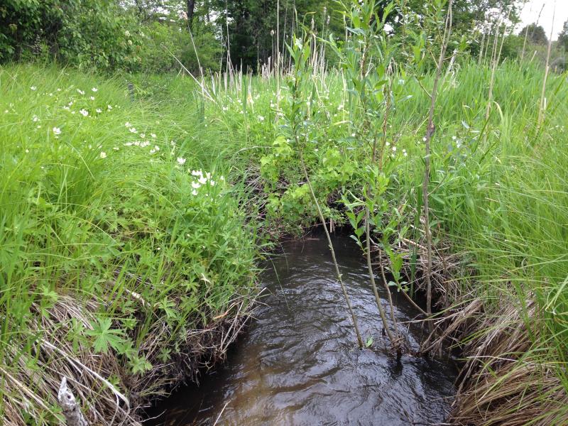
Downstream Conditions
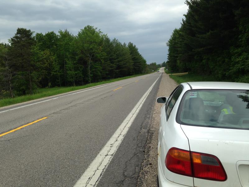
Road Approach - Left
Road Approach - Right
Crossing Information
Type of Crossing: culvert(s)
Number of Structures: 1
Structure Shape: Round
Inlet Type: Apron
Outlet Type: Outlet Apron
Structure Material: Concrete
Structure Substrate: None
General Conditions: Good
Dimensions of Structure: Length 116 ft.
, Width 3 ft.
, Height 2.6 ft.
Structure Inlet
Water Depth: 0.3 ft.
Embedded Depth of Structure: 0 ft.
Water Velocity*: 2.6 ft./sec.
Structure Outlet
Water Depth: 0.6 ft.
Embedded Depth of Structure: 0.25 ft.
Water Velocity*: 0.7 ft./sec.
*Water Velocities were measured 0.08 ft. below Surface
(with Meter)
Stream Information
Stream Flow: Less than Bankfull
Scour Pool: Length 0 ft.
, Width 0 ft.
, Depth 0 ft.
Upstream Pond: Length 0 ft.
, Width 0 ft.
, Depth 0 ft.
Riffle Information
Water Depth: 0.62 ft.
Bankfull Width: 3 ft.
Wetted Width: 2.58 ft.
Water Velocity: 2.3 ft./sec.
(Measured with Meter)
Dominant Substrate: Sand
Road Information
Paved
State Road
Road Condition: Good
Road Width at Culvert: 44 ft.
Location of Low Point: Other
Embankments
Upstream
Fill Depth: 4 ft.
Slope: More than 1:2
Downstream
Fill Depth: 3 ft.
Slope: More than 1:2
Approaches
Left Approach
Length: 50 ft.
Slope: Less Than 1%
Vegetation: Partial
LS Factor: 0.05
Erosion: 0.0036 tons/year
Right Approach
Length: 50 ft.
Slope: Less Than 1%
Vegetation: Heavy
LS Factor: 0.05
Erosion: 0.0036 tons/year
Erosion Information
Total Erosion at Crossing: 0.0073 tons/year
Summary Information
Fish Passability 0.5
�