Road Stream Crossing Site Jordan_EC-4
Lake Charlevoix Watershed, Bennett Creek
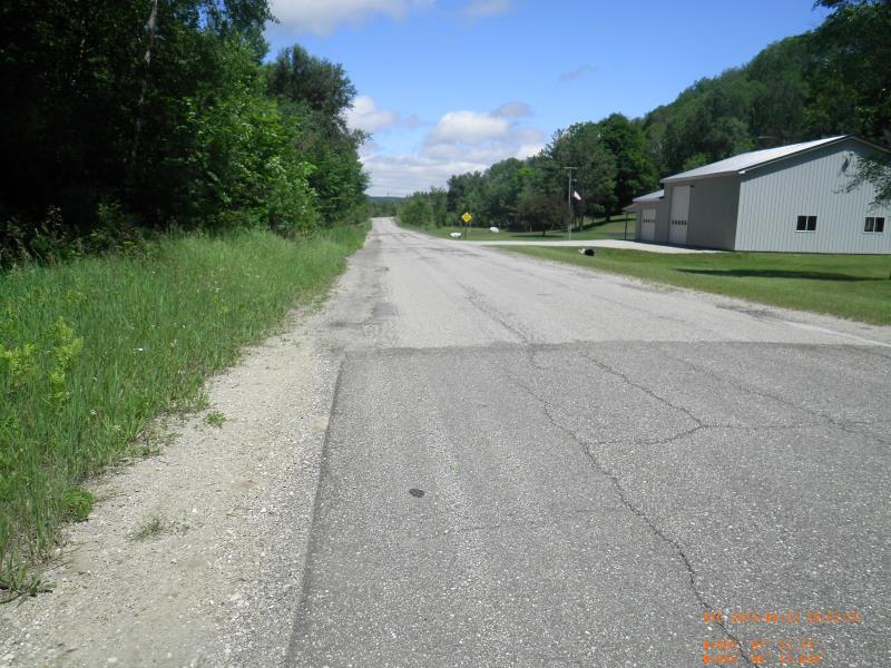
Vance Rd
Antrim County
Information collected by:
Site Location
GPS Coordinates: 45.1048383120645
, -85.1327678212123
Fish Passability 0
Perch Height: 1.17 ft.
Total Erosion: 0.3223 tons/year
Severity: Severe
Year Inventoried: 2015
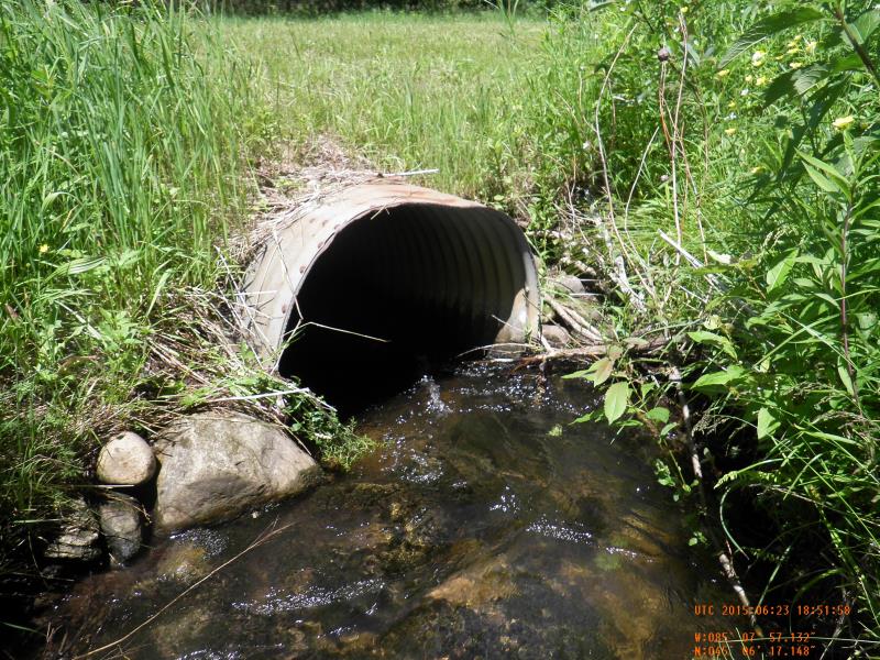
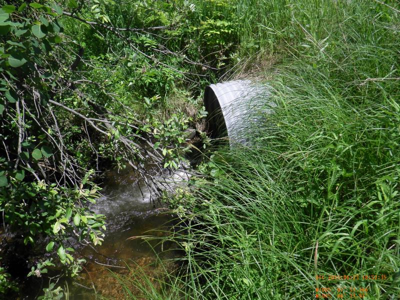
Inlet
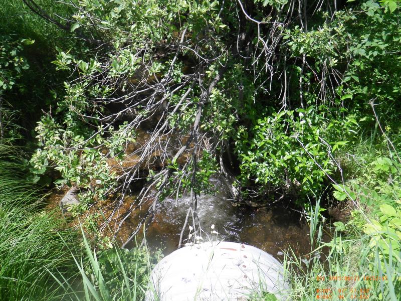
Outlet
Upstream Conditions
Downstream Conditions
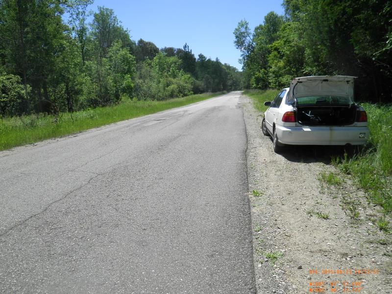
Road Approach - Left
Road Approach - Right
Crossing Information
Type of Crossing: culvert(s)
Number of Structures: 1
Inlet Type: Projecting
Outlet Type: Freefall into Pool
Structure Material: Metal
Structure Substrate: Mixture
General Conditions: Fair
Dimensions of Structure: Length 50 ft.
, Width 3 ft.
, Height 3 ft.
Perch Height: 1.17 ft.
Structure Inlet
Water Depth: 0.8 ft.
Embedded Depth of Structure: 0.25 ft.
Water Velocity*: 3.2 ft./sec.
Structure Outlet
Water Depth: 0.5 ft.
Embedded Depth of Structure: 0 ft.
Water Velocity*: 5.13 ft./sec.
*Water Velocities were measured 0.48 ft. below Surface
(with Meter)
Stream Information
Stream Flow: Less than 1/2 Bankfull
Scour Pool: Length 10 ft.
, Width 10 ft.
, Depth 2 ft.
Upstream Pond: Length 10 ft.
, Width 4 ft.
Riffle Information
Water Depth: 0.71 ft.
Bankfull Width: 6 ft.
Wetted Width: 6 ft.
Water Velocity: 1.52 ft./sec.
(Measured with Meter)
Dominant Substrate: Sand
Road Information
Paved
County Road
Road Condition: Fair
Road Width at Culvert: 30 ft.
Location of Low Point: At Stream
Runoff Path: Roadway
Embankments
Upstream
Fill Depth: 1.33 ft.
Slope: 1:2
Downstream
Fill Depth: 1.5 ft.
Slope: 1:2
Approaches
Left Approach
Length: 500 ft.
Slope: 1% to 5%
Vegetation: Partial
LS Factor: 0.64
Erosion: 0.3174 tons/year
Right Approach
Length: 100 ft.
Slope: Less Than 1%
Vegetation: Partial
LS Factor: 0.05
Erosion: 0.005 tons/year
Erosion Information
Total Erosion at Crossing: 0.3223 tons/year
Summary Information
Fish Passability 0
Fish Passage is an area of concern for this site.
perched culvert, high velocity
These non-native species were observerd at this site: wild parsnip by the road
�