Road Stream Crossing Site Jordan_EC-9
Lake Charlevoix Watershed, Bartholomew Creek
Bartholemew Rd
Antrim County
Information collected by:
Site Location
GPS Coordinates: 45.0935840875784
, -85.117333581101
Fish Passability 0
Total Erosion: 0.6645 tons/year
Severity: Severe
Year Inventoried: 2015
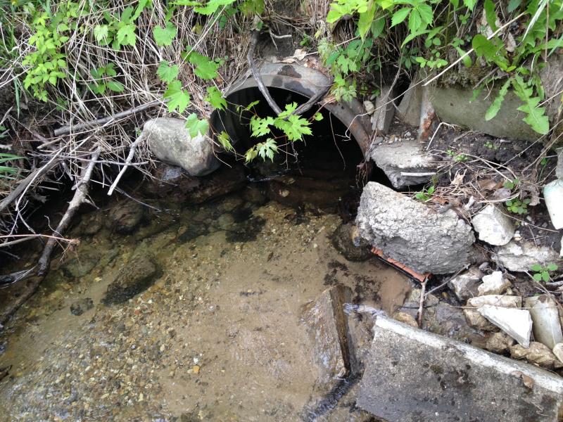
Inlet
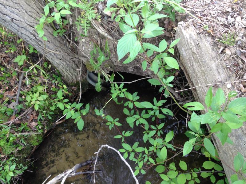
Outlet
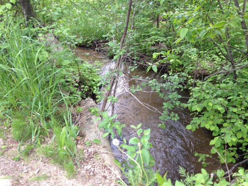
Upstream Conditions
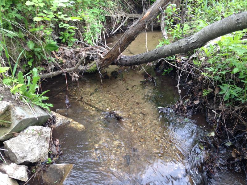
Downstream Conditions
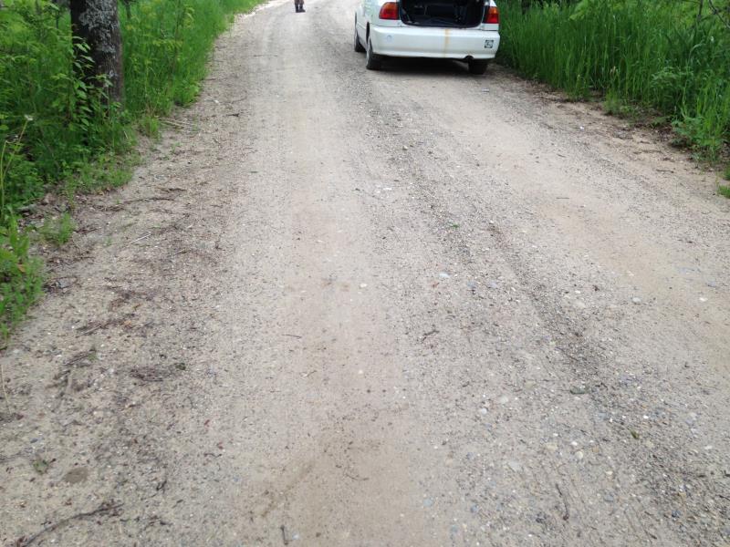
Road Approach - Left
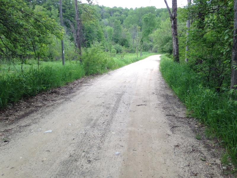
Road Approach - Right
Crossing Information
Type of Crossing: culvert(s)
Number of Structures: 1
Structure Shape: Round
Inlet Type: Projecting
Outlet Type: At Stream Grade
Structure Material: Metal
Structure Substrate: None
Structure Interior: corrugated
Dimensions of Structure: Length 21 ft.
, Width 2.1 ft.
, Height 2.1 ft.
Structure Inlet
Water Depth: 0.6 ft.
Embedded Depth of Structure: 0 ft.
Water Velocity*: 1.5 ft./sec.
Structure Outlet
Water Depth: 0.5 ft.
Embedded Depth of Structure: 0 ft.
Water Velocity*: 3.5 ft./sec.
(with Meter)
Stream Information
Stream Flow: Less than 1/2 Bankfull
Scour Pool: Length 0 ft.
, Width 0 ft.
, Depth 0 ft.
Upstream Pond: Length 0 ft.
, Width 0 ft.
, Depth 0 ft.
Riffle Information
Water Depth: 0.38 ft.
Bankfull Width: 5 ft.
Wetted Width: 4.25 ft.
Water Velocity: 1.2 ft./sec.
Road Information
Gravel
County Road
Road Width at Culvert: 18 ft.
Runoff Path: Roadway
Embankments
Upstream
Fill Depth: 2 ft.
Slope: Vertical
Downstream
Fill Depth: 1.5 ft.
Slope: Vertical
Approaches
Left Approach
Length: 100 ft.
Slope: 1% to 5%
Vegetation: Heavy
LS Factor: 0.38
Erosion: 0.1884 tons/year
Right Approach
Length: 200 ft.
Slope: 1% to 5%
Vegetation: Partial
LS Factor: 0.48
Erosion: 0.476 tons/year
Erosion Information
Total Erosion at Crossing: 0.6645 tons/year
Extent of Erosion: Moderate
Notes: edge of road encroading
Summary Information
Fish Passability 0
Erosion is an area of concern for this site.
concern over degrading edges of road
�