Road Stream Crossing Site Jordan_EX-01
Lake Charlevoix Watershed, Unnamed tributary to Deer Creek
Boyne City - East Jordan Road
Charlevoix County
Information collected by:
Site Location
GPS Coordinates: 45.1469163597224
, -85.0406568187759
Fish Passability 0
Total Erosion: 0.3438 tons/year
Severity: Severe
Year Inventoried: 2015
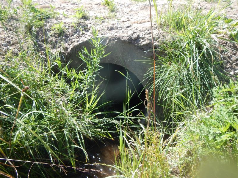
Inlet
Outlet
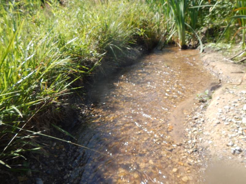
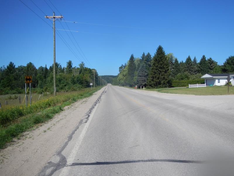
Upstream Conditions
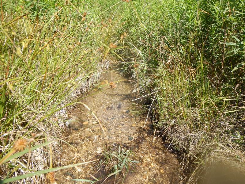
Downstream Conditions
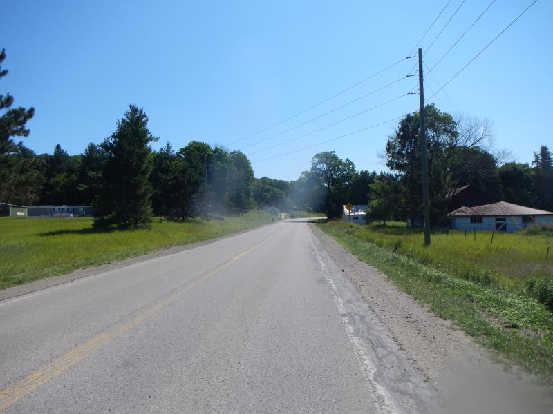
Road Approach - Left
Road Approach - Right
Crossing Information
Type of Crossing: culvert(s)
Number of Structures: 1
Structure Shape: Round
Inlet Type: Projecting
Outlet Type: At Stream Grade
Structure Material: Concrete
Structure Substrate: Mixture
General Conditions: Fair
Dimensions of Structure: Length 40 ft.
, Width 2 ft.
, Height 2 ft.
Percentage Plugged:
Outlet: 76% to 100%
Structure Inlet
Water Depth: 0.1 ft.
Embedded Depth of Structure: 0.17 ft.
Water Velocity*: 1.3 ft./sec.
Structure Outlet
Water Depth: 0.01 ft.
Embedded Depth of Structure: 0.75 ft.
Water Velocity*: 0.25 ft./sec.
(with Meter)
Stream Information
Stream Flow: Less than 1/2 Bankfull
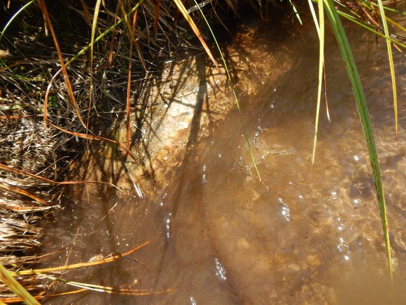
Riffle Information
Water Depth: 0.21 ft.
Bankfull Width: 1.8 ft.
Wetted Width: 1.8 ft.
Water Velocity: 0.45 ft./sec.
(Measured with Meter)
Dominant Substrate: Gravel
Road Information
Paved
State Road
Road Condition: Good
Road Width at Culvert: 25 ft.
Location of Low Point: Other
Runoff Path: Roadway
Embankments
Upstream
Fill Depth: 1 ft.
Slope: More than 1:2
Downstream
Fill Depth: 4 ft.
Approaches
Left Approach
Length: 500 ft.
Slope: 1% to 5%
Vegetation: Partial
LS Factor: 0.64
Erosion: 0.2645 tons/year
Right Approach
Length: 200 ft.
Slope: 1% to 5%
Vegetation: Partial
LS Factor: 0.48
Erosion: 0.0793 tons/year
Erosion Information
Total Erosion at Crossing: 0.3438 tons/year
Summary Information
Fish Passability 0
A future visit to this site is recommended. outlet plugged almost entirely
�