Road Stream Crossing Site Jordan_EX-05
Lake Charlevoix Watershed, Unnamed tributary to Deer Creek
Rogers Rd
Charlevoix County
Information collected by:
Site Location
GPS Coordinates: 45.132406137017
, -85.0377070712806
Fish Passability 0.9
Total Erosion: 0.6446 tons/year
Severity: Moderate
Year Inventoried: 2014
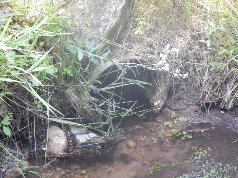
Inlet
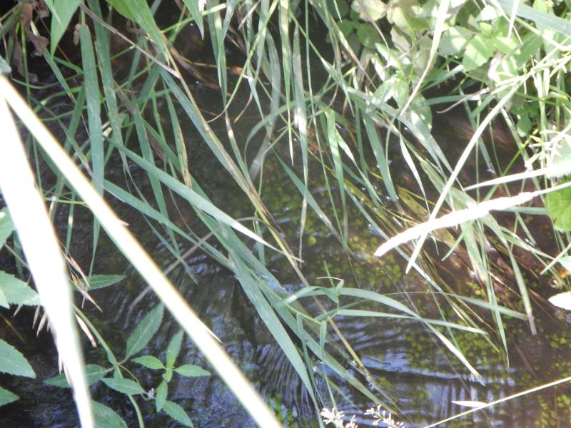
Outlet
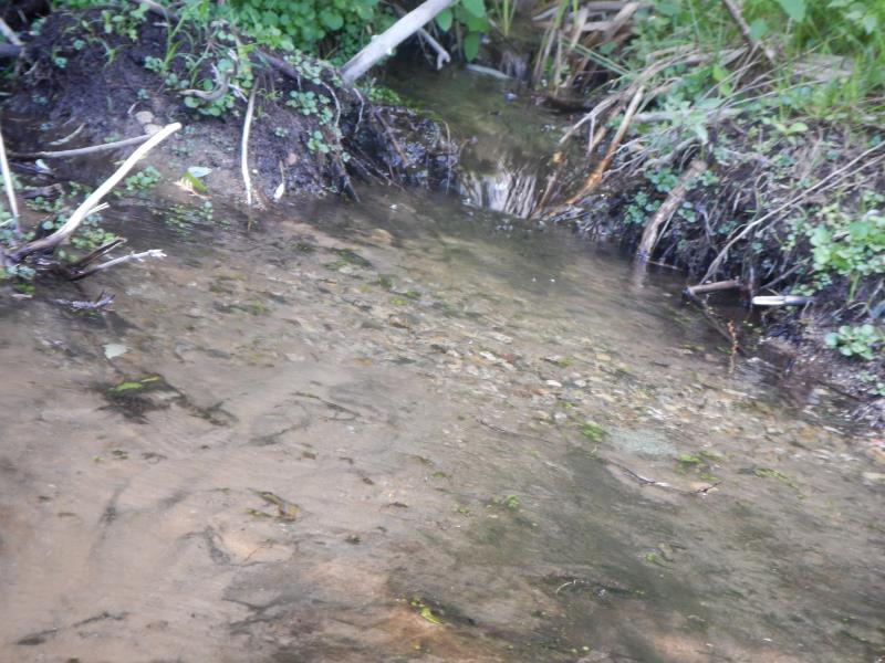
Upstream Conditions
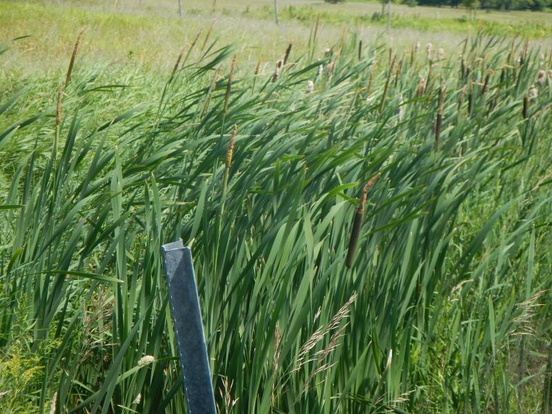
Road Approach - Left
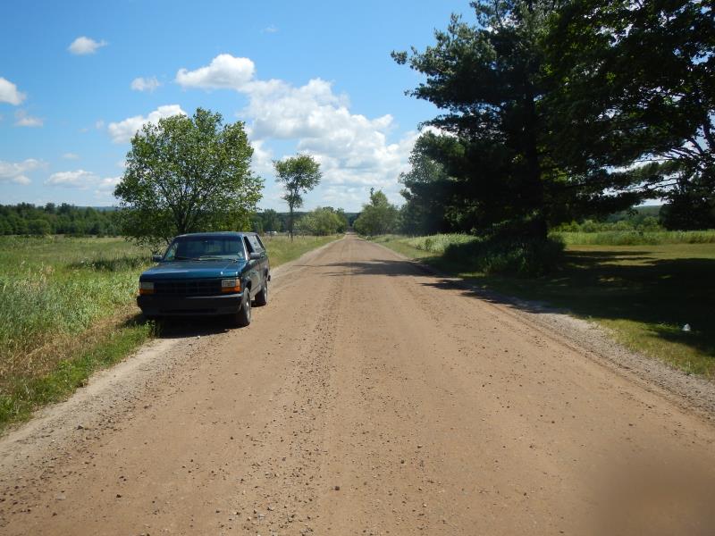
Road Approach - Right
Crossing Information
Type of Crossing: culvert(s)
Number of Structures: 1
Structure Shape: Round
Inlet Type: Projecting
Outlet Type: At Stream Grade
Structure Material: Metal
Structure Substrate: Mixture
General Conditions: Fair
Structure Interior: corrugated
Dimensions of Structure: Length 40 ft.
, Width 1 ft.
, Height 1 ft.
Structure Inlet
Water Depth: 0.25 ft.
Embedded Depth of Structure: 0.08 ft.
Water Velocity*: 0.7 ft./sec.
Structure Outlet
Water Depth: 0.42 ft.
Embedded Depth of Structure: 0.08 ft.
Water Velocity*: 0.45 ft./sec.
(with Meter)
Stream Information
Stream Flow: Less than Bankfull
Riffle Information
Water Depth: 2.17 ft.
Bankfull Width: 2.2 ft.
Wetted Width: 2.2 ft.
Water Velocity: 0.1 ft./sec.
(Measured with Meter)
Dominant Substrate: Sand
Road Information
Gravel
County Road
Road Condition: Good
Road Width at Culvert: 30 ft.
Location of Low Point: At Stream
Runoff Path: Roadway
Embankments
Upstream
Fill Depth: 1 ft.
Slope: 1:1.5
Downstream
Fill Depth: 1 ft.
Slope: 1:1.5
Approaches
Left Approach
Length: 100 ft.
Slope: 1% to 5%
Vegetation: Partial
LS Factor: 0.39
Erosion: 0.3223 tons/year
Right Approach
Length: 100 ft.
Slope: 1% to 5%
Vegetation: Partial
LS Factor: 0.39
Erosion: 0.3223 tons/year
Erosion Information
Total Erosion at Crossing: 0.6446 tons/year
Summary Information
Fish Passability 0.9
�