Road Stream Crossing Site Jordan_EX-06
Lake Charlevoix Watershed, Nemecheck Creek
Pesek Road
Charlevoix County
Information collected by:
Site Location
GPS Coordinates: 45.1179184987942
, -85.0331075011101
Fish Passability 0.9
Total Erosion: 0.4959 tons/year
Severity: Moderate
Year Inventoried: 2014
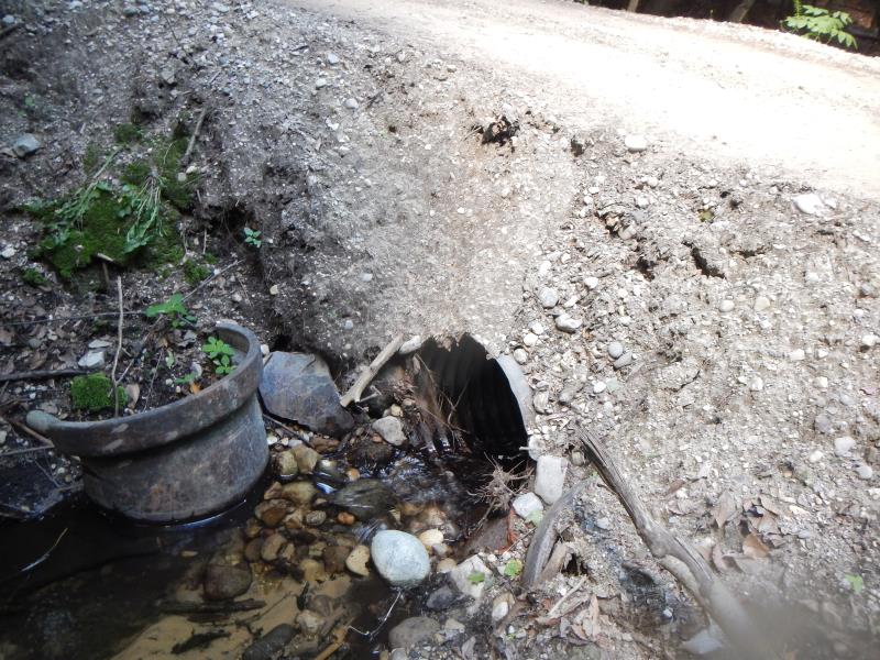
Inlet
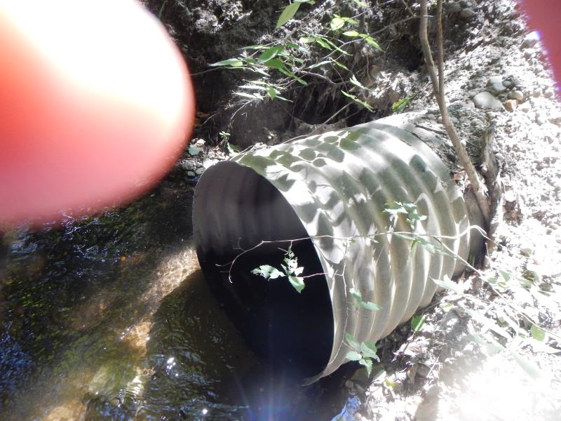
Outlet
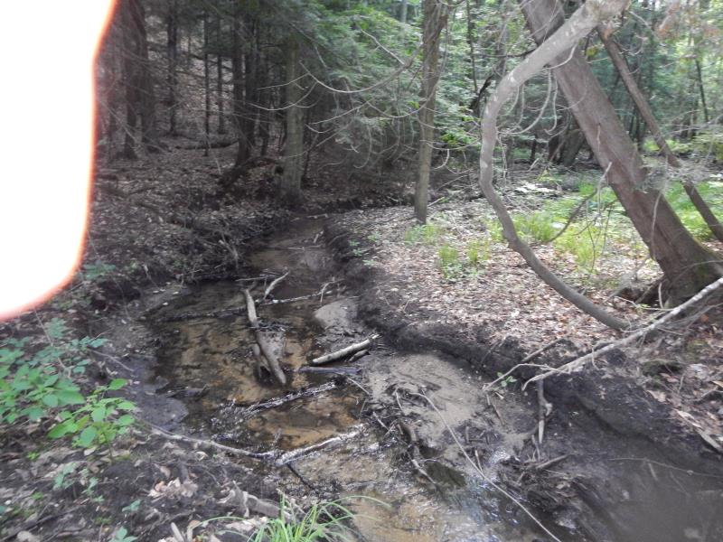
Upstream Conditions
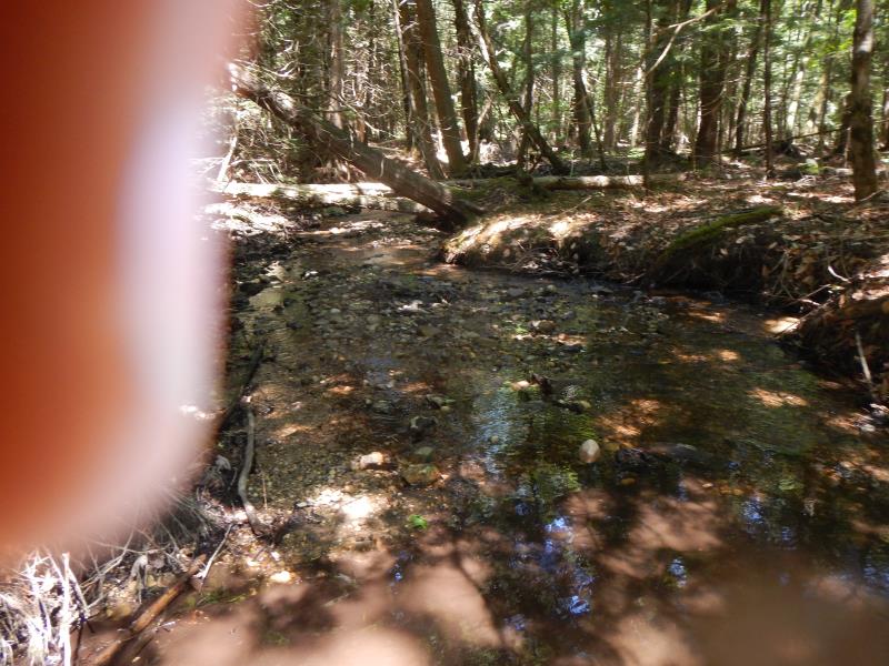
Downstream Conditions
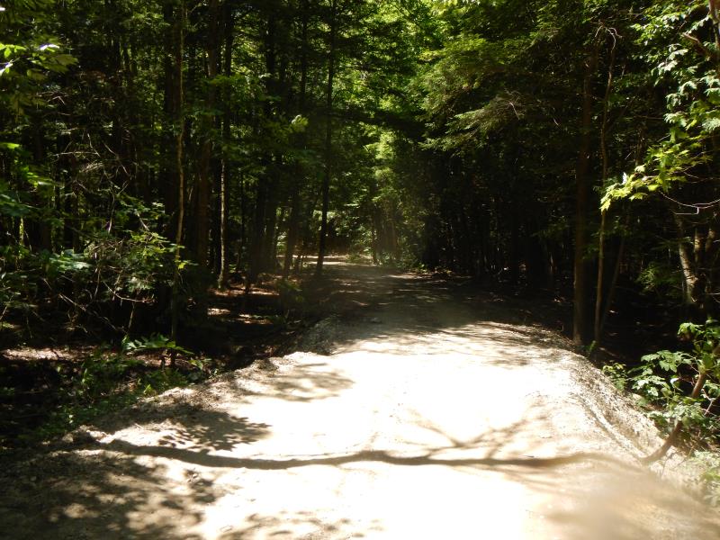
Road Approach - Left
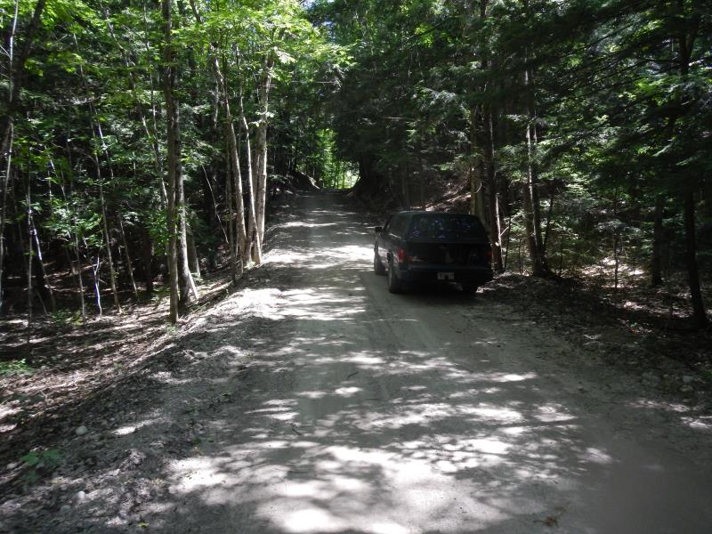
Road Approach - Right
Crossing Information
Type of Crossing: culvert(s)
Number of Structures: 1
Structure Shape: Round
Inlet Type: Projecting
Outlet Type: At Stream Grade
Structure Material: Metal
Structure Substrate: None
General Conditions: Good
Structure Interior: corrugated
Dimensions of Structure: Length 25 ft.
, Width 2 ft.
, Height 2 ft.
Structure Inlet
Water Depth: 0.25 ft.
Water Velocity*: 0.17 ft./sec.
Structure Outlet
Water Depth: 0.42 ft.
Water Velocity*: 0.95 ft./sec.
(with Meter)
Riffle Information
Water Depth: 0.33 ft.
Bankfull Width: 4.5 ft.
Wetted Width: 4.5 ft.
Water Velocity: 1.1 ft./sec.
(Measured with Meter)
Dominant Substrate: Sand
Road Information
Gravel
County Road
Road Condition: Fair
Road Width at Culvert: 15 ft.
Location of Low Point: At Stream
Embankments
Upstream
Fill Depth: 2.5 ft.
Slope: Vertical
Downstream
Fill Depth: 3.5 ft.
Slope: Vertical
Approaches
Left Approach
Length: 50 ft.
Slope: 1% to 5%
Vegetation: Partial
LS Factor: 0.32
Erosion: 0.0661 tons/year
Right Approach
Length: 100 ft.
Slope: 6% to 10%
Vegetation: Partial
LS Factor: 1.04
Erosion: 0.4298 tons/year
Erosion Information
Total Erosion at Crossing: 0.4959 tons/year
Extent of Erosion: Moderate
Erosion is occurring and corrective actions can be installed to address the problem.
Notes: upstream above culvert; downstream above culvert
Summary Information
Fish Passability 0.9
�