Road Stream Crossing Site Jordan_EX-07
Lake Charlevoix Watershed, Unnamed tributary to Deer Creek
Rogers Rd
Charlevoix County
Information collected by:
Site Location
GPS Coordinates: 45.132557165625
, -85.009756713052
Fish Passability 0
Perch Height: 0.17 ft.
Total Erosion: 4.7521 tons/year
Severity: Severe
Year Inventoried: 2015
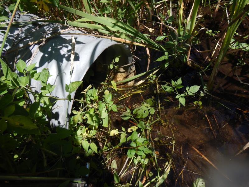
Inlet
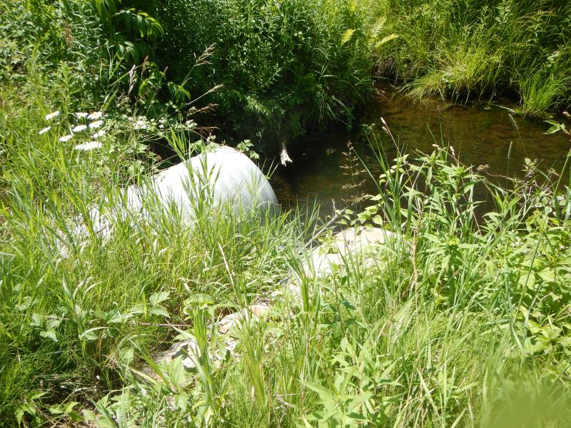
Outlet
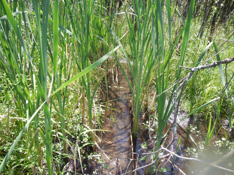
Upstream Conditions
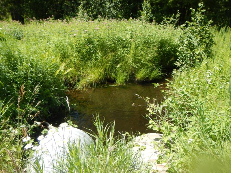
Downstream Conditions
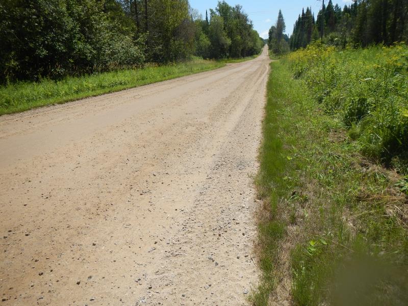
Road Approach - Left
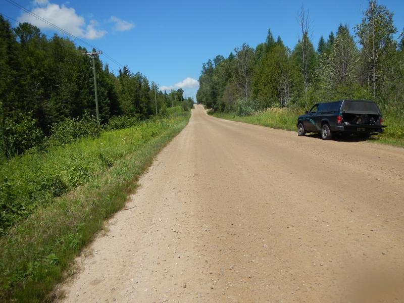
Road Approach - Right
Crossing Information
Type of Crossing: culvert(s)
Number of Structures: 1
Structure Shape: Round
Inlet Type: Projecting
Outlet Type: Freefall into Pool
Structure Material: Metal
Structure Substrate: None
General Conditions: Good
Structure Interior: corrugated
Dimensions of Structure: Length 35 ft.
, Width 1.5 ft.
, Height 1.5 ft.
Percentage Plugged:
Inlet: 1% to 25%
Perch Height: 0.17 ft.
Structure Inlet
Water Depth: 0.38 ft.
Water Velocity*: 1.1 ft./sec.
Structure Outlet
Water Depth: 0.17 ft.
Water Velocity*: 2.3 ft./sec.
(with Meter)
Stream Information
Stream Flow: Bankfull
Scour Pool: Length 5 ft.
, Width 6 ft.
, Depth 0.67 ft.
Riffle Information
Water Depth: 0.17 ft.
Bankfull Width: 3 ft.
Wetted Width: 3 ft.
Water Velocity: 0.55 ft./sec.
(Measured with Meter)
Dominant Substrate: Sand
Road Information
Gravel
County Road
Road Condition: Good
Road Width at Culvert: 25 ft.
Fill Depth: 0.5 ft.
Slope: More than 1:2
Approaches
Left Approach
Length: 500 ft.
Slope: 1% to 5%
Vegetation: Heavy
LS Factor: 0.5
Erosion: 1.7218 tons/year
Right Approach
Length: 800 ft.
Slope: 1% to 5%
Vegetation: Heavy
LS Factor: 0.55
Erosion: 3.0303 tons/year
Erosion Information
Total Erosion at Crossing: 4.7521 tons/year
Summary Information
Fish Passability 0
�