Road Stream Crossing Site Jordan_EX-08
Lake Charlevoix Watershed, Eaton Creek
Barber Rd
Charlevoix County
Information collected by:
Site Location
GPS Coordinates: 45.134086008948
, -84.9888255631952
Fish Passability 0
Perch Height: 0.67 ft.
Total Erosion: 77.1419 tons/year
Severity: Severe
Year Inventoried: 2014
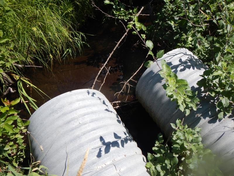
Inlet
Outlet
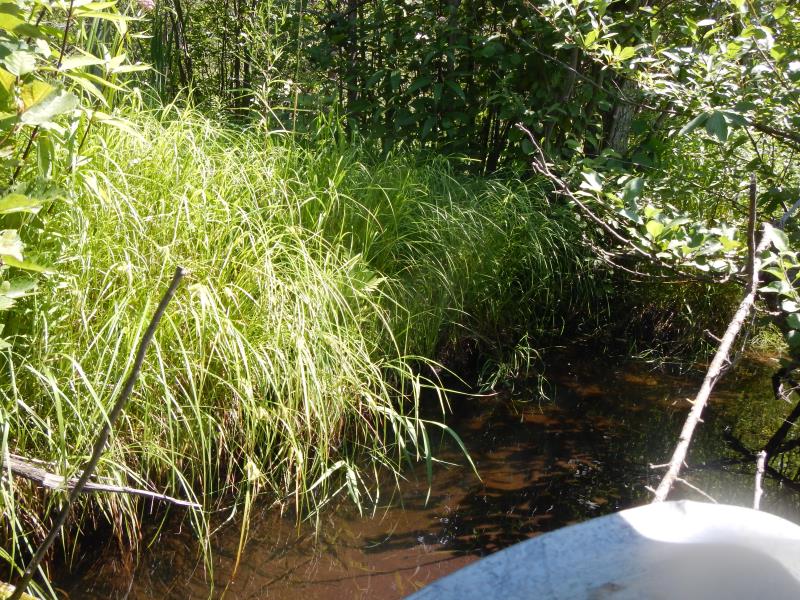
Upstream Conditions
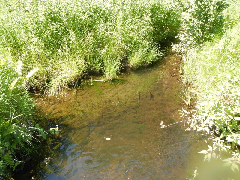
Downstream Conditions
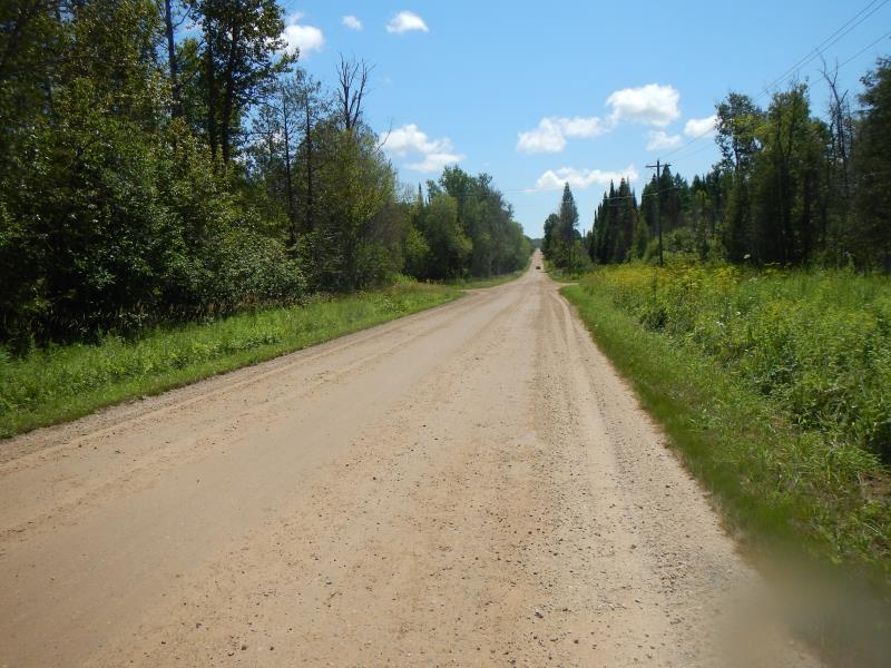
Road Approach - Left
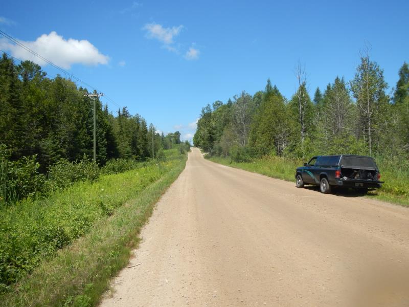
Road Approach - Right
Crossing Information
Type of Crossing: culvert(s)
Number of Structures: 2
Structure Shape: Round
Inlet Type: Projecting
Outlet Type: Freefall into Pool
Structure Material: Metal
Structure Substrate: None
General Conditions: Good
Multiple Culverts/Spans | ||||
Culvert/Span | Width | Length | Height | Material |
1 |
3 ft. |
40 ft. |
3 ft. |
Metal |
2 |
3 ft. |
40 ft. |
3 ft. |
Metal |
Structure Interior: corrugated
Dimensions of Structure: Length 40 ft.
, Width 3 ft.
, Height 3 ft.
Perch Height: 0.67 ft.
Structure Inlet
Water Depth: 0.17 ft.
Water Velocity*: 0.3 ft./sec.
Structure Outlet
Water Depth: 0.17 ft.
Water Velocity*: 2.6 ft./sec.
(with Meter)
Stream Information
Stream Flow: Less than Bankfull
Scour Pool: Length 12 ft.
, Width 8 ft.
, Depth 1.5 ft.
Riffle Information
Water Depth: 0.17 ft.
Bankfull Width: 2.5 ft.
Wetted Width: 2.5 ft.
Water Velocity: 0.5 ft./sec.
(Measured with Meter)
Dominant Substrate: Sand
Road Information
Gravel
County Road
Road Condition: Good
Road Width at Culvert: 25 ft.
Location of Low Point: At Stream
Approaches
Left Approach
Length: 1000 ft.
Slope: More Than 10%
Vegetation: Partial
LS Factor: 9.065
Erosion: 62.4311 tons/year
Right Approach
Length: 400 ft.
Slope: More Than 10%
Vegetation: Partial
LS Factor: 5.34
Erosion: 14.7107 tons/year
Erosion Information
Total Erosion at Crossing: 77.1419 tons/year
Summary Information
Fish Passability 0
Fish Passage is an area of concern for this site.
perch
A future visit to this site is recommended. deal with perch
�