Road Stream Crossing Site Jordan_EX-09
Lake Charlevoix Watershed, Eaton Creek
Rogers Rd
Charlevoix County
Information collected by:
Site Location
GPS Coordinates: 45.1327638179041
, -84.9882126007841
Fish Passability 0
Perch Height: 0.17 ft.
Total Erosion: 11.405 tons/year
Severity: Severe
Year Inventoried: 2014
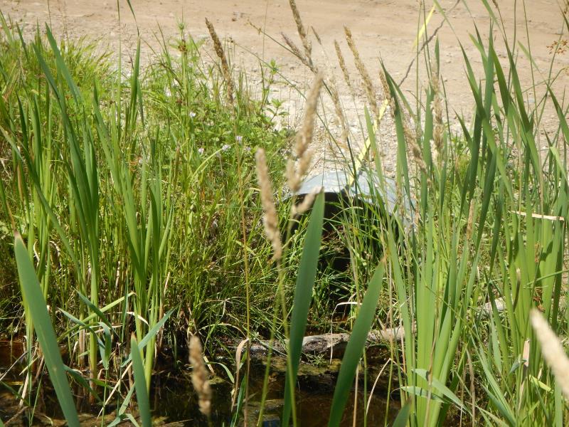
Inlet
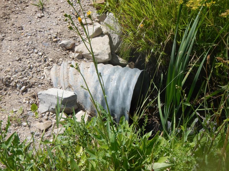
Outlet
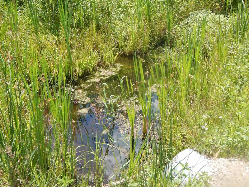
Upstream Conditions
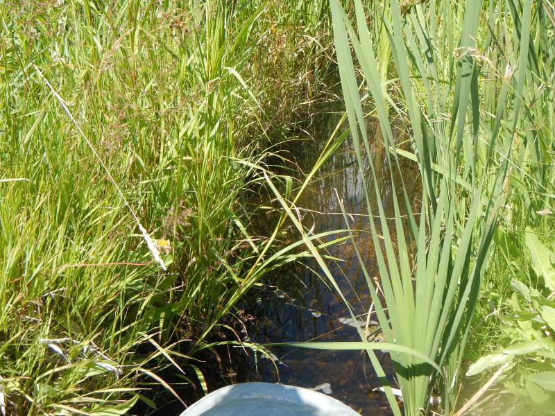
Downstream Conditions
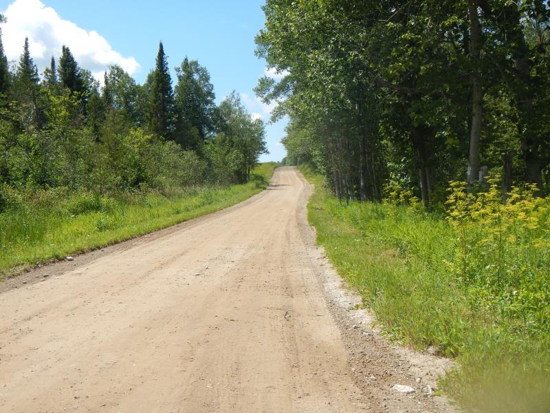
Road Approach - Left
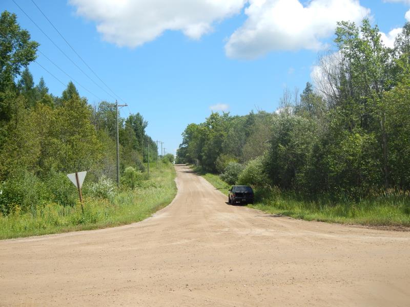
Road Approach - Right
Crossing Information
Type of Crossing: culvert(s)
Number of Structures: 1
Structure Shape: Round
Inlet Type: Projecting
Outlet Type: Freefall into Pool
Structure Material: Metal
Structure Substrate: None
General Conditions: Good
Structure Interior: corrugated
Dimensions of Structure: Length 30 ft.
, Width 2 ft.
, Height 2 ft.
Percentage Plugged:
Inlet: 1% to 25%
Perch Height: 0.17 ft.
Structure Inlet
Water Depth: 0.42 ft.
Water Velocity*: 0.4 ft./sec.
Structure Outlet
Water Depth: 0.21 ft.
Water Velocity*: 1.1 ft./sec.
(with Meter)
Stream Information
Stream Flow: Bankfull
Riffle Information
Water Depth: 0.5 ft.
Bankfull Width: 3 ft.
Wetted Width: 3 ft.
Water Velocity: 0.25 ft./sec.
Dominant Substrate: Gravel
Road Information
Gravel
County Road
Road Condition: Good
Road Width at Culvert: 25 ft.
Approaches
Left Approach
Length: 300 ft.
Slope: 6% to 10%
Vegetation: Partial
LS Factor: 1.77
Erosion: 3.657 tons/year
Right Approach
Length: 500 ft.
Slope: 6% to 10%
Vegetation: Partial
LS Factor: 2.25
Erosion: 7.7479 tons/year
Erosion Information
Total Erosion at Crossing: 11.405 tons/year
Summary Information
Fish Passability 0
Fish Passage is an area of concern for this site.
fish sited unable to move upstream
�