Road Stream Crossing Site Jordan_EX-11
Lake Charlevoix Watershed, Unnamed tributary to Jordan River
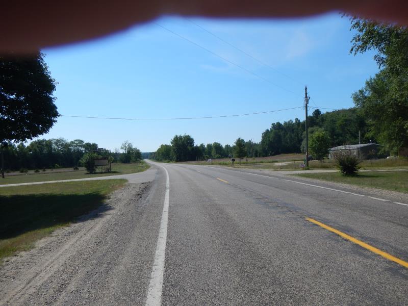
M-66
Antrim County
Information collected by:
Site Location
GPS Coordinates: 45.0659212214657
, -85.082869216219
Fish Passability 0.5
Severity: Moderate
Year Inventoried: 2015
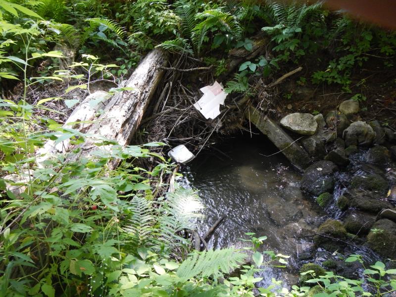
Inlet
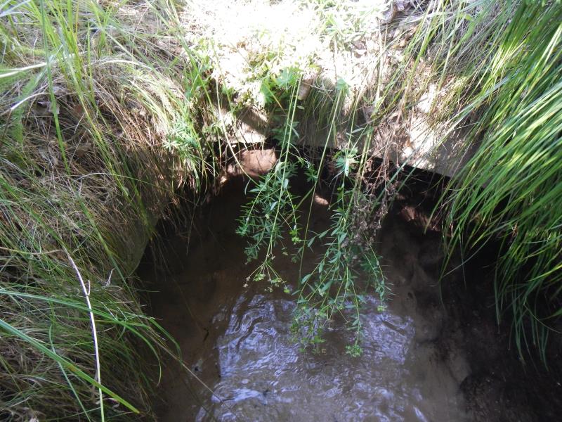
Outlet
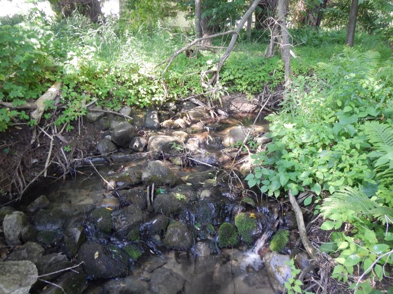
Upstream Conditions
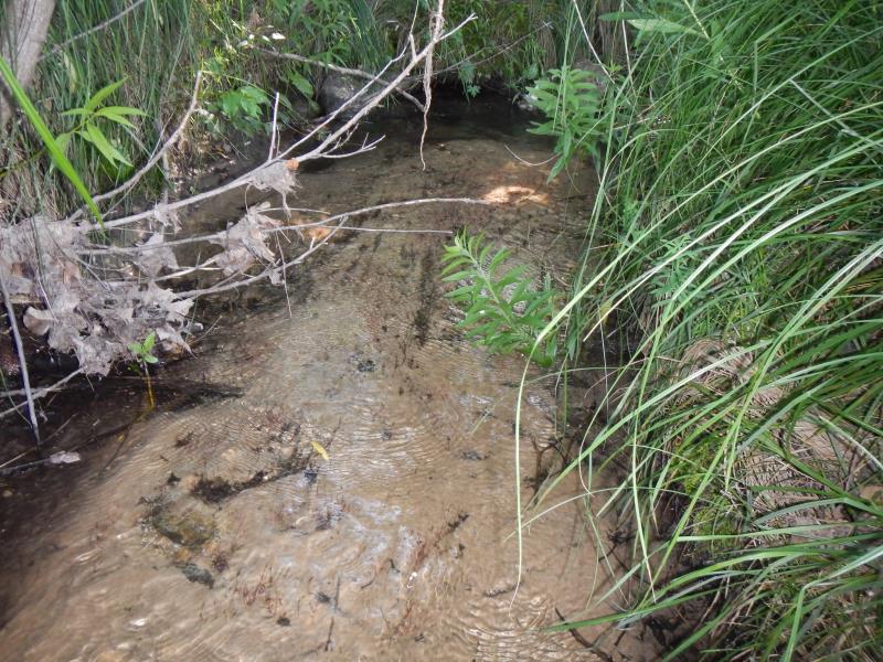
Downstream Conditions
Road Approach - Left
Road Approach - Right
Crossing Information
Type of Crossing: culvert(s)
Number of Structures: 1
Structure Shape: Open Bottom Arch
Inlet Type: Mitered
Outlet Type: At Stream Grade
Structure Material: Concrete
Structure Substrate: Sand
General Conditions: Good
Dimensions of Structure: Length 50 ft.
, Width 2 ft.
, Height 1.67 ft.
Percentage Plugged:
Inlet: 26% to 50%
Structure Inlet
Water Depth: 0.6 ft.
Water Velocity*: 2.4 ft./sec.
Structure Outlet
Water Depth: 0.17 ft.
Water Velocity*: 0.24 ft./sec.
(with Meter)
Stream Information
Stream Flow: Bankfull
Riffle Information
Water Depth: 0.29 ft.
Bankfull Width: 2.75 ft.
Wetted Width: 2.75 ft.
Water Velocity: 0.65 ft./sec.
(Measured with Meter)
Dominant Substrate: Sand
Road Information
Paved
State Road
Road Condition: Good
Road Width at Culvert: 25 ft.
Location of Low Point: At Stream
Runoff Path: Roadway
Fill Depth: 1 ft.
Slope: More than 1:2
Length: 2000 ft.
Slope: 1% to 5%
Vegetation: Partial
Length: 3000 ft.
Slope: 1% to 5%
Vegetation: Partial
Erosion Information
Summary Information
Fish Passability 0.5
�