Road Stream Crossing Site Jordan_EX-12
Lake Charlevoix Watershed, Unnamed tributary to Jordan River
Mount Bliss Rd
Antrim County
Information collected by:
Site Location
GPS Coordinates: 45.0863618319168
, -85.0707016231876
Fish Passability 0.5
Total Erosion: 0.306 tons/year
Severity: Moderate
Year Inventoried: 2015
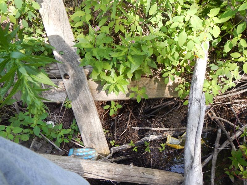
Inlet
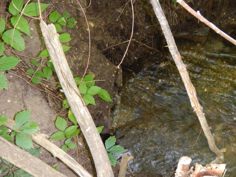
Outlet
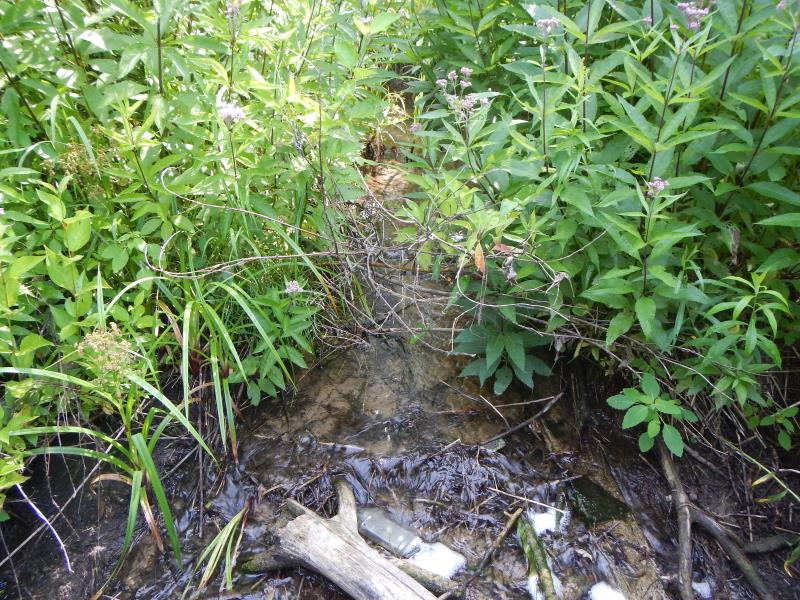
Upstream Conditions
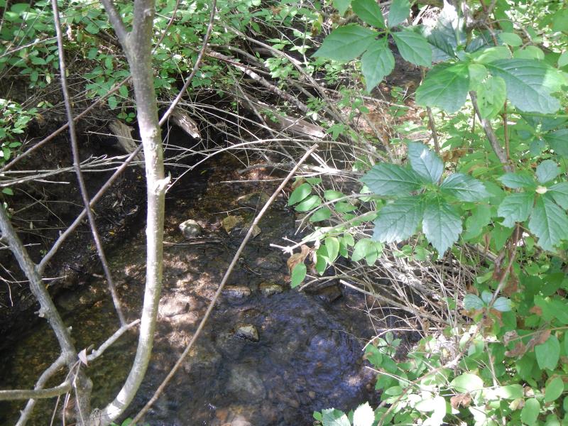
Downstream Conditions
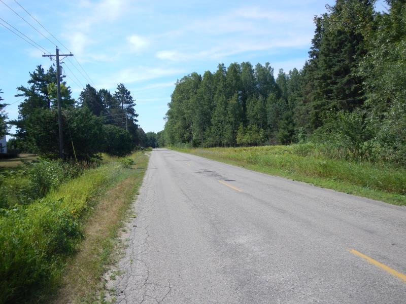
Road Approach - Left
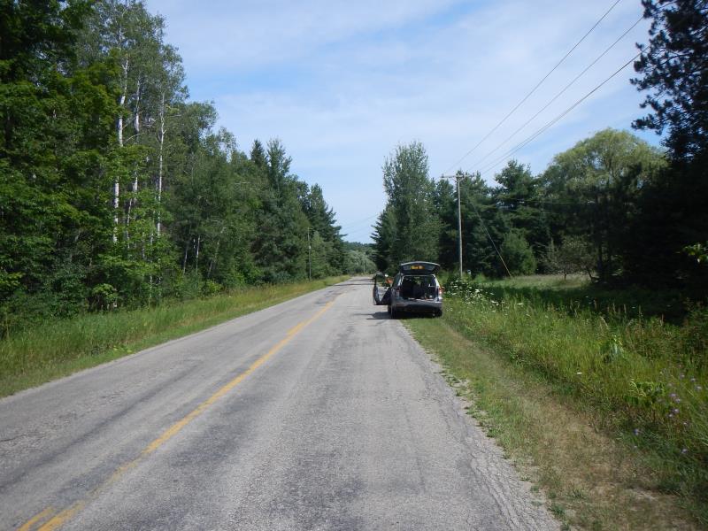
Road Approach - Right
Crossing Information
Type of Crossing: culvert(s)
Number of Structures: 1
Structure Shape: Round
Outlet Type: At Stream Grade
Structure Material: Metal
Structure Substrate: None
General Conditions: Fair
Structure Interior: corrugated
Dimensions of Structure: Length 40 ft.
, Width 2 ft.
, Height 2 ft.
Structure Inlet
Water Depth: 0.35 ft.
Water Velocity*: 1.22 ft./sec.
Structure Outlet
Water Depth: 0.33 ft.
Water Velocity*: 2.7 ft./sec.
(with Meter)
Riffle Information
Water Depth: 0.47 ft.
Bankfull Width: 5 ft.
Wetted Width: 5 ft.
Water Velocity: 1.1 ft./sec.
(Measured with Meter)
Dominant Substrate: Gravel
Road Information
Paved
County Road
Road Condition: Good
Road Width at Culvert: 26 ft.
Location of Low Point: At Stream
Runoff Path: Roadway
Embankments
Upstream
Fill Depth: 16 ft.
Slope: Vertical
Downstream
Fill Depth: 12 ft.
Slope: Vertical
Approaches
Left Approach
Length: 500 ft.
Slope: 1% to 5%
Vegetation: Partial
LS Factor: 0.64
Erosion: 0.275 tons/year
Right Approach
Length: 600 ft.
Slope: Less Than 1%
Vegetation: Partial
LS Factor: 0.06
Erosion: 0.0309 tons/year
Erosion Information
Total Erosion at Crossing: 0.306 tons/year
Summary Information
Fish Passability 0.5
Fish Passage is an area of concern for this site.
A future visit to this site is recommended. plugged
�