Road Stream Crossing Site Jordan_EX-13
Lake Charlevoix Watershed, Unnamed tributary to Jordan River
M-66
Antrim County
Information collected by:
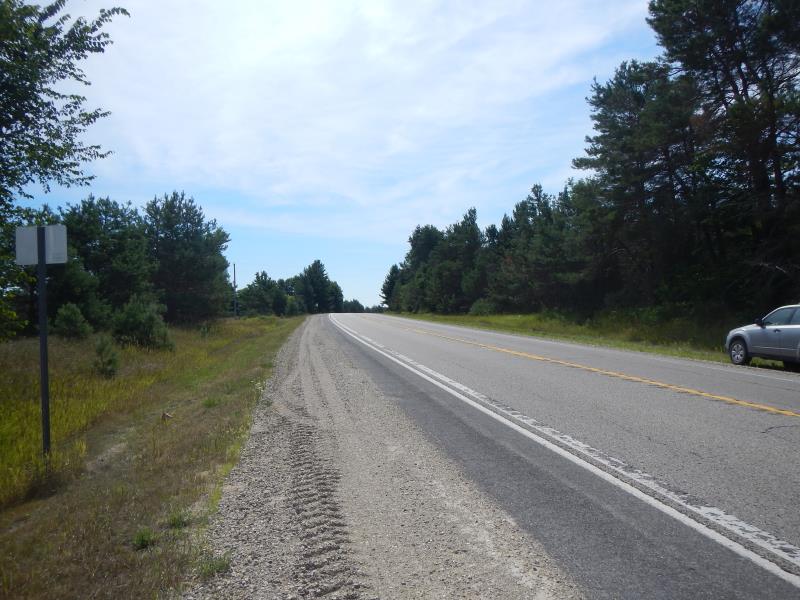
Site Location
GPS Coordinates: 45.0943259630427
, -85.1000479214391
Fish Passability 0
Total Erosion: 3.2192 tons/year
Severity: Severe
Year Inventoried: 2015

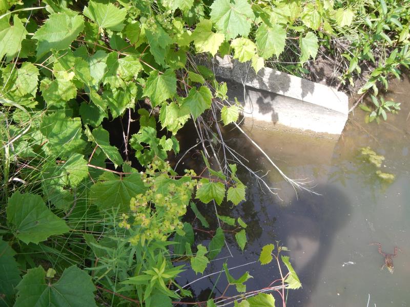
Inlet
Outlet
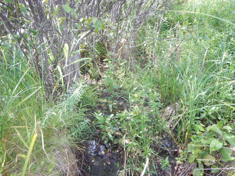
Upstream Conditions
Downstream Conditions
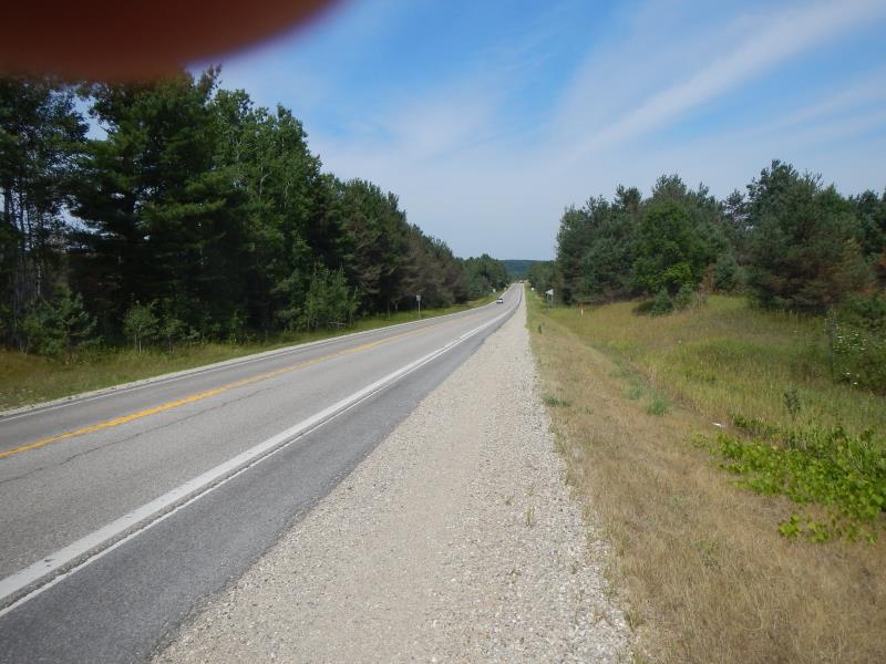
Road Approach - Left
Road Approach - Right
Crossing Information
Type of Crossing: culvert(s)
Number of Structures: 1
Structure Shape: Open Bottom Arch
Inlet Type: Projecting
Outlet Type: At Stream Grade
Structure Material: Concrete
General Conditions: Fair
Dimensions of Structure: Length 60 ft.
, Width 4 ft.
, Height 3 ft.
Structure Inlet
Water Depth: 0.02 ft.
Water Velocity*: 0 ft./sec.
Structure Outlet
Water Depth: 0.33 ft.
Water Velocity*: 0 ft./sec.
Riffle Information
Water Depth: 0.5 ft.
Bankfull Width: 2 ft.
Wetted Width: 2 ft.
Water Velocity: 0 ft./sec.
Road Information
Paved
State Road
Road Condition: Good
Road Width at Culvert: 30 ft.
Location of Low Point: Other
Embankments
Upstream
Fill Depth: 3 ft.
Slope: 1:2
Downstream
Fill Depth: 3.5 ft.
Slope: 1:1.5
Approaches
Left Approach
Length: 1000 ft.
Slope: 6% to 10%
Vegetation: Partial
LS Factor: 3.15
Erosion: 3.124 tons/year
Right Approach
Length: 200 ft.
Slope: 1% to 5%
Vegetation: Partial
LS Factor: 0.48
Erosion: 0.0952 tons/year
Erosion Information
Total Erosion at Crossing: 3.2192 tons/year
Summary Information
Fish Passability 0
�