Road Stream Crossing Site Jordan_EX-14
Lake Charlevoix Watershed, Unnamed tributary to Bennett Creek
Vance Rd
Antrim County
Information collected by:
Site Location
GPS Coordinates: 45.1054864219835
, -85.1473493037253
Fish Passability 0.5
Total Erosion: 1.1281 tons/year
Severity: Moderate
Year Inventoried: 2015
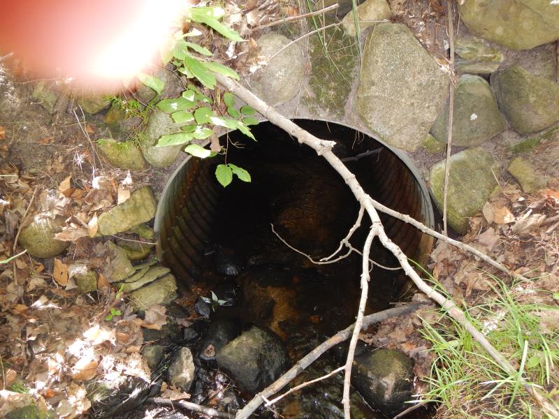
Inlet

Outlet
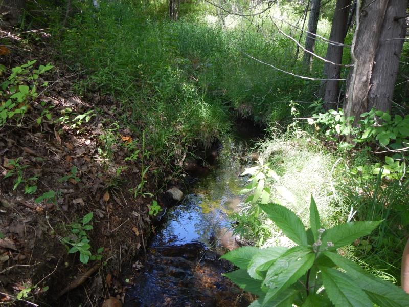
Upstream Conditions
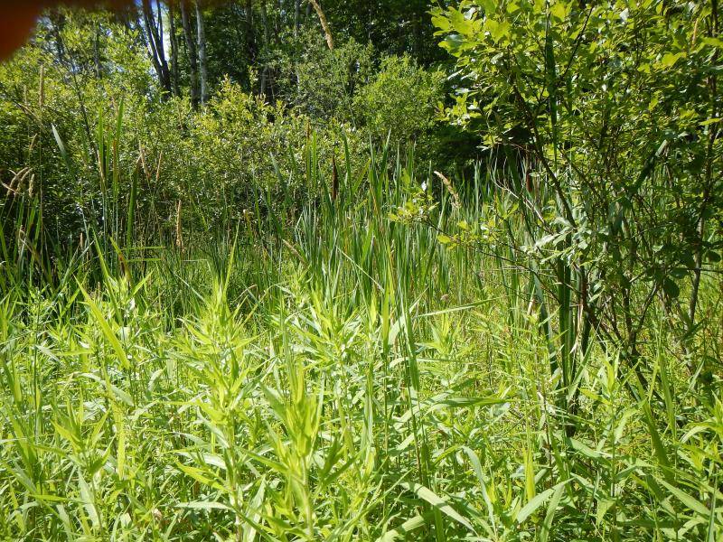
Downstream Conditions
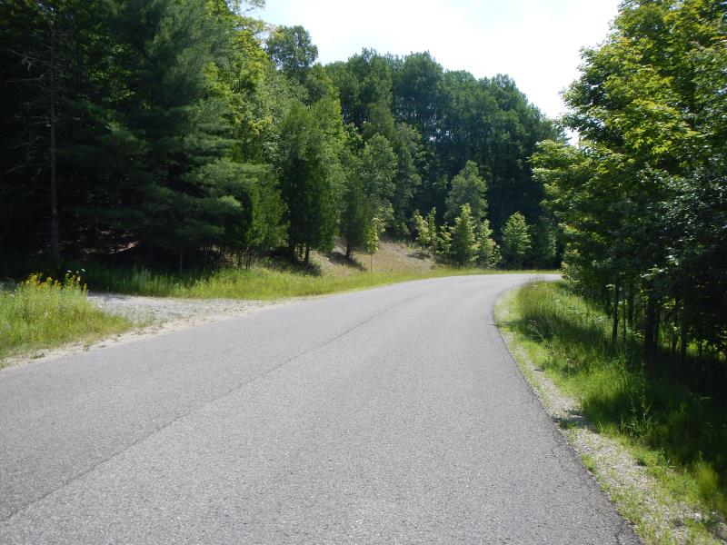
Road Approach - Left
Road Approach - Right
Crossing Information
Type of Crossing: culvert(s)
Number of Structures: 1
Structure Shape: Round
Inlet Type: Projecting
Structure Material: Metal
Structure Substrate: Sand
General Conditions: Good
Structure Interior: corrugated
Dimensions of Structure: Length 40 ft.
, Width 3 ft.
, Height 3 ft.
Structure Inlet
Water Depth: 0.17 ft.
Water Velocity*: 0.75 ft./sec.
Structure Outlet
Water Depth: 0.12 ft.
Water Velocity*: 0.3 ft./sec.
(with Meter)
Stream Information
Stream Flow: Less than 1/2 Bankfull
Riffle Information
Water Depth: 0.39 ft.
Bankfull Width: 1.42 ft.
Wetted Width: 1.42 ft.
Water Velocity: 0.2 ft./sec.
(Measured with Meter)
Dominant Substrate: Sand
Road Information
Paved
County Road
Road Condition: Good
Road Width at Culvert: 25 ft.
Location of Low Point: At Stream
Embankments
Upstream
Fill Depth: 14 ft.
Slope: Vertical
Downstream
Fill Depth: 12 ft.
Slope: 1:1.5
Approaches
Left Approach
Length: 400 ft.
Slope: 1% to 5%
Vegetation: Partial
LS Factor: 0.6
Erosion: 0.1983 tons/year
Right Approach
Length: 500 ft.
Slope: 6% to 10%
Vegetation: Partial
LS Factor: 2.25
Erosion: 0.9298 tons/year
Erosion Information
Total Erosion at Crossing: 1.1281 tons/year
Summary Information
Fish Passability 0.5
�