Road Stream Crossing Site Jordan_EX-15
Lake Charlevoix Watershed, Unnamed tributary to Jordan River
M-66
Charlevoix County
Information collected by:
Site Location
GPS Coordinates: 45.1411880064196
, -85.1397854806403
Fish Passability 0.5
Total Erosion: 0.2588 tons/year
Severity: Moderate
Year Inventoried: 2015
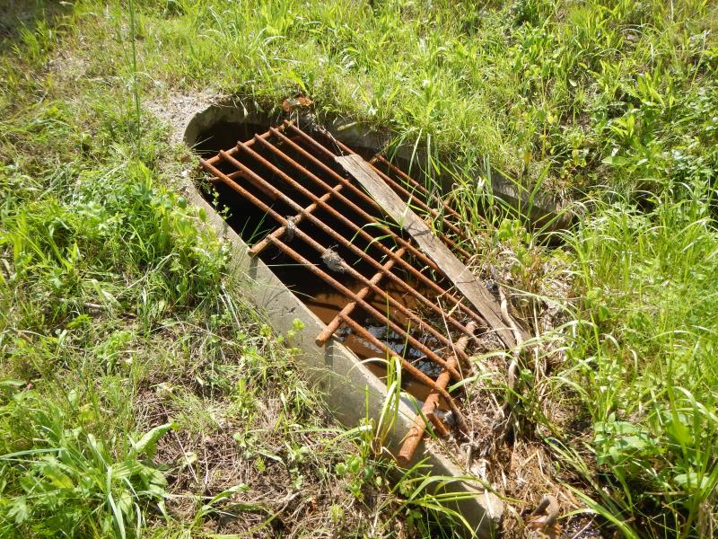
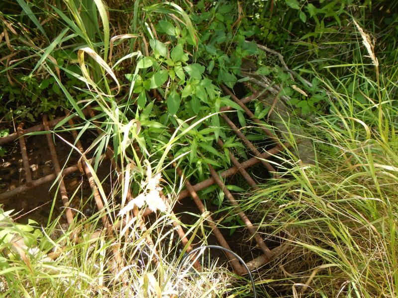
Inlet
Outlet
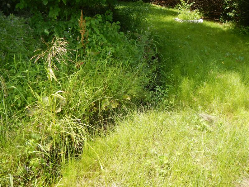
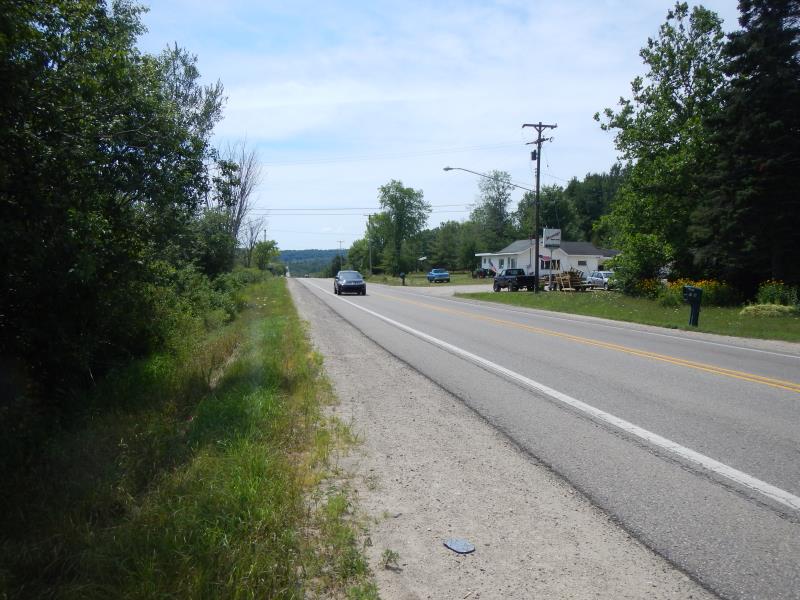
Upstream Conditions
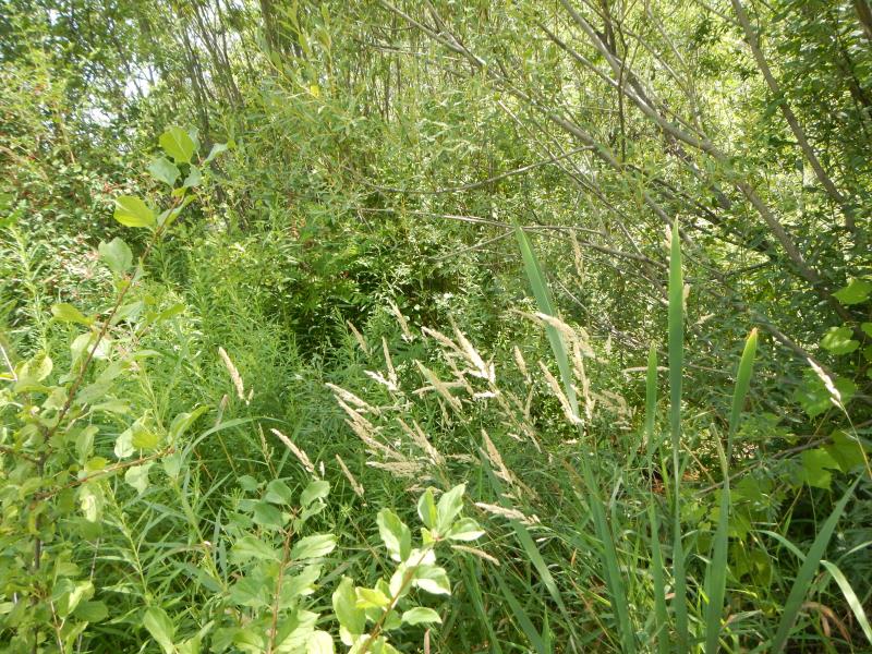
Downstream Conditions
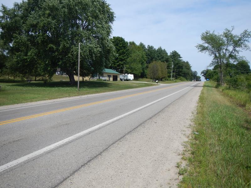
Road Approach - Left
Road Approach - Right
Crossing Information
Type of Crossing: culvert(s)
Number of Structures: 1
Structure Shape: Open Bottom Arch
Inlet Type: Trash Rack
Outlet Type: At Stream Grade
Structure Material: Concrete
Structure Substrate: Sand
Dimensions of Structure: Length 55 ft.
, Width 4 ft.
, Height 2 ft.
Percentage Plugged:
Inlet: 1% to 25%
Structure Inlet
Water Depth: 0.33 ft.
Water Velocity*: 0 ft./sec.
Structure Outlet
Water Depth: 0.1 ft.
Water Velocity*: 0 ft./sec.
(with Meter)
Riffle Information
Water Depth: 0.5 ft.
Bankfull Width: 2 ft.
Wetted Width: 2 ft.
Water Velocity: 0 ft./sec.
Road Information
Paved
State Road
Road Condition: Good
Road Width at Culvert: 30 ft.
Location of Low Point: At Stream
Runoff Path: Roadway
Embankments
Upstream
Fill Depth: 25 ft.
Slope: More than 1:2
Downstream
Fill Depth: 2 ft.
Slope: More than 1:2
Approaches
Left Approach
Length: 200 ft.
Slope: 1% to 5%
Vegetation: Partial
LS Factor: 0.48
Erosion: 0.0952 tons/year
Right Approach
Length: 300 ft.
Slope: 1% to 5%
Vegetation: Partial
LS Factor: 0.55
Erosion: 0.1636 tons/year
Erosion Information
Total Erosion at Crossing: 0.2588 tons/year
Summary Information
Fish Passability 0.5
�