Road Stream Crossing Site Jordan_EX-16
Lake Charlevoix Watershed, Unnamed tributary to Jordan River
Mount Bliss Rd
Charlevoix County
Information collected by:
Site Location
GPS Coordinates: 45.1180815625658
, -85.108948900948
Fish Passability 0.9
Total Erosion: 0.6083 tons/year
Severity: Moderate
Year Inventoried: 2015
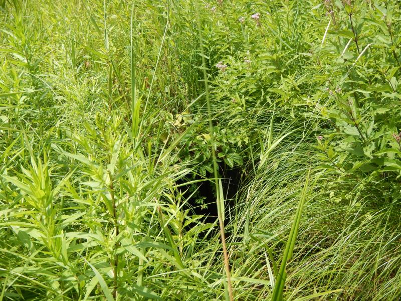
Inlet
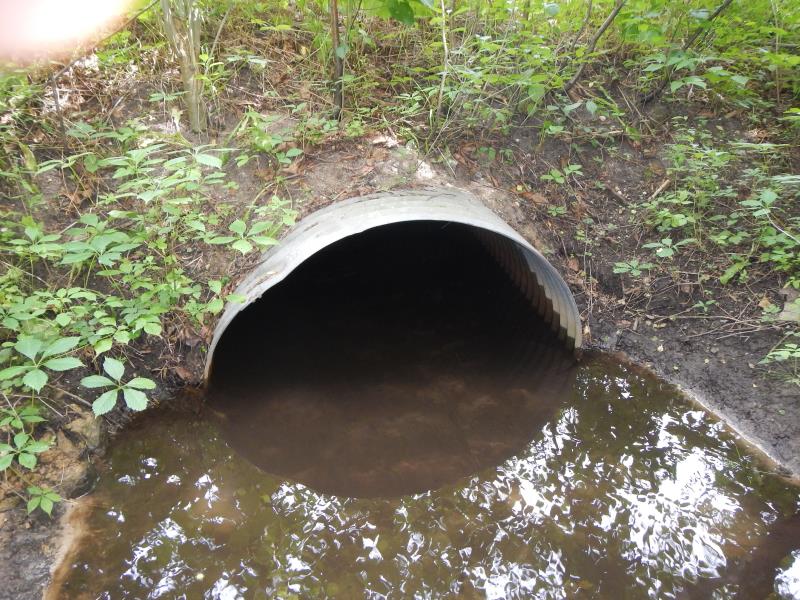
Outlet
Upstream Conditions
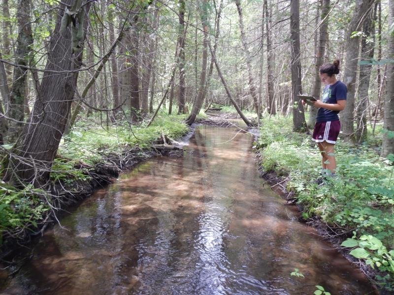
Downstream Conditions
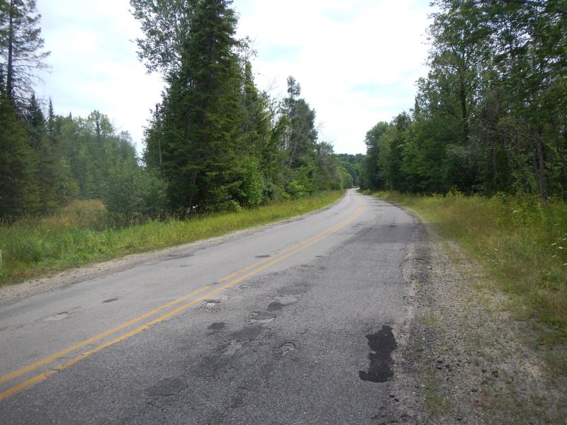
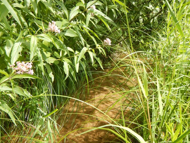
Road Approach - Left
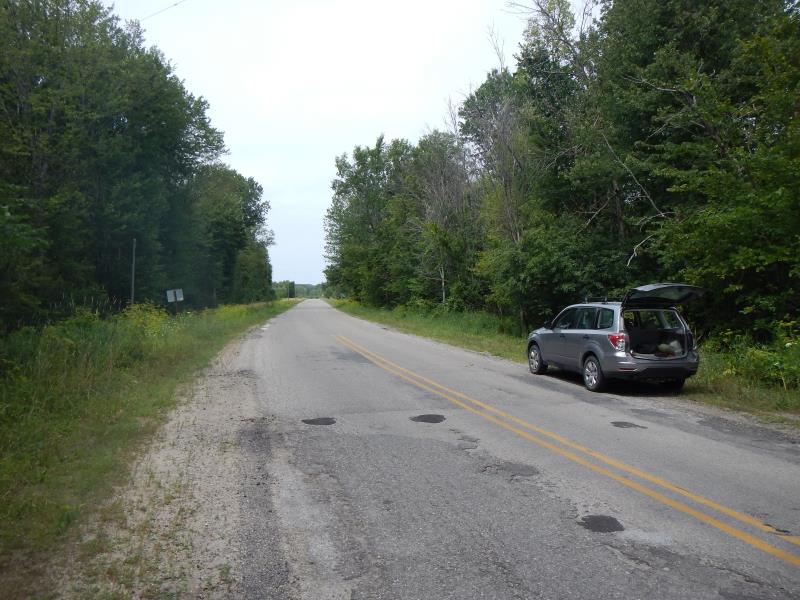
Road Approach - Right
Crossing Information
Type of Crossing: culvert(s)
Number of Structures: 1
Structure Shape: Round
Inlet Type: Projecting
Outlet Type: At Stream Grade
Structure Material: Metal
Structure Substrate: Sand
General Conditions: Good
Structure Interior: corrugated
Dimensions of Structure: Length 38 ft.
, Width 4 ft.
, Height 2 ft.
Percentage Plugged:
Outlet: 26% to 50%
Structure Inlet
Water Depth: 0.67 ft.
Embedded Depth of Structure: 0.5 ft.
Water Velocity*: 0.45 ft./sec.
Structure Outlet
Water Depth: 6.5 ft.
Embedded Depth of Structure: 1.5 ft.
Water Velocity*: 0.47 ft./sec.
(with Meter)
Stream Information
Stream Flow: Less than Bankfull
Riffle Information
Water Depth: 0.38 ft.
Bankfull Width: 9 ft.
Wetted Width: 8.5 ft.
Water Velocity: 0.6 ft./sec.
(Measured with Meter)
Dominant Substrate: Sand
Road Information
Paved
State Road
Road Condition: Good
Road Width at Culvert: 20 ft.
Embankments
Upstream
Fill Depth: 3 ft.
Slope: More than 1:2
Downstream
Approaches
Left Approach
Length: 800 ft.
Slope: 1% to 5%
Vegetation: Partial
LS Factor: 0.75
Erosion: 0.3967 tons/year
Right Approach
Length: 500 ft.
Slope: 1% to 5%
Vegetation: Partial
LS Factor: 0.64
Erosion: 0.2116 tons/year
Erosion Information
Total Erosion at Crossing: 0.6083 tons/year
Summary Information
Fish Passability 0.9
�