Road Stream Crossing Site Jordan_EX-17
Lake Charlevoix Watershed, Unnamed tributary to Jordan River
Carson Road
Charlevoix County
Information collected by:
Site Location
GPS Coordinates: 45.1200243640669
, -85.098481876615
Fish Passability 0.5
Total Erosion: 0.5554 tons/year
Severity: Moderate
Year Inventoried: 2015
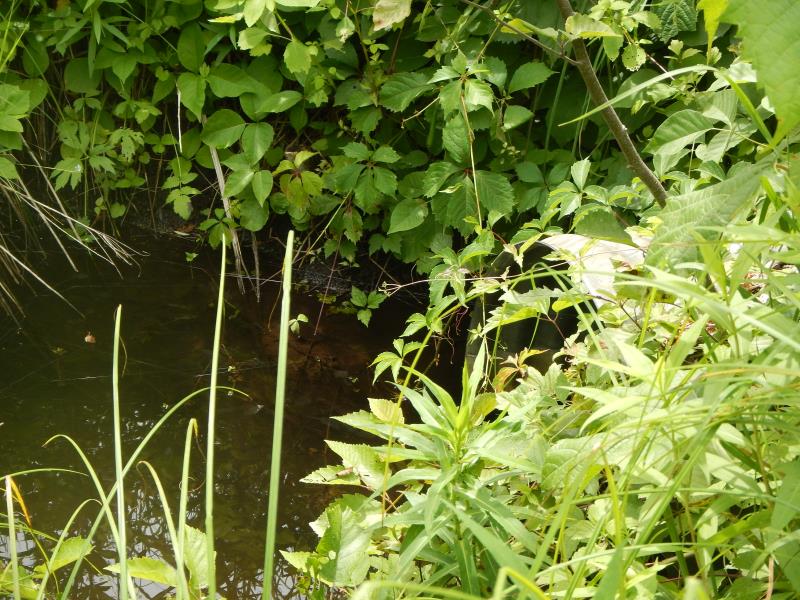
Inlet
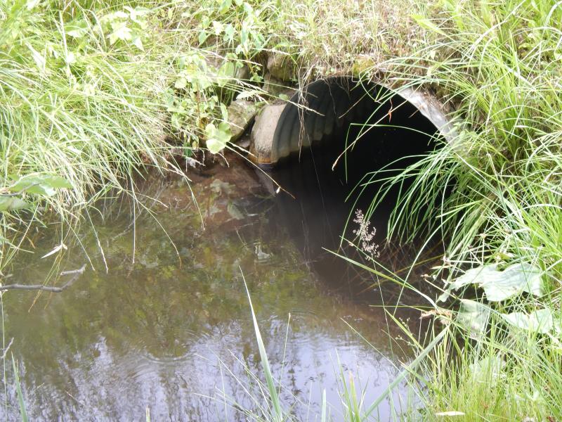
Outlet
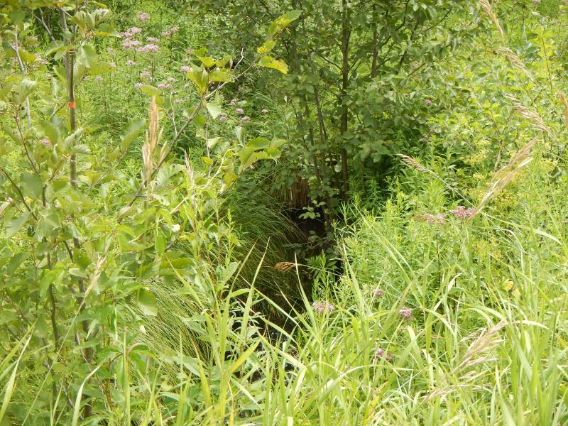
Upstream Conditions
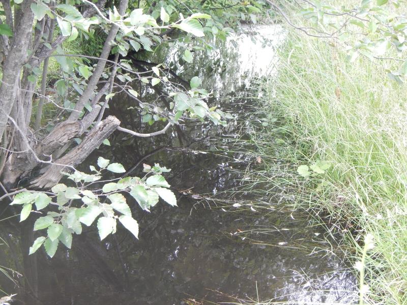
Downstream Conditions
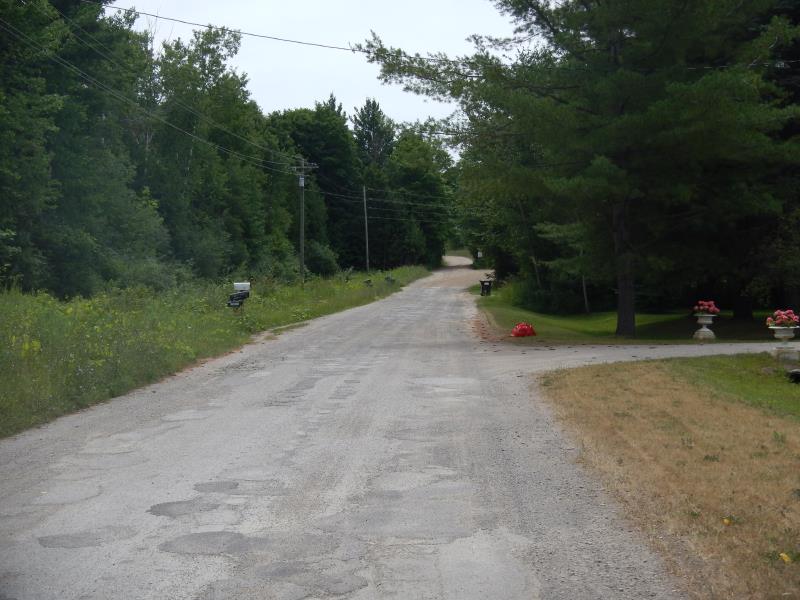
Road Approach - Left
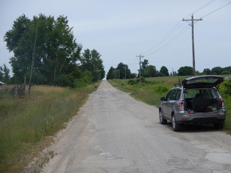
Road Approach - Right
Crossing Information
Type of Crossing: culvert(s)
Number of Structures: 1
Structure Shape: Round
Inlet Type: Projecting
Outlet Type: At Stream Grade
Structure Material: Metal
Structure Substrate: None
General Conditions: Good
Structure Interior: corrugated
Dimensions of Structure: Length 35 ft.
, Width 3 ft.
, Height 3 ft.
Structure Inlet
Water Depth: 0.67 ft.
Water Velocity*: 0.15 ft./sec.
Structure Outlet
Water Depth: 1.7 ft.
Water Velocity*: 0.3 ft./sec.
(with Meter)
Stream Information
Stream Flow: Bankfull
Riffle Information
Water Depth: 0.58 ft.
Bankfull Width: 3.75 ft.
Wetted Width: 3.75 ft.
Water Velocity: 0.9 ft./sec.
(Measured with Meter)
Dominant Substrate: Sand
Road Information
Paved
County Road
Road Condition: Poor
Road Width at Culvert: 20 ft.
Location of Low Point: At Stream
Runoff Path: Ditch
Embankments
Upstream
Fill Depth: 3 ft.
Slope: 1:2
Downstream
Fill Depth: 3.5 ft.
Slope: 1:1.5
Approaches
Left Approach
Length: 400 ft.
Slope: 1% to 5%
Vegetation: Partial
LS Factor: 0.6
Erosion: 0.1587 tons/year
Right Approach
Length: 800 ft.
Slope: 1% to 5%
Vegetation: Partial
LS Factor: 0.75
Erosion: 0.3967 tons/year
Erosion Information
Total Erosion at Crossing: 0.5554 tons/year
Summary Information
Fish Passability 0.5
�