Road Stream Crossing Site Jordan_EX-18
Lake Charlevoix Watershed, Unnamed tributary to Deer Creek
M-32
Charlevoix County
Information collected by:
Site Location
GPS Coordinates: 45.1323914967388
, -85.0842222760857
Fish Passability 0.9
Total Erosion: 0.0787 tons/year
Severity: Minor
Year Inventoried: 2015
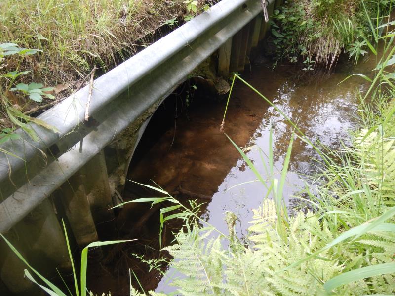
Inlet
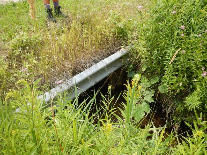
Outlet
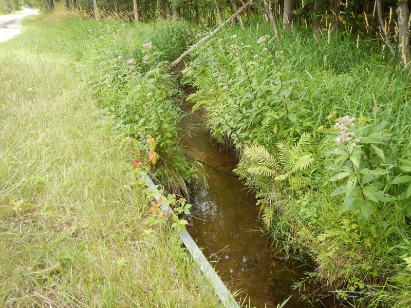
Upstream Conditions
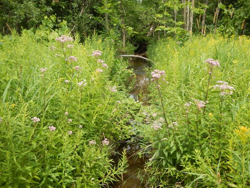
Downstream Conditions
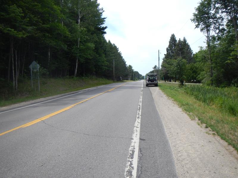
Road Approach - Left
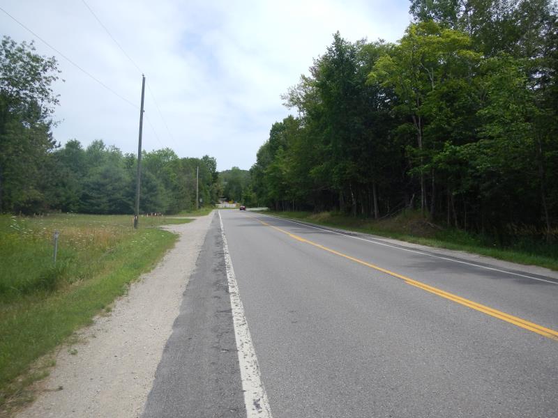
Road Approach - Right
Crossing Information
Type of Crossing: Bridge
General Conditions: Fair
Dimensions of Structure: Length 40 ft.
, Width 4 ft.
, Height 2.5 ft.
Structure Inlet
Water Depth: 0.6 ft.
Water Velocity*: 0.35 ft./sec.
Structure Outlet
Water Depth: 0.33 ft.
Water Velocity*: 0.3 ft./sec.
(with Meter)
Stream Information
Stream Flow: Less than Bankfull
Riffle Information
Water Depth: 0.67 ft.
Bankfull Width: 3.5 ft.
Wetted Width: 3.5 ft.
Water Velocity: 1.2 ft./sec.
Dominant Substrate: Sand
Road Information
Paved
State Road
Road Condition: Good
Road Width at Culvert: 25 ft.
Embankments
Upstream
Fill Depth: 1.5 ft.
Slope: 1:1.5
Downstream
Fill Depth: 1 ft.
Slope: 1:2
Approaches
Left Approach
Length: 80 ft.
Slope: 1% to 5%
Vegetation: Partial
LS Factor: 0.366
Erosion: 0.0242 tons/year
Right Approach
Length: 150 ft.
Slope: 1% to 5%
Vegetation: Partial
LS Factor: 0.44
Erosion: 0.0545 tons/year
Erosion Information
Total Erosion at Crossing: 0.0787 tons/year
Summary Information
Fish Passability 0.9
�