Road Stream Crossing Site Jordan_EX-19
Lake Charlevoix Watershed, Unnamed tributary to Deer Creek
M-32
Charlevoix County
Information collected by:
Site Location
GPS Coordinates: 45.1297892905703
, -85.0804954122794
Fish Passability 0.5
Total Erosion: 0.3818 tons/year
Severity: Moderate
Year Inventoried: 2015
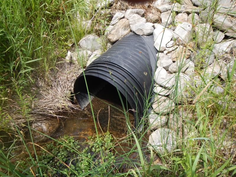
Inlet
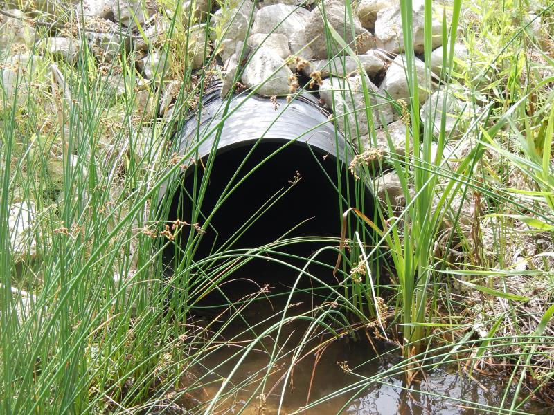
Outlet
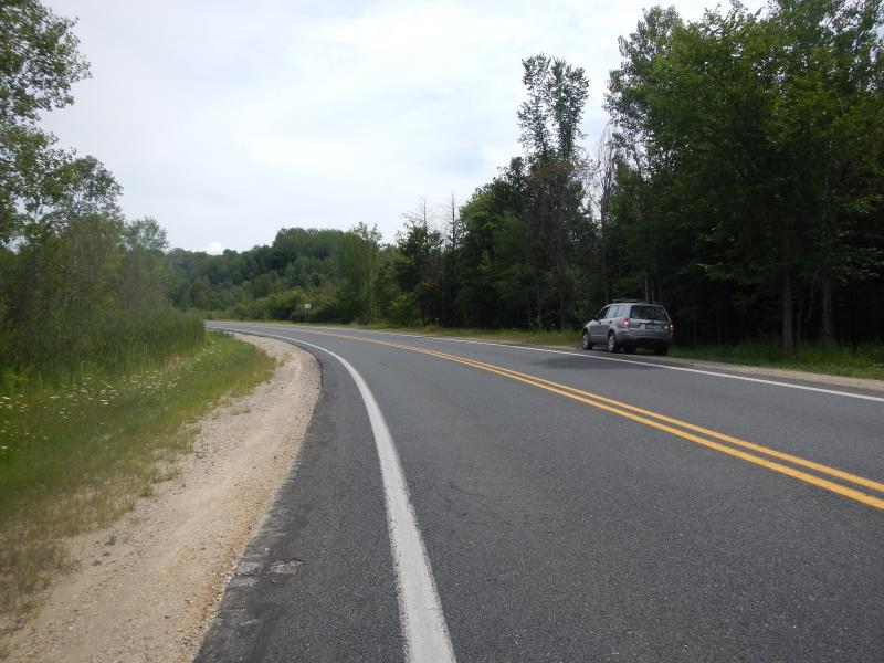
Upstream Conditions
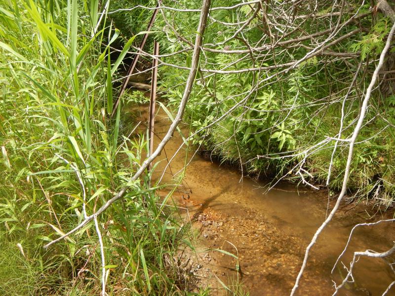
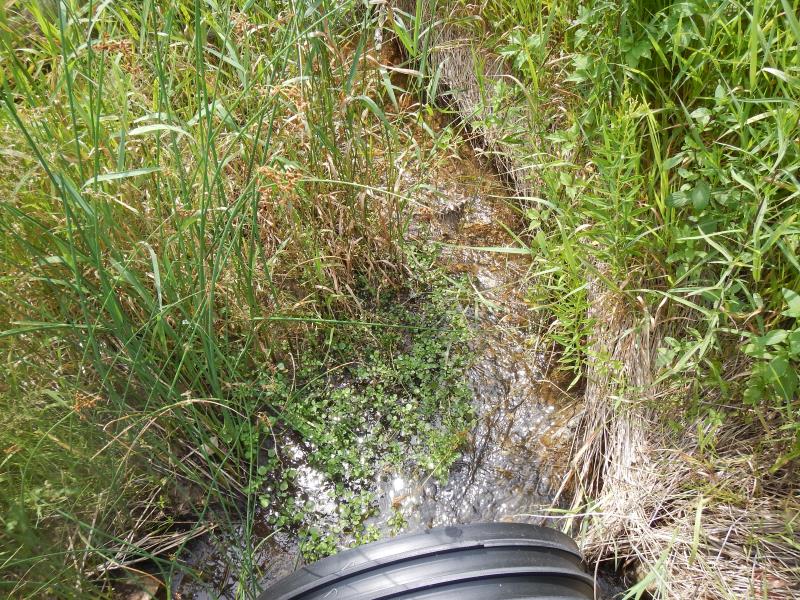
Downstream Conditions
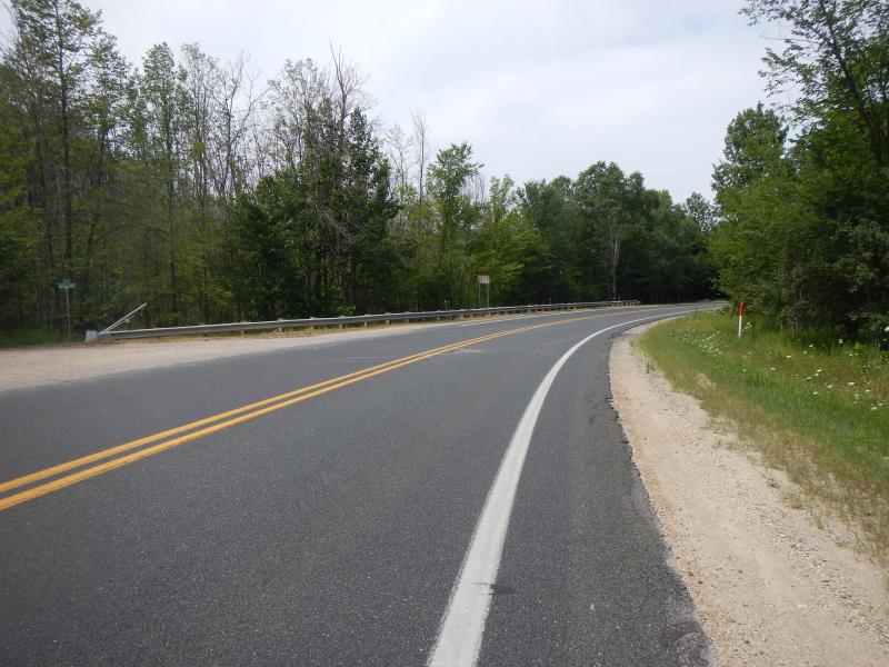
Road Approach - Left
Road Approach - Right
Crossing Information
Type of Crossing: culvert(s)
Number of Structures: 1
Structure Shape: Round
Inlet Type: Projecting
Outlet Type: At Stream Grade
Structure Material: Plastic
Structure Substrate: None
General Conditions: New
Dimensions of Structure: Length 55 ft.
, Width 3 ft.
, Height 3 ft.
Structure Inlet
Water Depth: 0.67 ft.
Water Velocity*: 1 ft./sec.
Structure Outlet
Water Depth: 0.67 ft.
Water Velocity*: 0.55 ft./sec.
(with Meter)
Stream Information
Stream Flow: Less than 1/2 Bankfull
Riffle Information
Water Depth: 0.47 ft.
Bankfull Width: 2.5 ft.
Wetted Width: 2.5 ft.
Water Velocity: 0.9 ft./sec.
(Measured with Meter)
Dominant Substrate: Gravel
Road Information
Paved
State Road
Road Condition: Good
Road Width at Culvert: 35 ft.
Embankments
Upstream
Fill Depth: 3.5 ft.
Slope: 1:2
Downstream
Fill Depth: 3 ft.
Slope: 1:2
Approaches
Left Approach
Length: 300 ft.
Slope: 1% to 5%
Vegetation: Partial
LS Factor: 0.55
Erosion: 0.1909 tons/year
Right Approach
Length: 300 ft.
Slope: 1% to 5%
Vegetation: Partial
LS Factor: 0.55
Erosion: 0.1909 tons/year
Erosion Information
Total Erosion at Crossing: 0.3818 tons/year
Summary Information
Fish Passability 0.5
�