Road Stream Crossing Site Jordan_EX-20
Lake Charlevoix Watershed, Unnamed tributary to Deer Creek
M-32
Charlevoix County
Information collected by:
Site Location
GPS Coordinates: 45.1224657951135
, -85.0643971689857
Fish Passability 0.5
Total Erosion: 1.3752 tons/year
Severity: Moderate
Year Inventoried: 2015
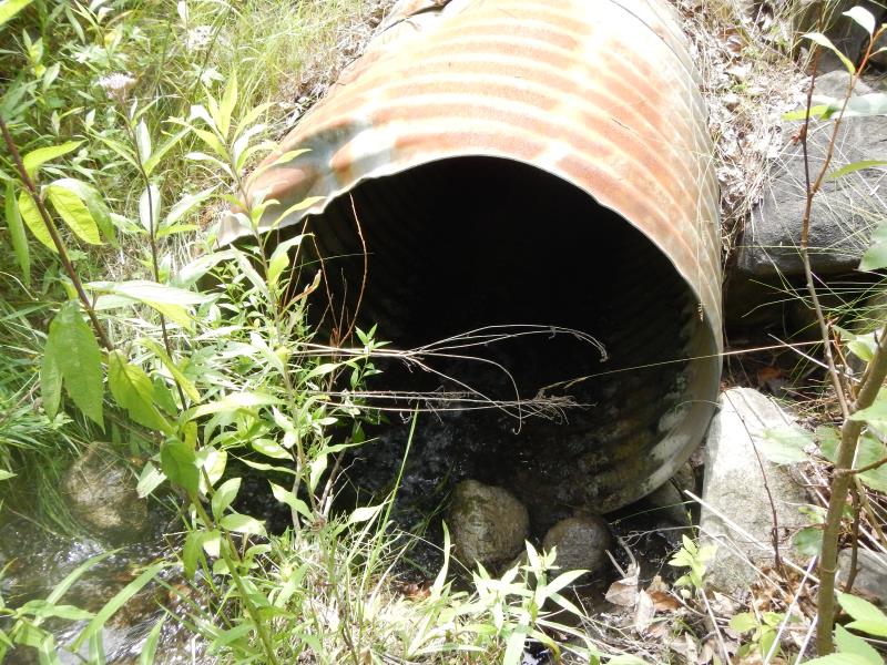
Inlet
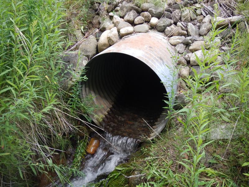
Outlet
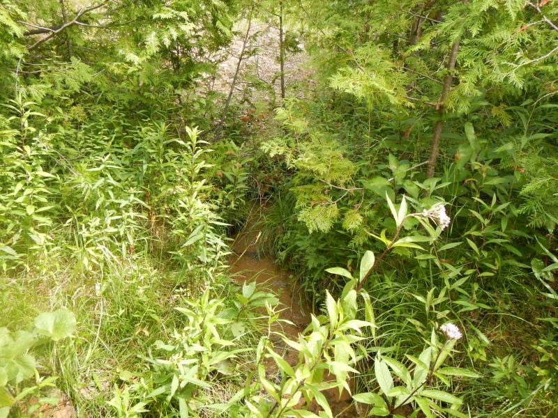
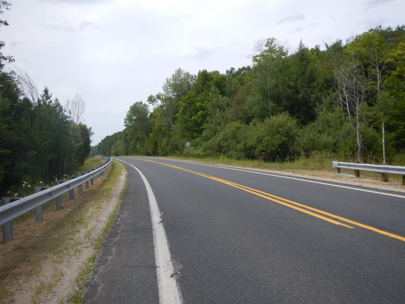
Upstream Conditions
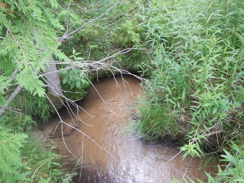
Downstream Conditions
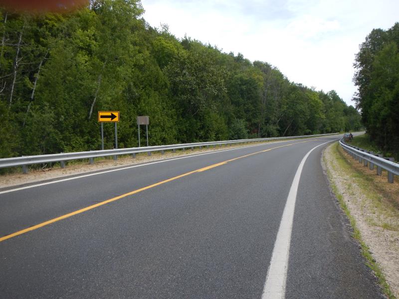
Road Approach - Left
Road Approach - Right
Crossing Information
Type of Crossing: culvert(s)
Number of Structures: 1
Structure Shape: Round
Inlet Type: Projecting
Outlet Type: Freefall into Pool
Structure Material: Metal
Structure Substrate: None
General Conditions: Fair
Structure Interior: corrugated
Dimensions of Structure: Length 60 ft.
, Width 3 ft.
, Height 3 ft.
Percentage Plugged:
Inlet: 0%
In Pipe: 1% to 25%
Structure Inlet
Water Depth: 0.33 ft.
Water Velocity*: 2.3 ft./sec.
Structure Outlet
Water Depth: 0.42 ft.
Water Velocity*: 2.75 ft./sec.
(with Meter)
Stream Information
Stream Flow: Less than Bankfull
Riffle Information
Water Depth: 0.33 ft.
Bankfull Width: 2.5 ft.
Wetted Width: 2.1 ft.
Water Velocity: 0.65 ft./sec.
(Measured with Meter)
Dominant Substrate: Sand
Road Information
Paved
State Road
Road Condition: Good
Road Width at Culvert: 40 ft.
Location of Low Point: At Stream
Runoff Path: Roadway
Embankments
Upstream
Fill Depth: 15 ft.
Slope: Vertical
Downstream
Fill Depth: 16 ft.
Approaches
Left Approach
Length: 1000 ft.
Slope: 1% to 5%
Vegetation: Partial
LS Factor: 0.8
Erosion: 1.0579 tons/year
Right Approach
Length: 400 ft.
Slope: 1% to 5%
Vegetation: Partial
LS Factor: 0.6
Erosion: 0.3174 tons/year
Erosion Information
Total Erosion at Crossing: 1.3752 tons/year
Summary Information
Fish Passability 0.5
�