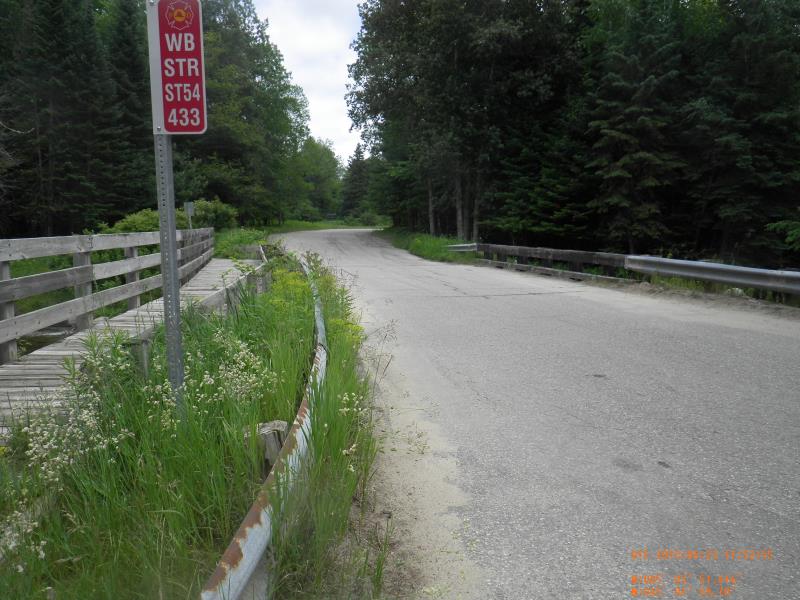
Road Stream Crossing Site Jordan_J-1
Lake Charlevoix Watershed, Jordan River
Graves Crossing
Antrim County
Information collected by:
Site Location
GPS Coordinates: 45.0332075932065
, -85.0640024447129
Owned by State
Total Erosion: 0.0833 tons/year
Severity: Restored
Year Inventoried: 2015
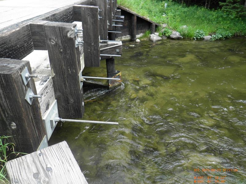
Inlet
Outlet
Upstream Conditions
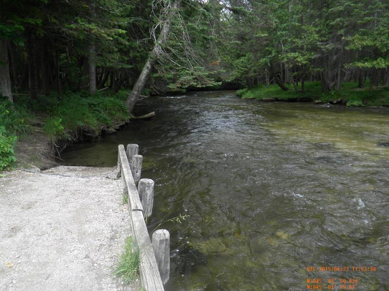
Downstream Conditions
Road Approach - Left
Road Approach - Right
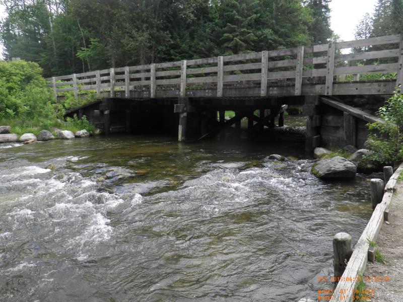
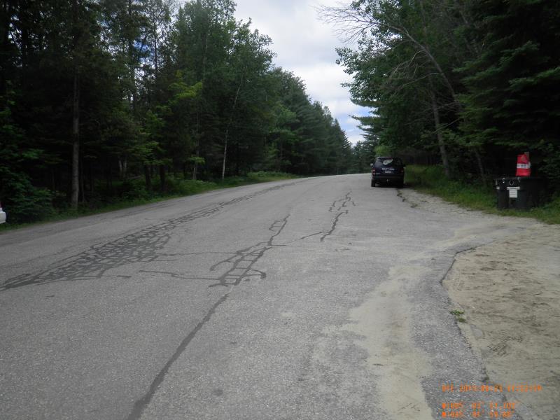
Crossing Information
Type of Crossing: Bridge
Structure Shape: Open Bottom Square/Rectangle
Inlet Type: Wingwall 30-70 Degree
Outlet Type: At Stream Grade
Structure Material: Wood
Structure Substrate: Mixture
General Conditions: Good
Structure Interior: smooth
Dimensions of Structure: Length 34 ft.
, Width 34 ft.
, Height 7 ft.
Structure Inlet
Water Depth: 2.4 ft.
Water Velocity*: 2.59 ft./sec.
Structure Outlet
Water Depth: 2.15 ft.
Water Velocity*: 2.66 ft./sec.
*Water Velocities were measured 1.44 ft. below Surface
(with Meter)
Stream Information
Stream Flow: Less than Bankfull
Riffle Information
Water Depth: 2.45 ft.
Bankfull Width: 40 ft.
Wetted Width: 50 ft.
Water Velocity: 3.1 ft./sec.
(Measured with Meter)
Dominant Substrate: Sand
Road Information
Paved
County Road
Road Condition: Good
Road Width at Culvert: 24 ft.
Location of Low Point: At Stream
Runoff Path: Roadway
Slope: Vertical
Slope: Vertical
Approaches
Left Approach
Length: 100 ft.
Slope: 1% to 5%
Vegetation: Partial
LS Factor: 0.39
Erosion: 0.0309 tons/year
Right Approach
Length: 150 ft.
Slope: 1% to 5%
Vegetation: Partial
LS Factor: 0.44
Erosion: 0.0524 tons/year
Erosion Information
Total Erosion at Crossing: 0.0833 tons/year
Extent of Erosion: Minor
Summary Information
Erosion is an area of concern for this site.
�