Road Stream Crossing Site Jordan_JO-13
Lake Charlevoix Watershed, Sutton Creek
Mount Bliss Rd
Antrim County
Information collected by:
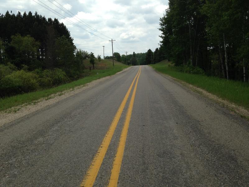
Site Location
GPS Coordinates: 45.0623090862578
, -85.0555351919694
Fish Passability 0.9
Total Erosion: 0.0195 tons/year
Severity: Moderate
Year Inventoried: 2015
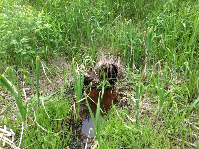
Inlet
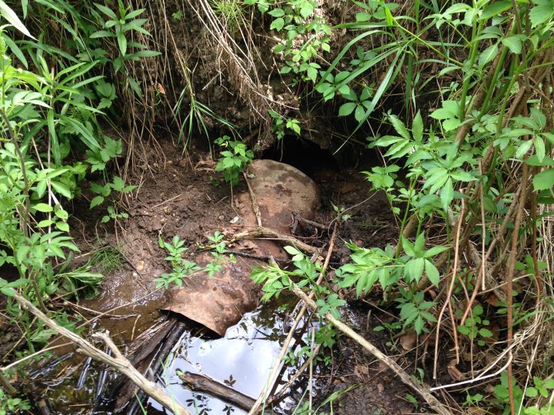
Outlet
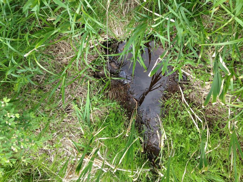
Upstream Conditions
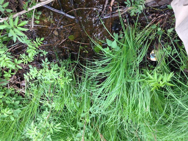
Downstream Conditions
Road Approach - Left
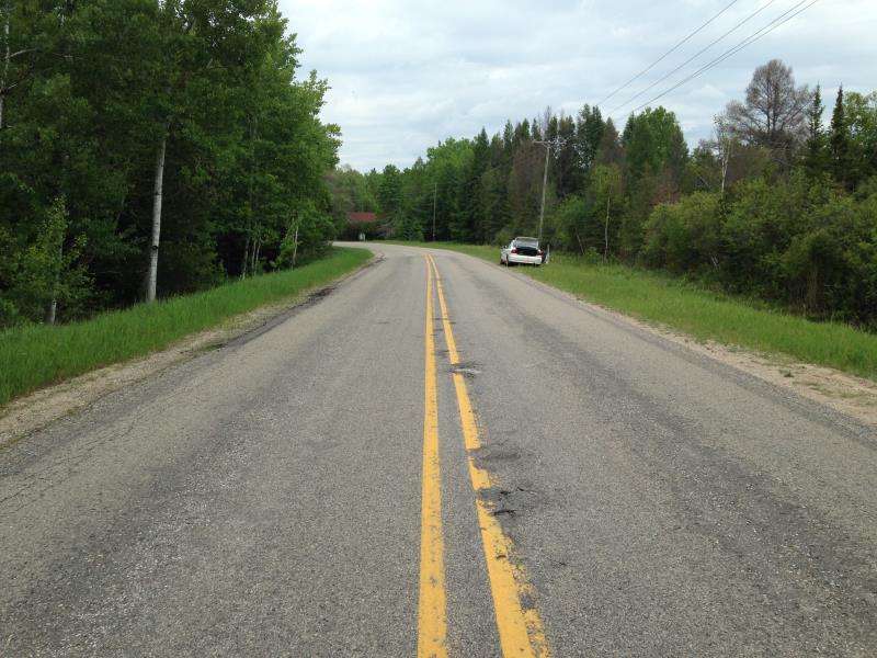
Road Approach - Right
Crossing Information
Type of Crossing: culvert(s)
Number of Structures: 1
Structure Shape: Round
Inlet Type: Projecting
Outlet Type: At Stream Grade
Structure Material: Metal
Structure Substrate: Mixture
General Conditions: Poor
Structure Interior: corrugated
Dimensions of Structure: Length 48 ft.
, Width 1.33 ft.
, Height 1.33 ft.
Percentage Plugged:
Inlet: 1% to 25%
Outlet: 76% to 100%
In Pipe: 0%
Structure Inlet
Water Depth: 0.42 ft.
Embedded Depth of Structure: 0.17 ft.
Water Velocity*: 0.01 ft./sec.
Structure Outlet
Water Depth: 0.25 ft.
Embedded Depth of Structure: 0.58 ft.
Water Velocity*: 0 ft./sec.
Riffle Information
Water Depth: 0.08 ft.
Bankfull Width: 1 ft.
Wetted Width: 1 ft.
Water Velocity: 0.1 ft./sec.
Road Information
Paved
County Road
Road Width at Culvert: 31 ft.
Embankments
Upstream
Fill Depth: 5 ft.
Slope: 1:1.5
Downstream
Fill Depth: 7.5 ft.
Slope: Vertical
Approaches
Left Approach
Length: 50 ft.
Slope: 1% to 5%
Vegetation: Heavy
LS Factor: 0.33
Erosion: 0.0169 tons/year
Right Approach
Length: 50 ft.
Slope: Less Than 1%
Vegetation: Heavy
LS Factor: 0.05
Erosion: 0.0026 tons/year
Erosion Information
Total Erosion at Crossing: 0.0195 tons/year
Extent of Erosion: Moderate
Notes: erosion listed location: outfall, culvert broken
Summary Information
Fish Passability 0.9
Fish Passage is an area of concern for this site.
also erosion
A future visit to this site is recommended. plugged, no flow
�