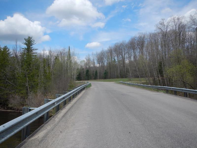
Road Stream Crossing Site Jordan_JO-18
Lake Charlevoix Watershed, Jordan River
Webster Bridge Road
Antrim County
Information collected by:
Site Location
GPS Coordinates: 45.101155873478
, -85.0972237202618
Structure is NOT Perched
Severity: Restored
Year Inventoried: 2015
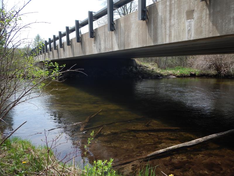
Inlet
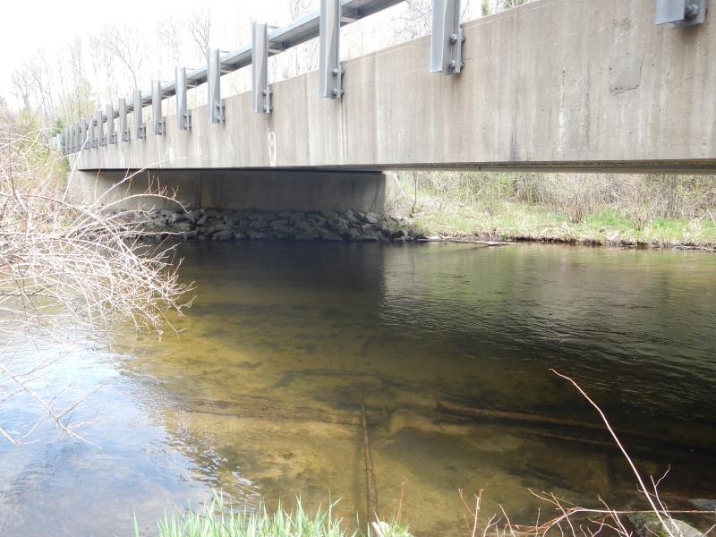
Outlet
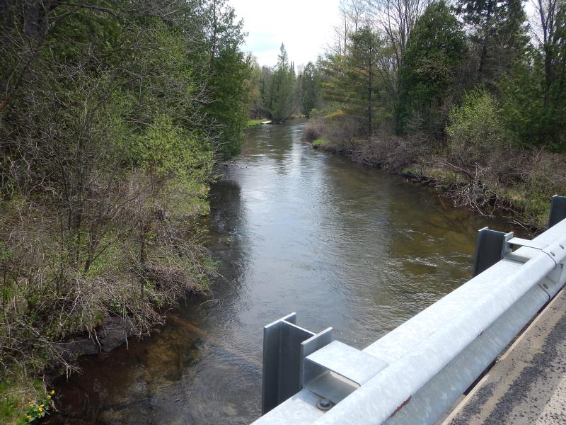
Upstream Conditions
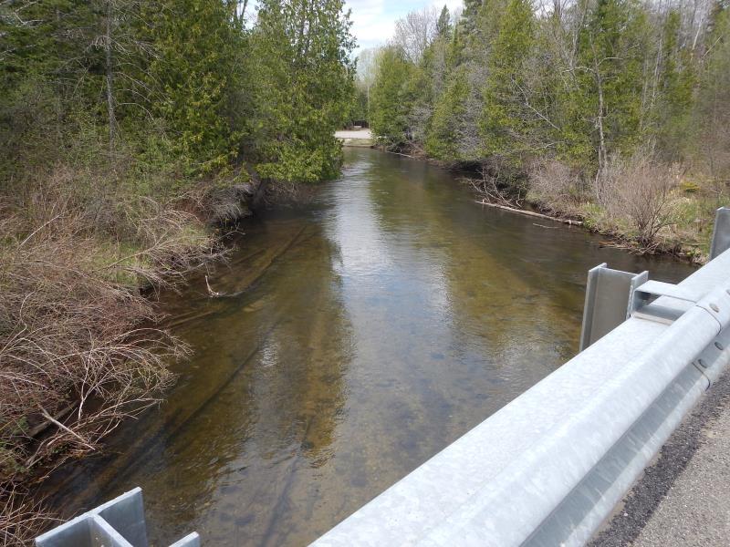
Downstream Conditions
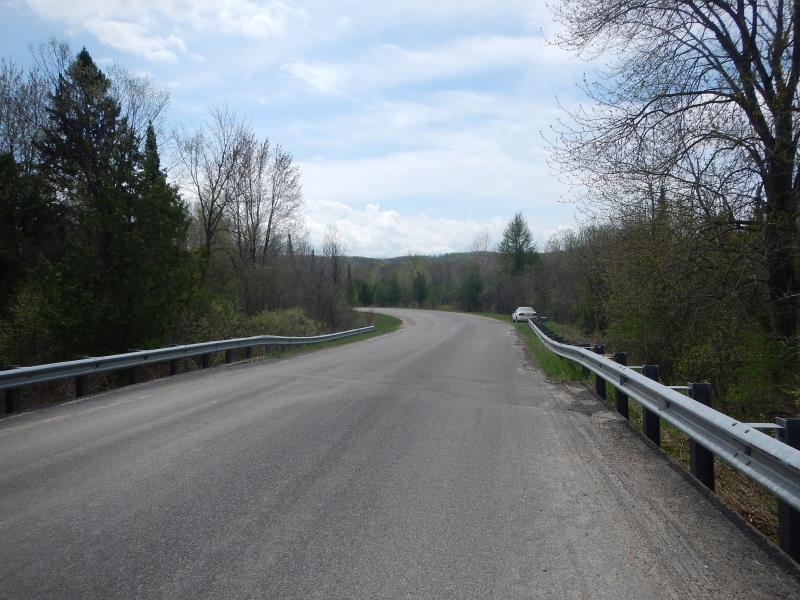
Road Approach - Left
Road Approach - Right
Crossing Information
Type of Crossing: Bridge
Structure Shape: Open Bottom Square/Rectangle
Inlet Type: Wingwall 30-70 Degree
Outlet Type: At Stream Grade
Structure Material: Concrete
Structure Substrate: Mixture
General Conditions: Good
Structure Interior: smooth
Dimensions of Structure: Length 106 ft.
, Width 32.5 ft.
, Height 10.5 ft.
Structure is NOT Perched
Structure Inlet
Water Depth: 2 ft.
Embedded Depth of Structure: 0 ft.
Water Velocity*: 2.62 ft./sec.
Structure Outlet
Water Depth: 2 ft.
Embedded Depth of Structure: 0 ft.
Water Velocity*: 2.62 ft./sec.
(with Meter)
Stream Information
Stream Flow: Less than Bankfull
Scour Pool: Length 0 ft.
, Width 0 ft.
, Depth 0 ft.
Upstream Pond: Length 0 ft.
, Width 0 ft.
, Depth 0 ft.
Riffle Information
Water Depth: 2.25 ft.
Bankfull Width: 54 ft.
Wetted Width: 52 ft.
Water Velocity: 2.62 ft./sec.
(Measured with Meter)
Dominant Substrate: Sand
Road Information
Gravel
County Road
Road Condition: Good
Location of Low Point: Other
Runoff Path: Roadway
Slope: Vertical
Slope: Vertical
Length: 53 ft.
Slope: Less Than 1%
Vegetation: Partial
Length: 250 ft.
Slope: Less Than 1%
Vegetation: Partial
Erosion Information
Extent of Erosion: Moderate
Notes:
none
Summary Information
Erosion is an area of concern for this site.
These non-native species were observerd at this site: buckthorn
�