Road Stream Crossing Site Jordan_JO-20
Lake Charlevoix Watershed, Severance Creek
Mount Bliss Rd
Antrim County
Information collected by:
Site Location
GPS Coordinates: 45.103557752242
, -85.0897293116141
Fish Passability 0.5
Total Erosion: 0.0083 tons/year
Severity: Moderate
Year Inventoried: 2015
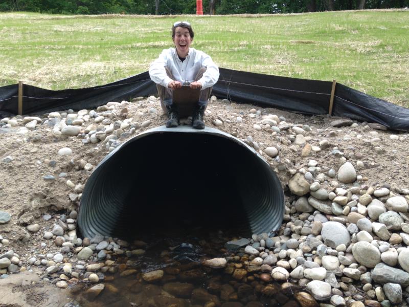
Inlet
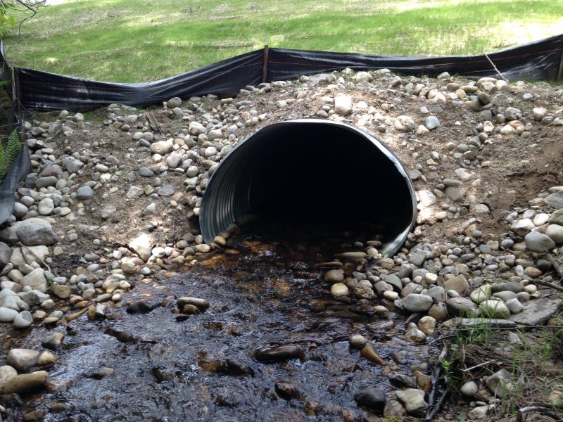
Outlet
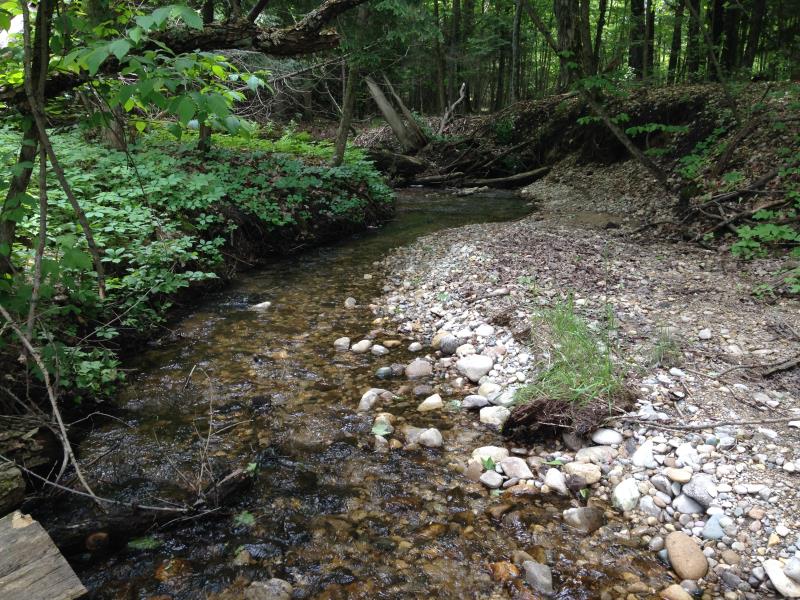
Upstream Conditions
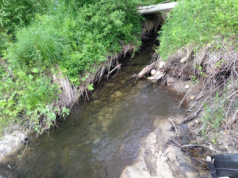
Downstream Conditions
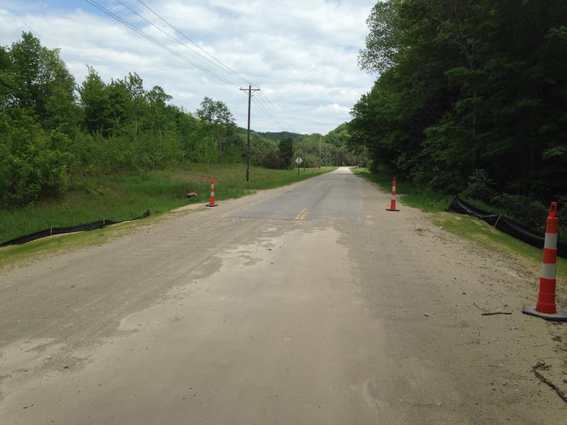
Road Approach - Left
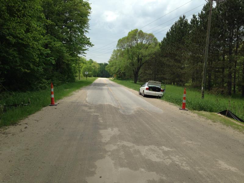
Road Approach - Right
Crossing Information
Type of Crossing: culvert(s)
Number of Structures: 1
Inlet Type: Projecting
Outlet Type: At Stream Grade
Structure Material: Metal
Structure Substrate: Rock
General Conditions: Good
Structure Interior: corrugated
Dimensions of Structure: Length 70 ft.
, Width 5.5 ft.
, Height 4 ft.
Structure Inlet
Water Depth: 0.45 ft.
Embedded Depth of Structure: 0.17 ft.
Water Velocity*: 2.4 ft./sec.
Structure Outlet
Water Depth: 0.4 ft.
Embedded Depth of Structure: 0.17 ft.
Water Velocity*: 1.6 ft./sec.
(with Meter)
Stream Information
Stream Flow: Less than Bankfull
Riffle Information
Water Depth: 0.31 ft.
Bankfull Width: 8 ft.
Wetted Width: 7.08 ft.
Water Velocity: 1.5 ft./sec.
Dominant Substrate: Cobble
Road Information
Paved
County Road
Road Condition: Good
Road Width at Culvert: 25 ft.
Runoff Path: Ditch
Embankments
Upstream
Fill Depth: 10 ft.
Slope: 1:1.5
Downstream
Fill Depth: 9 ft.
Slope: 1:2
Approaches
Left Approach
Length: 100 ft.
Slope: Less Than 1%
Vegetation: Partial
LS Factor: 0.05
Erosion: 0.0041 tons/year
Right Approach
Length: 100 ft.
Slope: Less Than 1%
Vegetation: Partial
LS Factor: 0.05
Erosion: 0.0041 tons/year
Erosion Information
Total Erosion at Crossing: 0.0083 tons/year
Notes: looks like once severe erosion that is being fixed- reseeded, new landscape cloth, etc.
Summary Information
Fish Passability 0.5
�