Road Stream Crossing Site Jordan_JO-22
Lake Charlevoix Watershed, Lilac Creek
M-66
Antrim County
Information collected by:
Site Location
GPS Coordinates: 45.0782566028057
, -85.0884032950794
Fish Passability 0.9
Total Erosion: 0.0347 tons/year
Severity: Minor
Year Inventoried: 2015
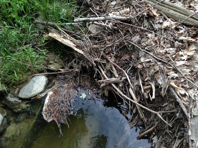
Inlet
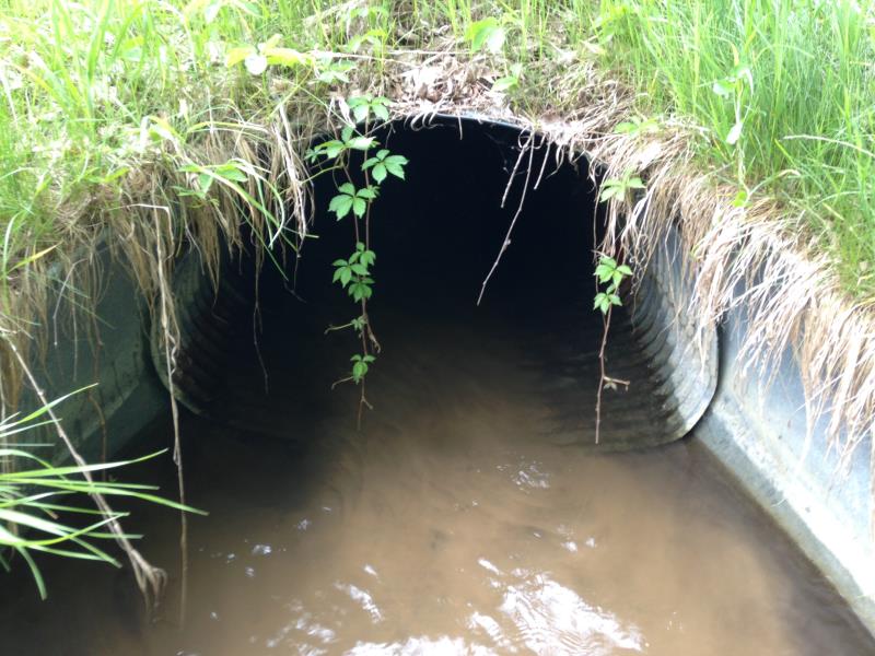
Outlet
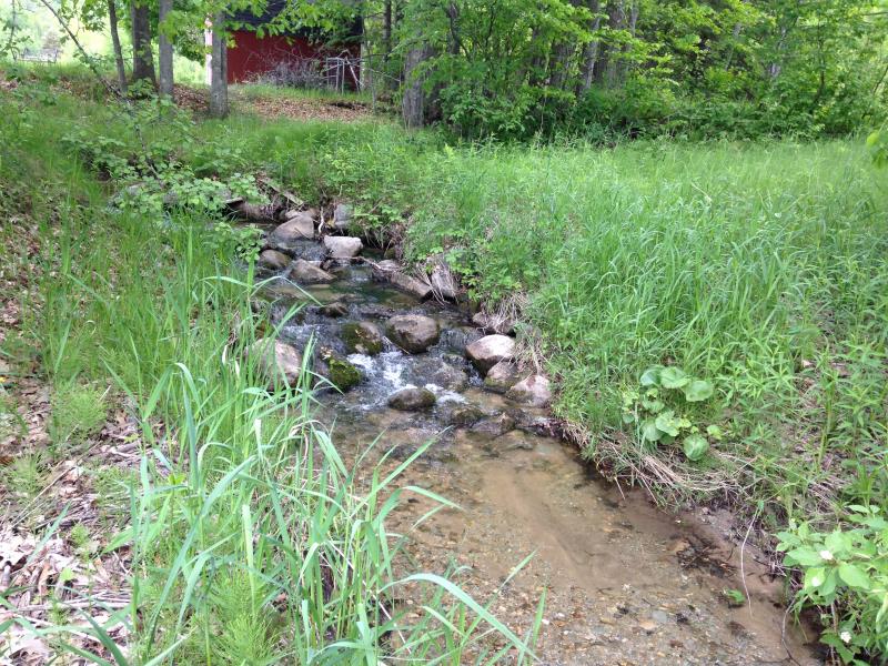
Upstream Conditions
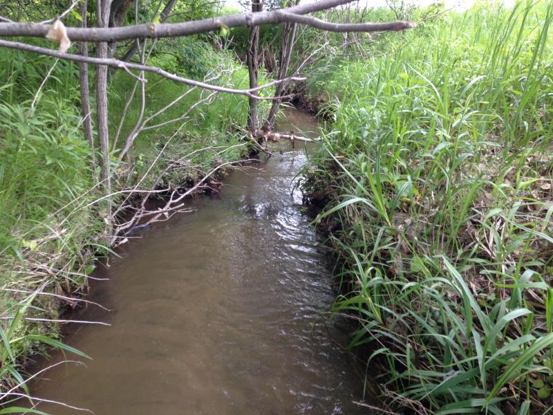
Downstream Conditions
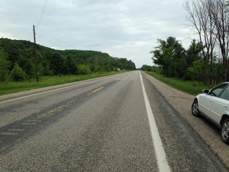
Road Approach - Left
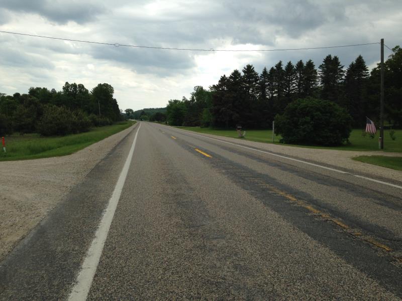
Road Approach - Right
Crossing Information
Type of Crossing: culvert(s)
Number of Structures: 1
Inlet Type: Mitered
Structure Material: Metal
Structure Substrate: Sand
Structure Interior: corrugated
Dimensions of Structure: Length 75 ft.
, Width 4.5 ft.
, Height 3.25 ft.
Percentage Plugged:
Inlet: 26% to 50%
Structure Inlet
Water Depth: 2.3 ft.
Embedded Depth of Structure: 0 ft.
Water Velocity*: 0.3 ft./sec.
Structure Outlet
Water Depth: 2.3 ft.
Embedded Depth of Structure: 0.08 ft.
Water Velocity*: 0.6 ft./sec.
(with Meter)
Stream Information
Stream Flow: Less than Bankfull
Scour Pool: Length 0 ft.
, Width 0 ft.
, Depth 0 ft.
Upstream Pond: Length 0 ft.
, Width 0 ft.
, Depth 0 ft.
Riffle Information
Water Depth: 0.7 ft.
Bankfull Width: 4 ft.
Wetted Width: 4 ft.
Water Velocity: 0.183 ft./sec.
(Measured with Meter)
Dominant Substrate: Sand
Road Information
Paved
State Road
Road Condition: Good
Road Width at Culvert: 42 ft.
Embankments
Upstream
Fill Depth: 7 ft.
Slope: Vertical
Downstream
Fill Depth: 6 ft.
Slope: 1:1.5
Approaches
Left Approach
Length: 200 ft.
Slope: Less Than 1%
Vegetation: Partial
LS Factor: 0.05
Erosion: 0.0139 tons/year
Right Approach
Length: 300 ft.
Slope: Less Than 1%
Vegetation: Partial
LS Factor: 0.05
Erosion: 0.0208 tons/year
Erosion Information
Total Erosion at Crossing: 0.0347 tons/year
Summary Information
Fish Passability 0.9
Fish Passage is an area of concern for this site.
plugged
A future visit to this site is recommended. plugged
�