Road Stream Crossing Site Jordan_JO-26
Lake Charlevoix Watershed, Webster Creek
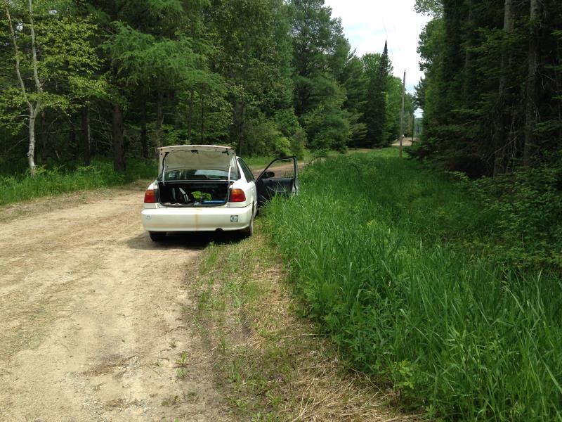
Morrison Rd
Antrim County
Information collected by:
Site Location
GPS Coordinates: 45.0898578678832
, -85.0808619892936
Fish Passability 0.5
Total Erosion: 0.0303 tons/year
Severity: Moderate
Year Inventoried: 2015
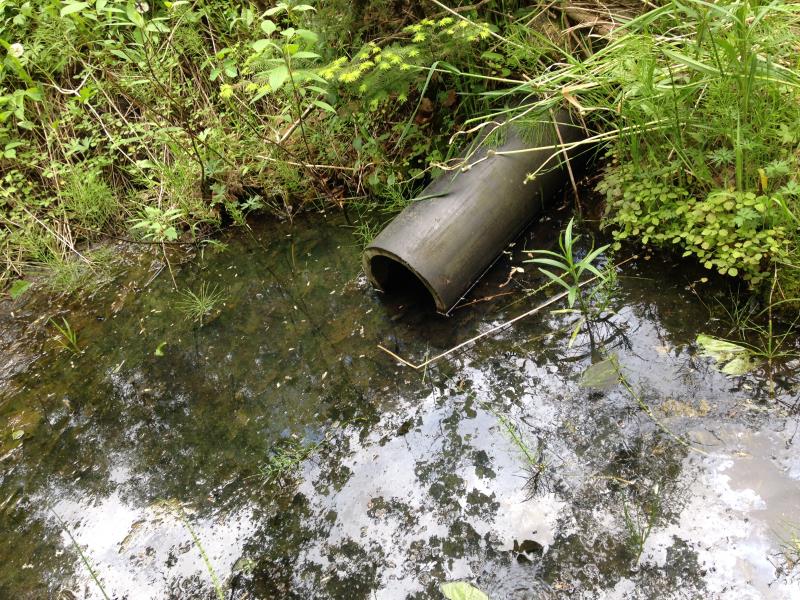
Inlet
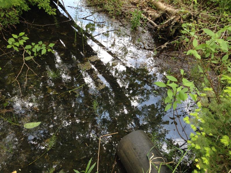
Outlet
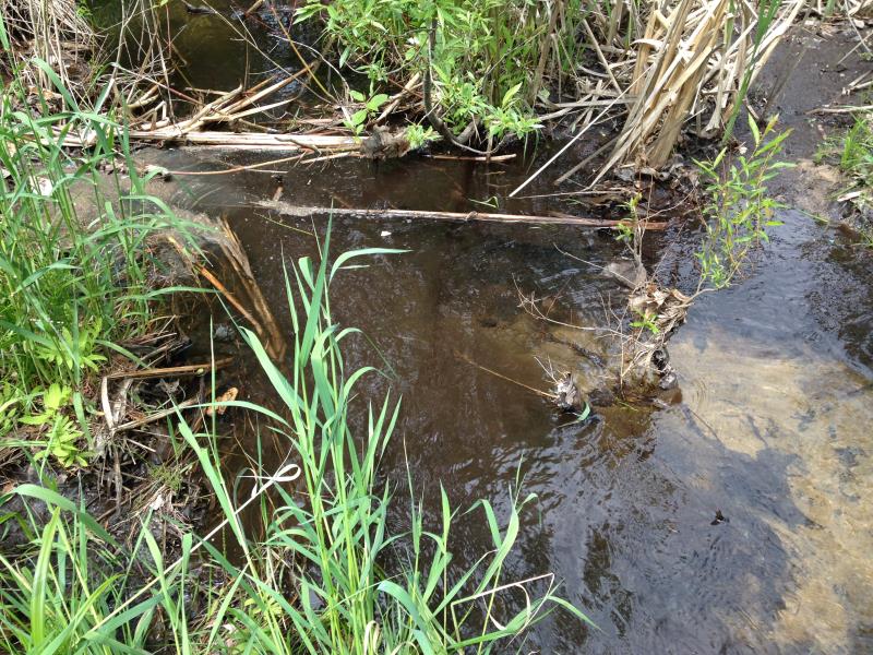
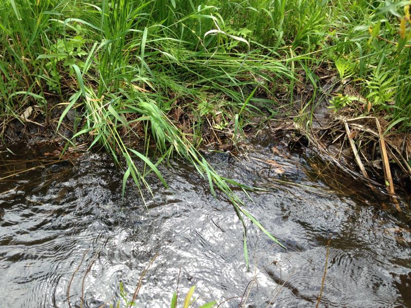
Upstream Conditions
Downstream Conditions
Road Approach - Left
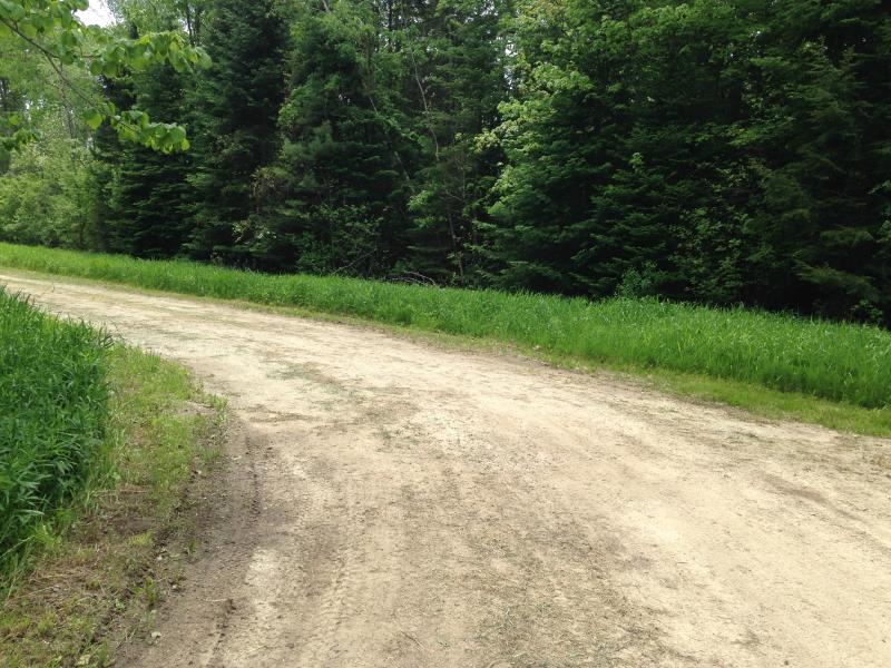
Road Approach - Right
Crossing Information
Type of Crossing: culvert(s)
Number of Structures: 1
Structure Shape: Round
Inlet Type: Projecting
Outlet Type: At Stream Grade
Structure Material: Concrete
Structure Substrate: Sand
General Conditions: Poor
Structure Interior: smooth
Dimensions of Structure: Length 40 ft.
, Width 0.67 ft.
, Height 0.67 ft.
Percentage Plugged:
Inlet: 76% to 100%
Water Depth: 0 ft.
Embedded Depth of Structure: 0 ft.
Water Velocity*: 0 ft./sec.
Structure Outlet
Water Depth: 0.17 ft.
Embedded Depth of Structure: 0.04 ft.
Water Velocity*: 0 ft./sec.
Stream Information
Stream Flow: Less than Bankfull
Riffle Information
Water Depth: 0 ft.
Bankfull Width: 0 ft.
Wetted Width: 0 ft.
Water Velocity: 0 ft./sec.
Road Information
Gravel
County Road
Road Width at Culvert: 22 ft.
Location of Low Point: At Stream
Embankments
Upstream
Fill Depth: 2 ft.
Slope: 1:2
Downstream
Fill Depth: 2 ft.
Slope: 1:2
Approaches
Left Approach
Length: 50 ft.
Slope: Less Than 1%
Vegetation: Heavy
LS Factor: 0.05
Erosion: 0.0152 tons/year
Right Approach
Length: 50 ft.
Slope: Less Than 1%
Vegetation: Heavy
LS Factor: 0.05
Erosion: 0.0152 tons/year
Erosion Information
Total Erosion at Crossing: 0.0303 tons/year
Summary Information
Fish Passability 0.5
A future visit to this site is recommended. plugged
�