Road Stream Crossing Site Jordan_JO-32
Lake Charlevoix Watershed, Sutton Creek
Rockford School
Antrim County
Information collected by:
Site Location
GPS Coordinates: 45.0529794036129
, -85.0118875801081
Fish Passability 0
Perch Height: 1.2 ft.
Total Erosion: 0.2832 tons/year
Severity: Severe
Year Inventoried: 2015
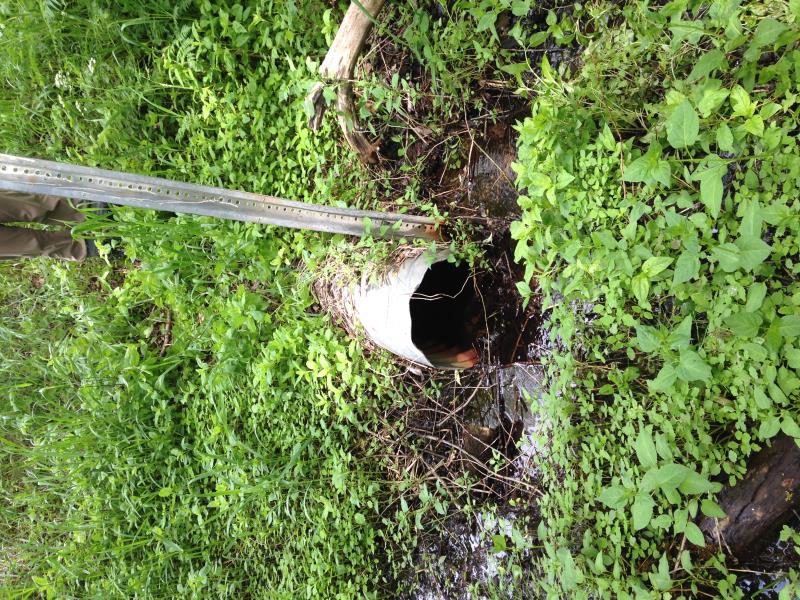
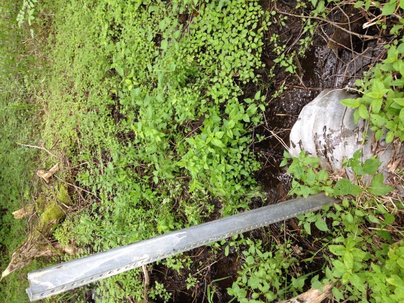
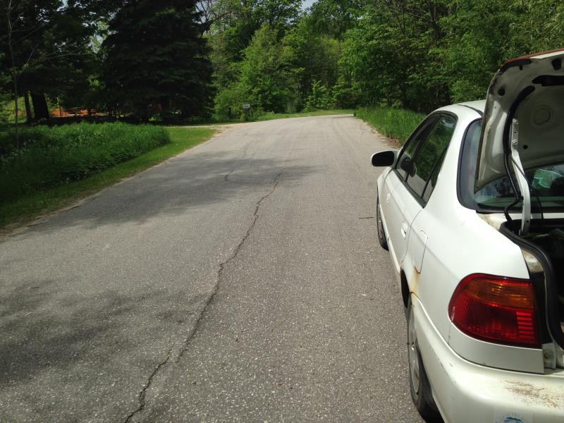
Inlet
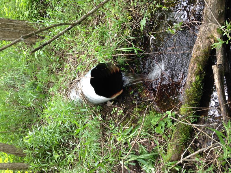
Outlet
Upstream Conditions
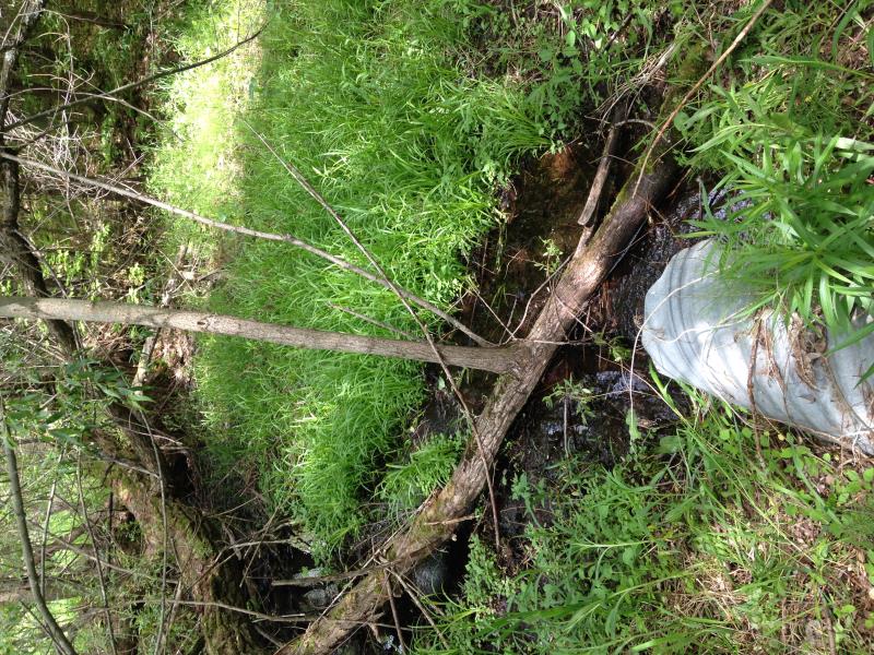
Downstream Conditions
Road Approach - Left
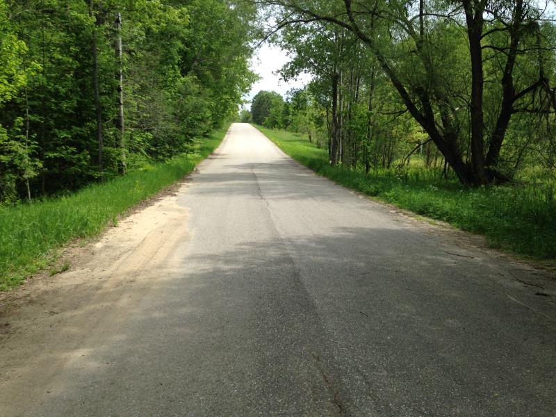
Road Approach - Right
Crossing Information
Type of Crossing: culvert(s)
Structure Shape: Round
Inlet Type: Projecting
Outlet Type: Freefall into Pool
Structure Material: Metal
Structure Substrate: None
General Conditions: Good
Structure Interior: corrugated
Dimensions of Structure: Length 60 ft.
, Width 1.25 ft.
, Height 1.25 ft.
Perch Height: 1.2 ft.
Structure Inlet
Water Depth: 0.2 ft.
Water Velocity*: 1 ft./sec.
Structure Outlet
Water Depth: 1 ft.
Water Velocity*: 2 ft./sec.
*Water Velocities were measured 0.17 ft. below Surface
(with Meter)
Stream Information
Stream Flow: Bankfull
Scour Pool: Length 3 ft.
, Width 2 ft.
, Depth 0.75 ft.
Riffle Information
Water Depth: 0.2 ft.
Bankfull Width: 7.58 ft.
Wetted Width: 0.25 ft.
Water Velocity: 0.6 ft./sec.
(Measured with Meter)
Dominant Substrate: Sand
Road Information
Paved
County Road
Road Width at Culvert: 28 ft.
Location of Low Point: At Stream
Embankments
Upstream
Fill Depth: 4 ft.
Slope: 1:2
Downstream
Fill Depth: 4 ft.
Slope: 1:1.5
Approaches
Left Approach
Length: 50 ft.
Slope: 1% to 5%
Vegetation: Partial
LS Factor: 0.32
Erosion: 0.0148 tons/year
Right Approach
Length: 200 ft.
Slope: 6% to 10%
Vegetation: Partial
LS Factor: 1.45
Erosion: 0.2684 tons/year
Erosion Information
Total Erosion at Crossing: 0.2832 tons/year
Summary Information
Fish Passability 0
Fish Passage is an area of concern for this site.
high perch
�