Road Stream Crossing Site Jordan_JO-8
Lake Charlevoix Watershed, Jordan River
Old State Rd
Jordan Twp,
Antrim County
Information collected by:
Site Location
GPS Coordinates: 45.060401380705
, -85.0690438486774
T31N
R6W
Sec 29
Owned by Private
State
State
Total Erosion: 0.0511 tons/year
Severity: Restored
Year Inventoried: 2019
Inlet
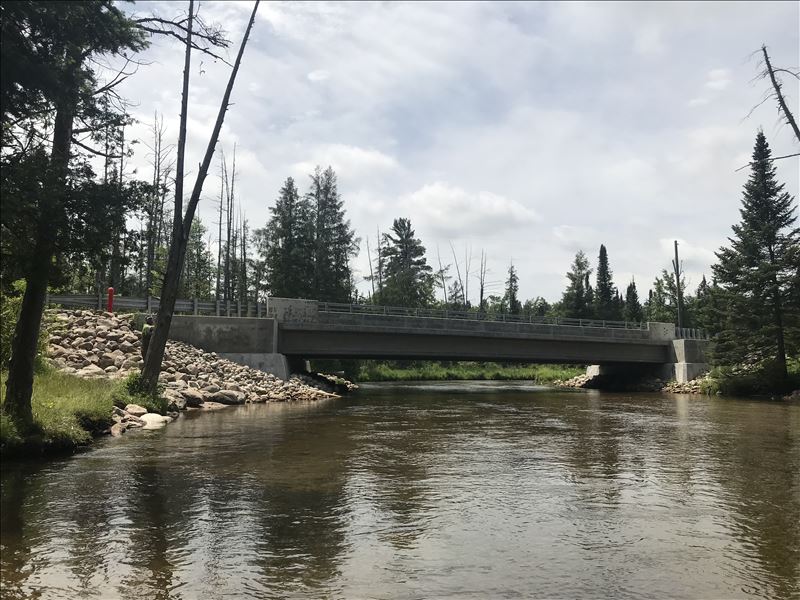
Outlet
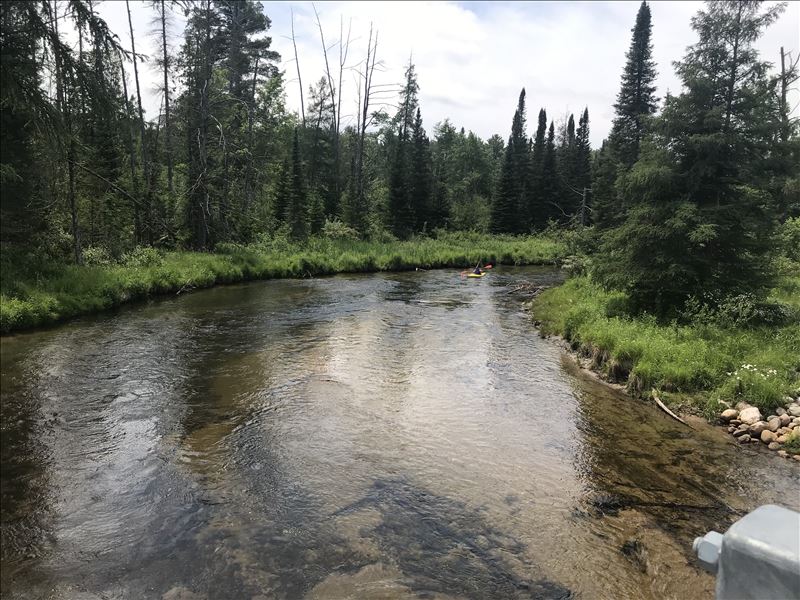
Upstream Conditions
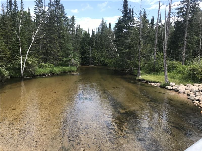
Downstream Conditions
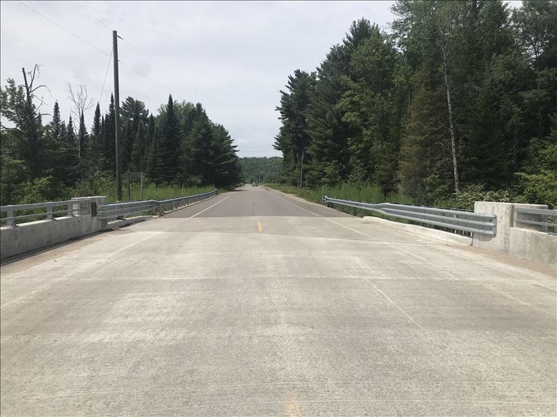
Road Approach - Left
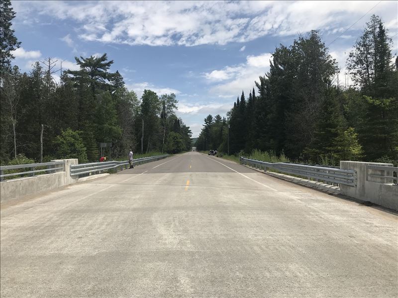
Road Approach - Right
Crossing Information
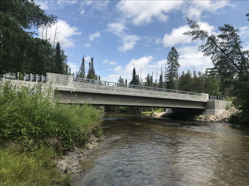
Type of Crossing: Bridge
Structure Shape: Open Bottom Square/Rectangle
Inlet Type: Wingwall 10-30 Degree
Outlet Type: At Stream Grade
Structure Material: Concrete
Structure Substrate: Sand
General Conditions: New
Structure Interior: smooth
Dimensions of Structure: Length 37.5 ft.
, Width 90 ft.
, Height 8 ft.
Structure Inlet
Water Depth: 1.5 ft.
Embedded Depth of Structure: 0 ft.
Water Velocity*: 2.3 ft./sec.
Structure Outlet
Water Depth: 1.5 ft.
Embedded Depth of Structure: 0 ft.
Water Velocity*: 2.3 ft./sec.
*Water Velocities were measured 1 ft. below Surface
(with Meter)
Additional Comments
Site restored in 2017. For more information visit www.rivercare.org Chestonia Bridge Project
Stream Information
Stream Flow: Less than 1/2 Bankfull
Riffle Information
Water Depth: 3.7 ft.
Bankfull Width: 54.25 ft.
Wetted Width: 45 ft.
Water Velocity: 2.2 ft./sec.
(Measured with Meter)
Dominant Substrate: Sand
Road Information
Paved
County Road
Road Condition: Good
Road Width at Culvert: 34 ft.
Location of Low Point: Other
Runoff Path: Ditch
Fill Depth: 0 ft.
Slope: More than 1:2
Fill Depth: 0 ft.
Slope: More than 1:2
Approaches
Left Approach
Length: 150 ft.
Slope: Less Than 1%
Vegetation: Heavy
LS Factor: 0.05
Erosion: 0.0084 tons/year
Right Approach
Length: 100 ft.
Slope: 1% to 5%
Vegetation: Heavy
LS Factor: 0.38
Erosion: 0.0427 tons/year
Erosion Information
Total Erosion at Crossing: 0.0511 tons/year
Extent of Erosion: Stabilized
Summary Information
Erosion is an area of concern for this site.
�