Road Stream Crossing Site Jordan_SA-10
Lake Charlevoix Watershed, Unnamed tributary to Brown Creek
Maple Street
Charlevoix County
Information collected by:
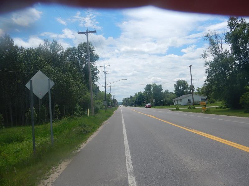
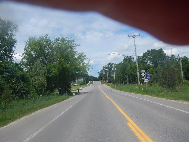
Site Location
GPS Coordinates: 45.1504520342922
, -85.1191440143724
Fish Passability 0.9
Total Erosion: 0.1388 tons/year
Severity: Minor
Year Inventoried: 2015
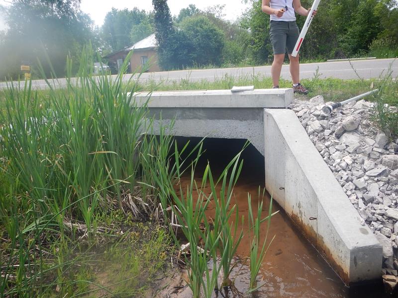
Inlet
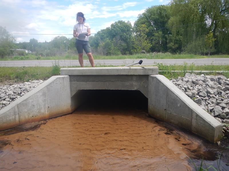
Outlet
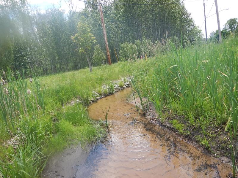
Upstream Conditions
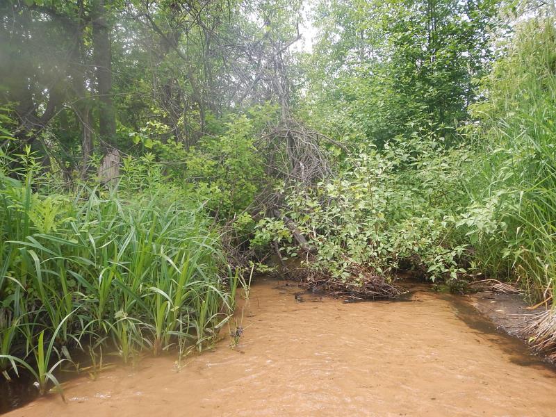
Downstream Conditions
Road Approach - Left
Road Approach - Right
Crossing Information
Type of Crossing: culvert(s)
Number of Structures: 1
Structure Shape: Square/Rectangle
Inlet Type: Apron
Outlet Type: At Stream Grade
Structure Material: Concrete
Structure Substrate: Sand
General Conditions: Good
Dimensions of Structure: Length 42 ft.
, Width 7.42 ft.
, Height 2.08 ft.
Structure Inlet
Water Depth: 0.2 ft.
Water Velocity*: 0.6 ft./sec.
Structure Outlet
Water Depth: 0.25 ft.
Water Velocity*: 0.8 ft./sec.
(with Meter)
Stream Information
Stream Flow: Bankfull
Riffle Information
Water Depth: 0.17 ft.
Bankfull Width: 7.33 ft.
Wetted Width: 7.33 ft.
Water Velocity: 0.39 ft./sec.
(Measured with Meter)
Dominant Substrate: Sand
Road Information
Paved
County Road
Road Condition: Good
Road Width at Culvert: 30 ft.
Embankments
Upstream
Fill Depth: 0.33 ft.
Slope: 1:1.5
Downstream
Fill Depth: 0.33 ft.
Slope: 1:1.5
Approaches
Left Approach
Length: 200 ft.
Slope: Less Than 1%
Vegetation: Partial
LS Factor: 0.05
Erosion: 0.0099 tons/year
Right Approach
Length: 250 ft.
Slope: 1% to 5%
Vegetation: Partial
LS Factor: 0.52
Erosion: 0.1289 tons/year
Erosion Information
Total Erosion at Crossing: 0.1388 tons/year
Summary Information
Fish Passability 0.9
�