Road Stream Crossing Site Jordan_SA-13
Lake Charlevoix Watershed, Birney Creek
Rogers Rd
Charlevoix County
Information collected by:
Site Location
GPS Coordinates: 45.1325165902225
, -85.1305308889104
Fish Passability 0.9
Total Erosion: 0.1116 tons/year
Severity: Minor
Year Inventoried: 2015
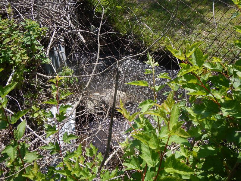
Inlet
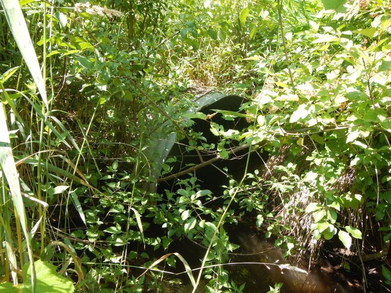
Outlet
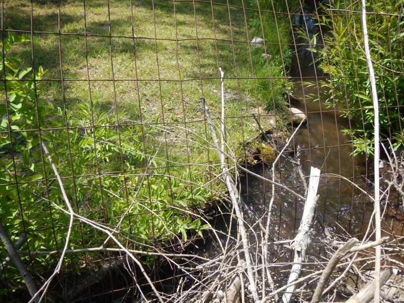
Upstream Conditions
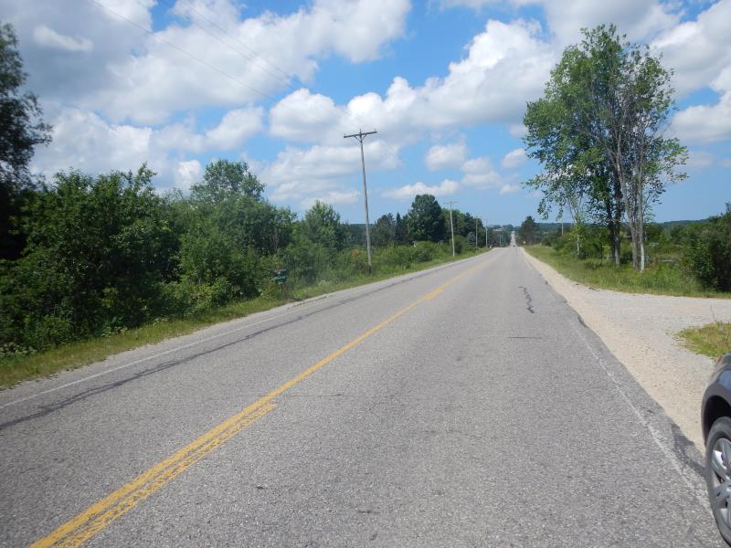
Road Approach - Left
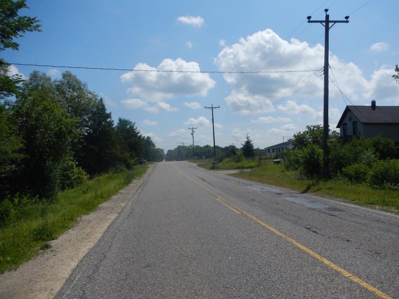
Road Approach - Right
Crossing Information
Type of Crossing: culvert(s)
Number of Structures: 2
Structure Shape: Round
Inlet Type: Projecting
Outlet Type: At Stream Grade
Structure Material: Metal
Structure Substrate: Sand
General Conditions: Fair
Multiple Culverts/Spans | ||||
Culvert/Span | Width | Length | Height | Material |
1 |
4 ft. |
40 ft. |
4 ft. |
Metal |
2 |
2 ft. |
40 ft. |
2 ft. |
Metal |
3 |
4 ft. |
40 ft. |
4 ft. |
Metal |
Structure Interior: corrugated
Dimensions of Structure: Length 40 ft.
, Width 4 ft.
, Height 4 ft.
Percentage Plugged:
Structure Inlet
Water Depth: 0.5 ft.
Water Velocity*: 1.75 ft./sec.
Structure Outlet
Water Depth: 0.8 ft.
Water Velocity*: 1.1 ft./sec.
*Water Velocities were measured 0.3 ft. below Surface
(with Meter)
Additional Comments
condition: 1- good 2- poor 3- fair
Stream Information
Stream Flow: Bankfull
Riffle Information
Water Depth: 0.5 ft.
Bankfull Width: 4 ft.
Wetted Width: 4 ft.
Water Velocity: 1.75 ft./sec.
(Measured with Meter)
Dominant Substrate: Sand
Road Information
Paved
County Road
Road Condition: Good
Road Width at Culvert: 25 ft.
Location of Low Point: At Stream
Runoff Path: Roadway
Embankments
Upstream
Fill Depth: 2.5 ft.
Slope: 1:1.5
Downstream
Fill Depth: 2.5 ft.
Slope: 1:2
Approaches
Left Approach
Length: 200 ft.
Slope: 1% to 5%
Vegetation: Partial
LS Factor: 0.48
Erosion: 0.0793 tons/year
Right Approach
Length: 100 ft.
Slope: 1% to 5%
Vegetation: Partial
LS Factor: 0.39
Erosion: 0.0322 tons/year
Erosion Information
Total Erosion at Crossing: 0.1116 tons/year
Summary Information
Fish Passability 0.9
Fish Passage is an area of concern for this site.
very plugged, swampy
A future visit to this site is recommended. plugged culverts, swampy
�