Road Stream Crossing Site Jordan_SA-14
Lake Charlevoix Watershed, Birney Creek
M-66
Charlevoix County
Information collected by:
Site Location
GPS Coordinates: 45.1257240072863
, -85.1344572501937
Fish Passability 0.9
Total Erosion: 0.263 tons/year
Severity: Minor
Year Inventoried: 2015
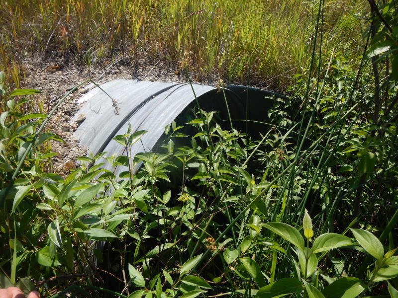
Inlet
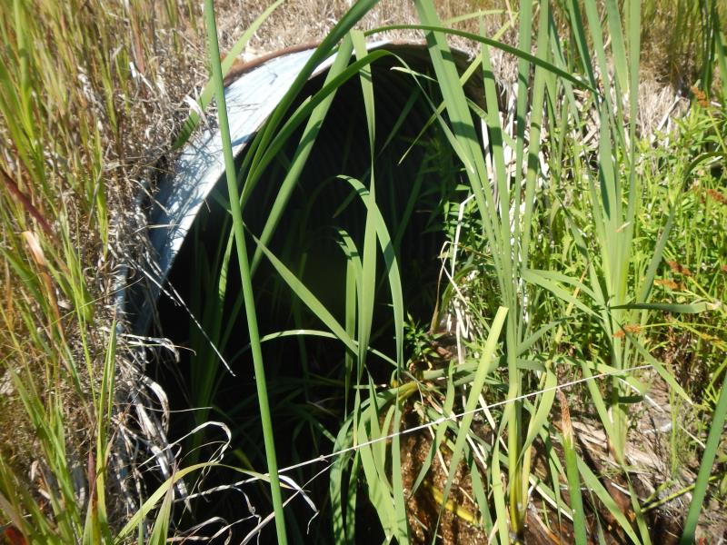
Outlet
Upstream Conditions
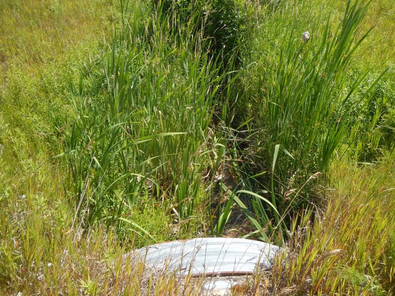
Downstream Conditions
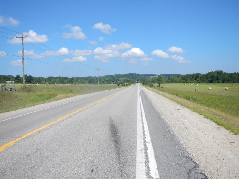
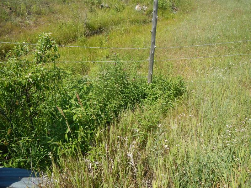
Road Approach - Left
Crossing Information
Type of Crossing: culvert(s)
Number of Structures: 1
Structure Shape: Round
Inlet Type: Projecting
Outlet Type: At Stream Grade
Structure Material: Metal
Structure Substrate: Sand
General Conditions: Good
Structure Interior: corrugated
Dimensions of Structure: Length 114 ft.
, Width 6 ft.
, Height 4 ft.
Percentage Plugged:
Inlet: 1% to 25%
Structure Inlet
Water Depth: 0.6 ft.
Embedded Depth of Structure: 0.08 ft.
Water Velocity*: 0.4 ft./sec.
Structure Outlet
Water Depth: 0.3 ft.
Embedded Depth of Structure: 0.08 ft.
Water Velocity*: 0.8 ft./sec.
*Water Velocities were measured 0.36 ft. below Surface
(with Meter)
Riffle Information
Water Depth: 0.5 ft.
Bankfull Width: 2 ft.
Wetted Width: 2 ft.
Water Velocity: 1.65 ft./sec.
(Measured with Meter)
Dominant Substrate: Sand
Road Information
Paved
State Road
Road Condition: Good
Road Width at Culvert: 39 ft.
Location of Low Point: At Stream
Fill Depth: 5 ft.
Slope: 1:2
Approaches
Left Approach
Length: 300 ft.
Slope: 1% to 5%
Vegetation: Partial
LS Factor: 0.55
Erosion: 0.2127 tons/year
Right Approach
Length: 100 ft.
Slope: 1% to 5%
Vegetation: Partial
LS Factor: 0.39
Erosion: 0.0503 tons/year
Erosion Information
Total Erosion at Crossing: 0.263 tons/year
Summary Information
Fish Passability 0.9
�