Road Stream Crossing Site Jordan_SA-3
Lake Charlevoix Watershed, Brown Creek
State Street
Charlevoix County
Information collected by:
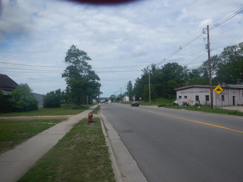
Site Location
GPS Coordinates: 45.1529373091439
, -85.1210580955787
Fish Passability 0
Total Erosion: 0.1785 tons/year
Severity: Severe
Year Inventoried: 2015
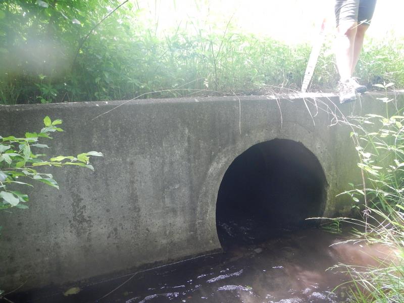
Inlet
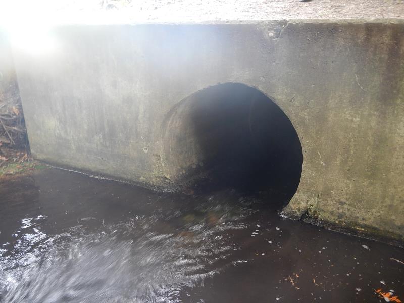
Outlet
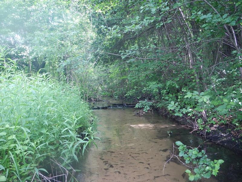
Upstream Conditions
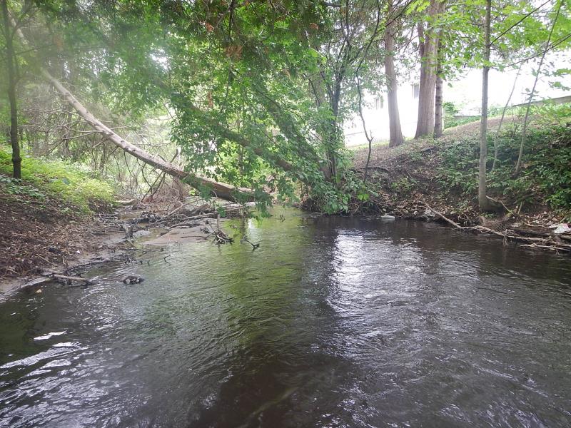
Downstream Conditions
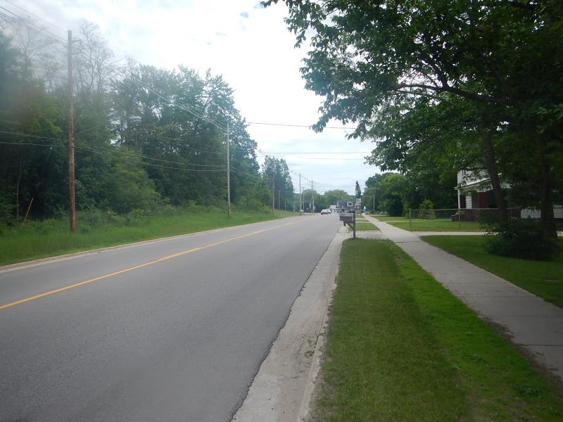
Road Approach - Left
Road Approach - Right
Crossing Information
Type of Crossing: culvert(s)
Number of Structures: 1
Structure Shape: Round
Inlet Type: Headwall
Outlet Type: At Stream Grade
Structure Material: Concrete
Structure Substrate: None
General Conditions: Good
Dimensions of Structure: Length 40 ft.
, Width 3 ft.
, Height 3 ft.
Structure Inlet
Water Depth: 0.83 ft.
Water Velocity*: 3.5 ft./sec.
Structure Outlet
Water Depth: 0.6 ft.
Water Velocity*: 4.2 ft./sec.
(with Meter)
Stream Information
Stream Flow: Less than Bankfull
Riffle Information
Water Depth: 0.41 ft.
Bankfull Width: 6.92 ft.
Wetted Width: 6.92 ft.
Water Velocity: 0.78 ft./sec.
(Measured with Meter)
Dominant Substrate: Sand
Road Information
Paved
County Road
Road Condition: Good
Road Width at Culvert: 20 ft.
Location of Low Point: Other
Runoff Path: Roadway
Embankments
Upstream
Fill Depth: 4 ft.
Slope: More than 1:2
Downstream
Fill Depth: 4.83 ft.
Slope: More than 1:2
Approaches
Left Approach
Length: 400 ft.
Slope: 1% to 5%
Vegetation: Partial
LS Factor: 0.6
Erosion: 0.1587 tons/year
Right Approach
Length: 500 ft.
Slope: Less Than 1%
Vegetation: None
LS Factor: 0.06
Erosion: 0.0198 tons/year
Erosion Information
Total Erosion at Crossing: 0.1785 tons/year
Extent of Erosion: Minor
Summary Information
Fish Passability 0
�