Road Stream Crossing Site Jordan_SA-37
Lake Charlevoix Watershed, Jordan River
Spring Street
Charlevoix County
Information collected by:
Site Location
GPS Coordinates: 45.1537273506735
, -85.1296282100597
Fish Passability 0.9
Total Erosion: 0 tons/year
Severity: Minor
Year Inventoried: 2015
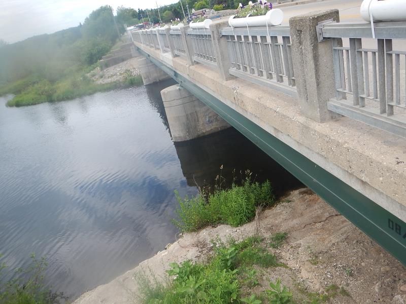
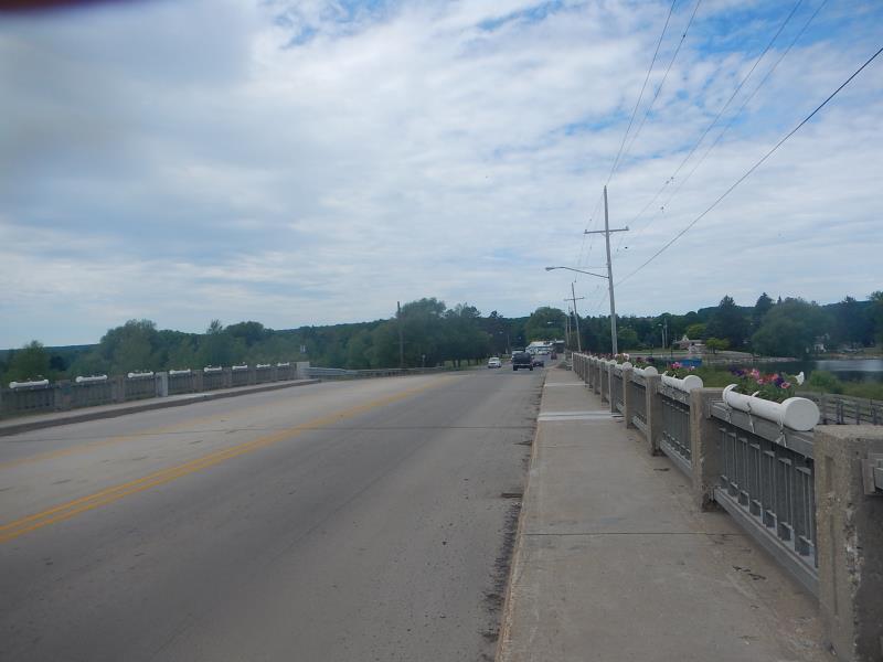
Inlet
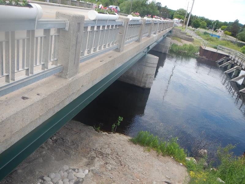
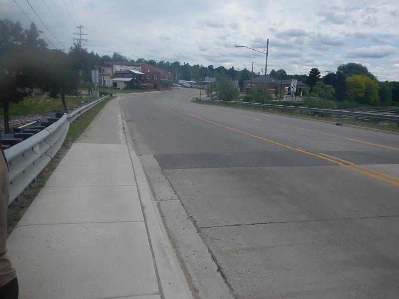
Outlet
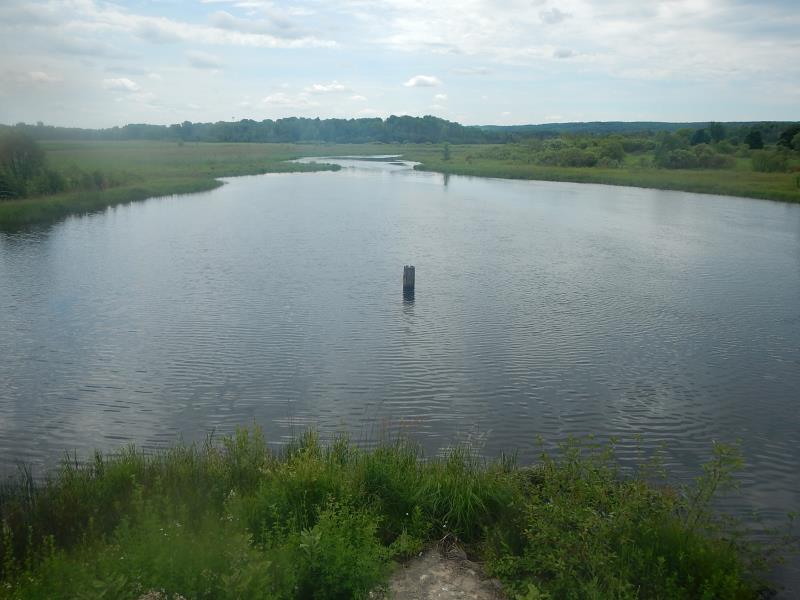
Upstream Conditions
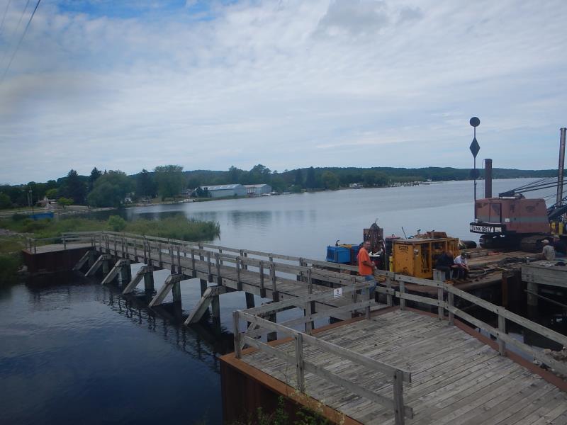
Downstream Conditions
Road Approach - Left
Road Approach - Right
Crossing Information
Type of Crossing: Bridge
Structure Material: Concrete
Structure Substrate: Sand
Dimensions of Structure: Length 35 ft.
, Width 97 ft.
, Height 15 ft.
Structure Inlet
Water Depth: 10 ft.
Water Velocity*: 0.9 ft./sec.
Structure Outlet
Water Depth: 10 ft.
Water Velocity*: 0.9 ft./sec.
Stream Information
Stream Flow: Bankfull
Riffle Information
Water Depth: 10 ft.
Bankfull Width: 97 ft.
Wetted Width: 97 ft.
Water Velocity: 2 ft./sec.
Road Information
Paved
State Road
Road Condition: Good
Road Width at Culvert: 35 ft.
Location of Low Point: Other
Runoff Path: Ditch
Slope: Vertical
Slope: Vertical
Approaches
Left Approach
Length: 0 ft.
Slope: Less Than 1%
Vegetation: None
LS Factor: 0.05
Erosion: 0 tons/year
Right Approach
Length: 0 ft.
Slope: Less Than 1%
Vegetation: None
LS Factor: 0.05
Erosion: 0 tons/year
Erosion Information
Total Erosion at Crossing: 0 tons/year
Extent of Erosion: Stabilized
Notes: well vegetated
Summary Information
Fish Passability 0.9
�